
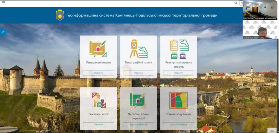
Since 2023, MagneticOne has worked with Kamianets-Podilskyi urban territorial community to build a GIS for urban planning, land resources and address management. Several implementation stages have made the platform one of the community’s core management tools.
Urban planning and topographic data
General plans for nine settlements were digitised and transformed into the USK-2000 coordinate system. An interactive module lets architects combine planning documents with the land cadastre, Address Register and other layers and automatically prepare extracts.
Topographic plans for six settlements, including Kamianets-Podilskyi, were digitised. The resulting database contains more than one hundred thematic layers covering buildings, boundaries, utility networks and elevation data.
Nearly 36,000 buildings in the Address Register
The project digitised almost 36,000 buildings and all community streets. Each building is linked topologically to its street, supporting accurate search and preparation for data exchange with the Unified State Address Register.
Integrated land information
Land-cadastre data supports audits and annual updates and is connected with planning and address information. Role-based access, specialist training and online consultations help departments work together securely.
The result is a unified digital environment in which architects and land specialists can make decisions using accurate spatial information.
Build an integrated municipal GIS
Start with an audit and a phased roadmap tailored to your community.