Mobile geoinformation system

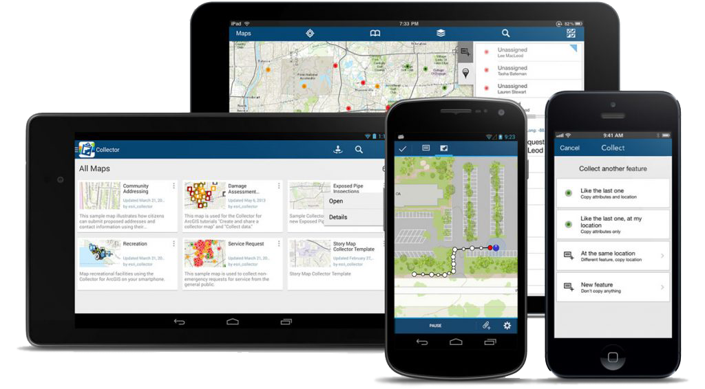
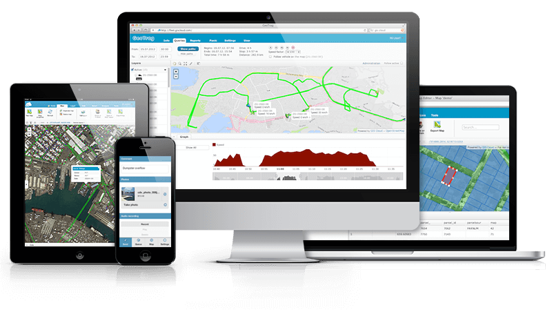
Mobile geoinformation system– is a cartographic application for mobile devices (smartphones, tablets) designed for access, processing, analysis and graphic visualization of spatial data, which allows working with information directly on the ground. Mobile GIS is becoming increasingly popular due to the wide spread of smartphones and tablets, has a relatively simple interface adapted to devices with small screens, and a limited set of functions.A mobile geographic information system is usually part of complex GIS solutions and is used:

  • by employees of the organization to collect, clarify and use on the ground information about objects, resources, performed works;
  • management of the organization and departments for visualization of various analytical information, quick and convenient access to data that is necessary for making management decisions.

Mobile GIS capabilities:

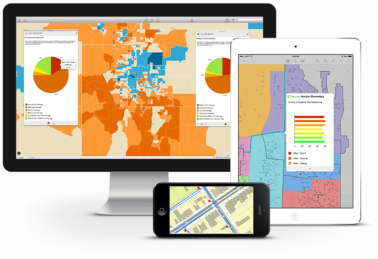
  • displaying a digital map in the form of a set of layers;
  • map navigation (zoom in, zoom out, move, etc.);
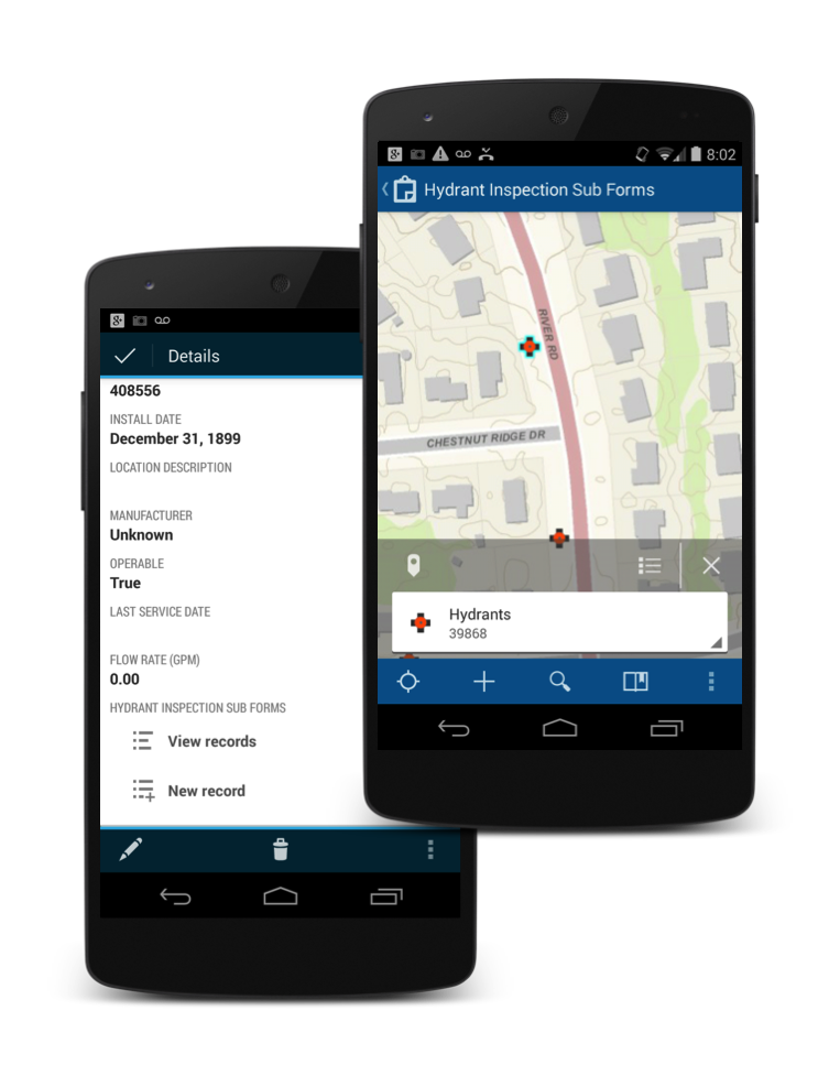
  • adding new and editing existing digital data (changing the geometry of objects and information about them);
  • adding raster data and base maps (satellite images, topographic map, street map, etc.);
  • connection to the display of new data sources (for example, the Public Cadastral Map of Ukraine, a digital terrain model, a general plan of a settlement, etc.).
Advantages of mobile GIS:

  • low cost of implementation for a large number of users. Instead of buying and installing a desktop GIS for each user, the organization can work in the environment of one GIS, which will be shared by many employees (for example, a mobile GIS of engineering communications or a mobile GIS of a territorial community);
  • global scope. A mobile GIS user can be anywhere in the world, having access to information from their mobile device;
  • ease of use. If desktop GIS is intended for professional users, specialists in the field of digital cartography, then mobile GIS is intended for a wide audience, including non-specialists. Mobile GIS is just as easy to use as a website – a simple, intuitive and ergonomic interface;
  • a single update mechanism. When working with mobile GIS, one update works for all users;
  • availability Unlike desktop GIS, which can be used by a limited number of people, mobile GIS can be used by all employees of the organization;
  • relative ease of creating a spatial object and filling it with attributive information;
  • the possibility of performing a group form of work. With a traditional desktop GIS, only one user can work at a specific time, while with a mobile GIS – dozens and hundreds of users at the same time.

The use of mobile GIS is aimed at solving problems

  • field cartography – creation, editing and updating of electronic maps and databases in the field in real time;
  • asset inventory – creation of property descriptions and related attribute information (for example, fire audit, planned inventory of engineering networks, etc.);
  • maintenance and inspection of assets – updating information about the location of assets, the conditions and schedule of their maintenance, repair (for example, updating the serviceability of street lights in the territorial community);
  • incident reporting – documenting the circumstances of incidents – traffic accidents, crimes (mobile application for police officers and emergency workers);
  • spatial analysis and decision-making – performing measurements, buffering, geoprocessing and other analysis in field conditions.

Cost and terms of order fulfillment

MagneticOne Municipal Technologies provides a full range of services related to GIS development, software customization, filling GIS with information, training of customer specialists, technical support and support of the geographic information system. Development terms are agreed upon additionally.

Services that precede the implementation of the solution