Land resources of the community are under control

Comprehensive audit of community land resources

We collect, digitize and analyze information about land plots from state registers, satellite images and community materials. The result is a complete picture of land use, identified risks and a practical plan to increase revenues to the local budget.
What does the community get?

Solutions for reasonable land management

01

Complete inventory

Registered and unregistered areas, boundaries, rights of use and restrictions are consolidated into a single system.

02

Detection of losses

Plots without a signed lease, arbitrary use, violation of purpose and unused community lands.

03

Basis for decisions

Map, structured database and analytical materials for planning, controlling and increasing budget revenues.

Data sources

Verified information from official and local sources

For the audit, we use the data of the State Land Cadastre, the State Register of Property Rights, registers of court decisions and regulatory monetary valuation, tax information, satellite images and customer materials.

  • legal documents and state acts;
  • maps of soldering, field roads and local cartographic materials;
  • orthophoto plans and high-precision aerial photography data;
  • updating in accordance with the terms of updating official registers.

Audit result

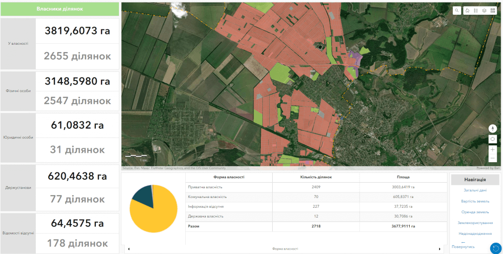
Risks become visible on the electronic map

  • “shadow” lease and cultivation without a registered right of use;
  • arbitrary occupation of land plots;
  • inappropriate use of land;
  • state and communal lands that are not used or do not bring income to the community;
  • objects for which you need to issue rights, clarify boundaries or update data.

Specialists form a list of identified problems and priorities so that the community can move from scattered information to consistent management actions.

Digital result

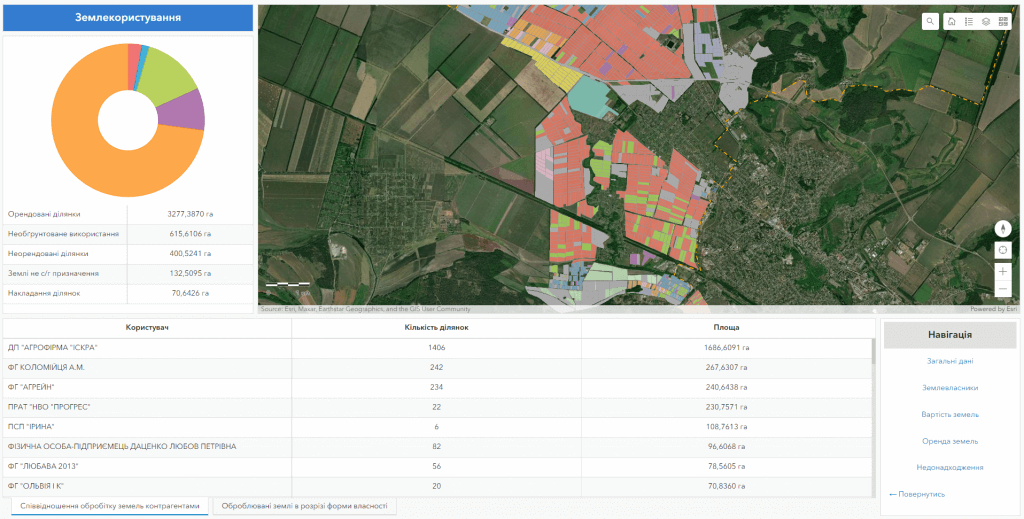
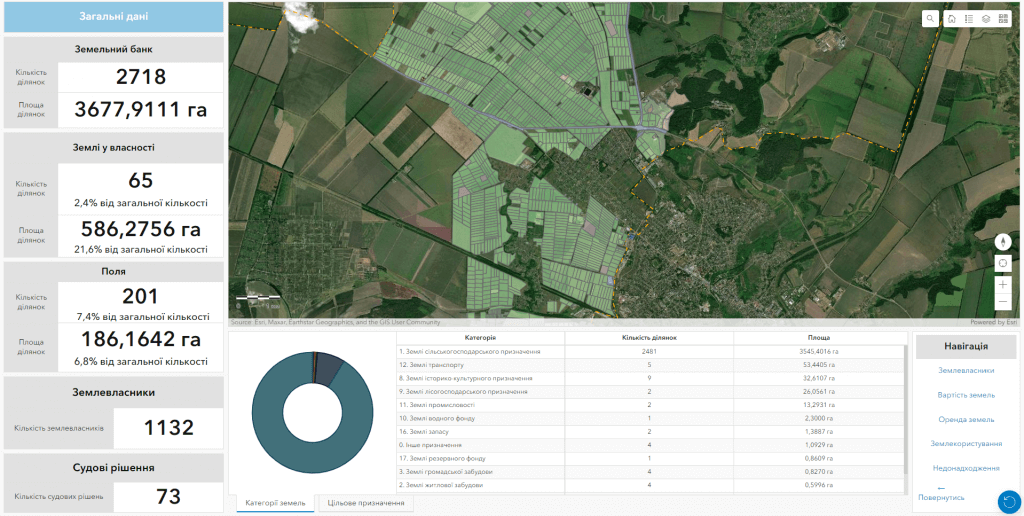
Geoinformation system and database of land resources

System capabilities

  • visualization of the actual land fund of the community;
  • combination of cadastral, register and urban planning data;
  • prompt updating of cartographic information;
  • analytical reports, references and copies;
  • analysis of the community land bank.

Composition of the database

  • boundaries of communities and settlements;
  • cadastral numbers, areas and purpose;
  • owners, tenants, contract terms and restrictions;
  • registered and discovered unregistered sites;
  • documents and other related information.

Cost and terms

We will prepare the scope of work for your community

Terms and cost depend on the area of the territory, the condition of the raw materials, the required composition of the database and the set of analytical works. After a short consultation, we will offer a clear implementation plan.