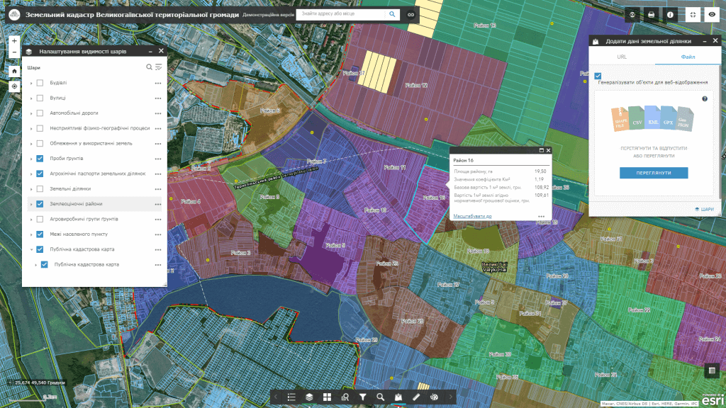
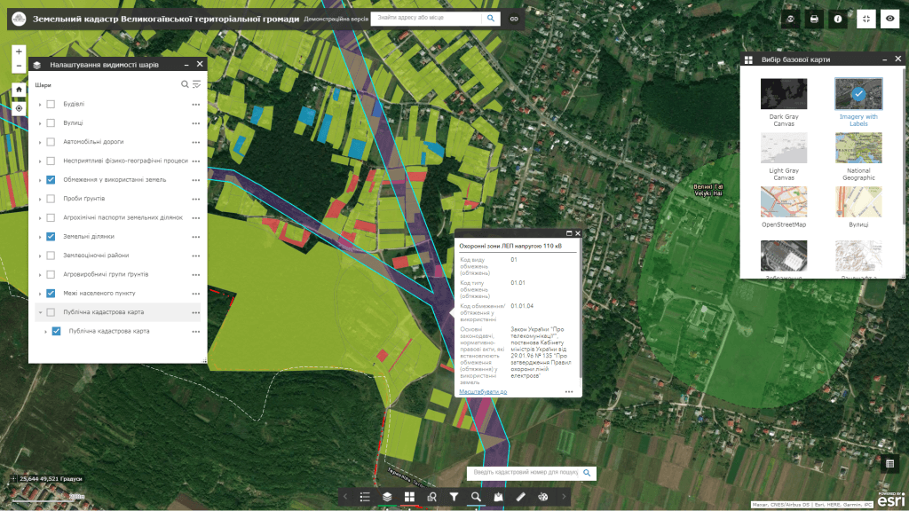
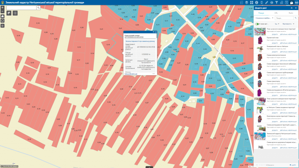
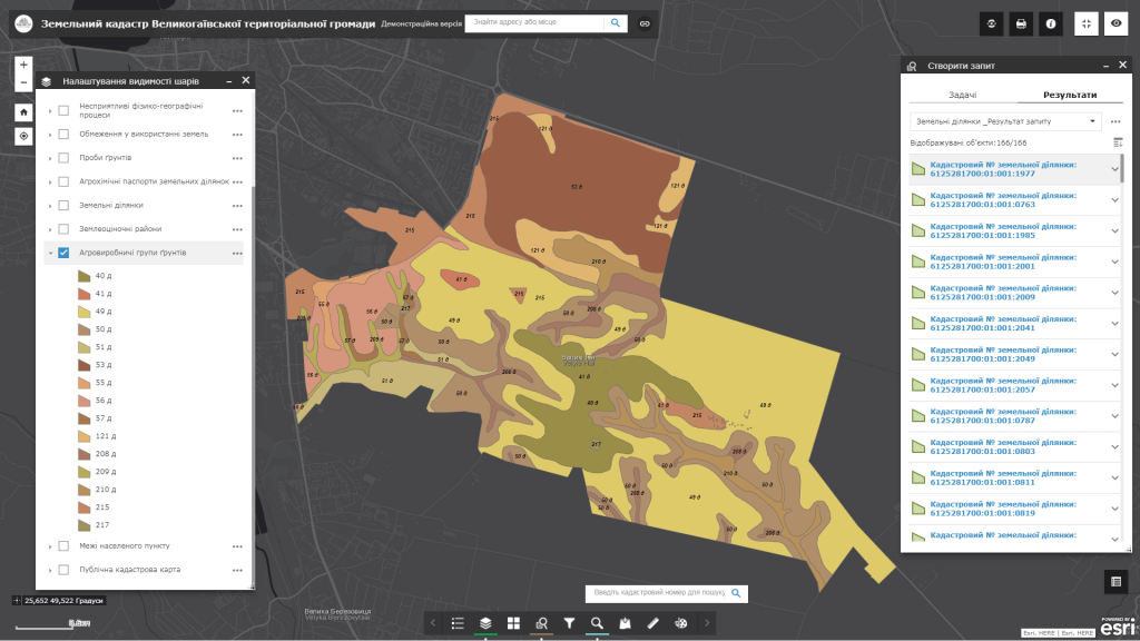
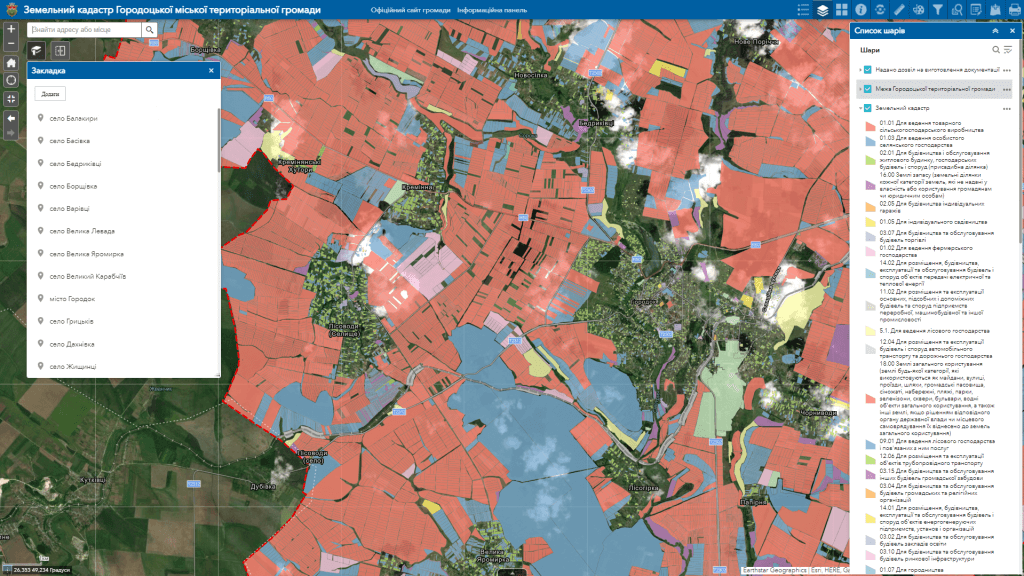
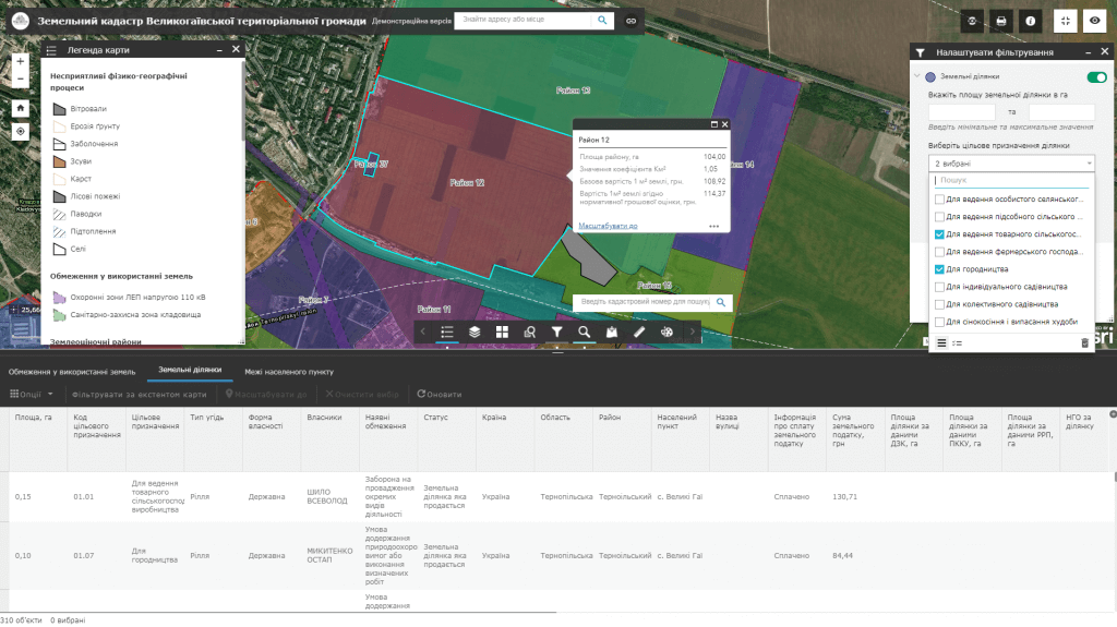
Despite the functioning of the electronic Public Cadastral Map since 2013of Ukraine, it never became a key tool for accounting for land resources of the territorial community due to limited access to the land cadastre database not only by ordinary citizens, but also by the main specialist in community land management – the land administrator. The realities of land accounting in a territorial community are such that practically no community has reliable information about its land fund. As a result, it is not possible to fully receive income from the payment of land tax, there are no favorable conditions for carrying out investment activities, inherent irrational use of the land fund, etc.
The geographic information system of community land resource management is being developed to meet the requirements of the following normative documents:
Resolution of the CMU “On approval of the Regulation on data sets to be made public in the form of open data” dated October 21, 2015 No. 835“…list of communal property objects List of communal property objects that have been leased or other right of use (with data on the conditions of leasing objects);
a list of unused land plots and property objects (premises) of communal ownership that can be transferred for use;
up-to-date lists of owners/tenants of local land plots.”