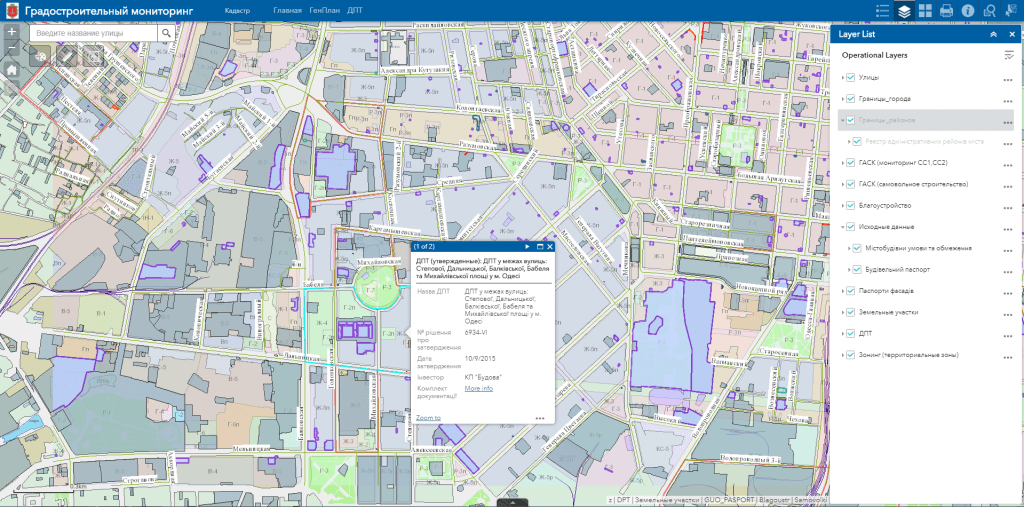
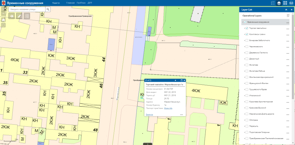
M1MT: Geoportal urban planning cadastre

M1MT: Geoportal urban planning cadastre – cartographic Internet resource, which serves as a single point of access to a large number of information data sources with a system of tools for viewing and searching geographic information, its visualization, download and distribution. The main feature of the geoportal is its focus on working with large amounts of data to create specialized industry and thematic solutions in the field of urban planning and land cadastre, for the operational management of the development of the territory, determining the location of investment sites, monitoring the performance of government bodies, etc.

Features of geoportal urban planning cadastre:

  • navigation on the map, data editing, operating with vector layers of the map, spatial analysis, address search;
  • to view the information, the user does not need specialized software and a cartographer qualification, a web browser and an Internet connection are sufficient;
  • easy search, quick update and edit the database;
  • constant readiness of the resource for work, including from a mobile device (smartphone, tablet);
  • protection of information from distortion and unauthorized access;
  • possibility of multi-user access and group editing of the database.
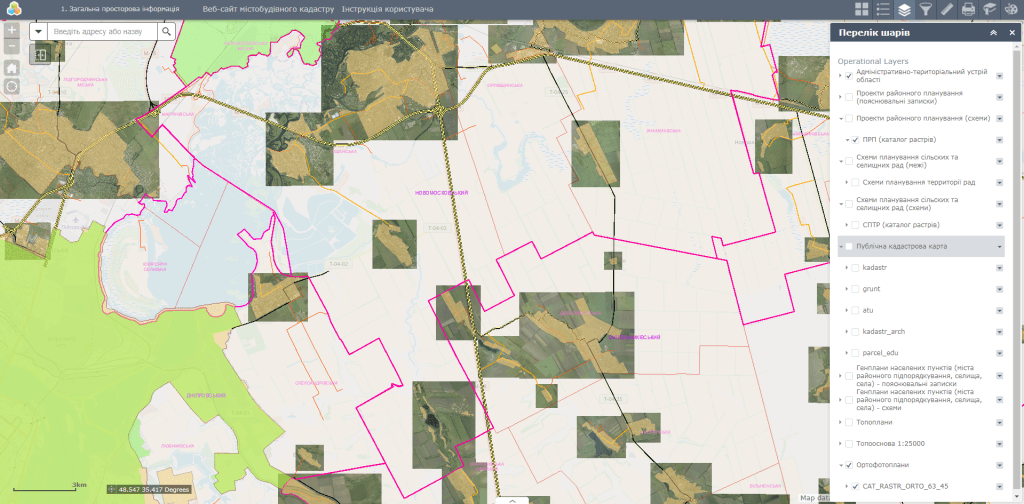
Геопортал містобудівного кадастру

Geoportal urban planning cadastre – the newest lever for forming transparent, barrier-free and comfortable territory management

  • ensure publicity in the management of urban planning, joint solution of the city problems, increasing living comfort of the population and improving the quality of the urban environment; 
  • provide citizens with access to information on the state of the environment, the real estate market, transportation and the provision of other information and reference and educational geo-information services;
  • perform automated information retrieval and detailed view of data about objects, including in the mode of combining with popular map resources (Google Maps, OpenStreetMap, BingMaps);
  • to automate the processes of maintaining the register of addresses, the address plan of the city, the register of streets and objects thanks to the subsystem of registration of addresses;
  • carry out centralized management and exchange of town planning documentation;
  • provide automation of maintaining registers of urban planning conditions and restrictions, construction passports, temporary structures, land acquisition projects;
  • provide operational access, administration and updating of planning and cartographic data (master plans of city, planning schemes for the region and districts, etc.), orthophotoplans, digital thematic maps.

Typical structure of Geoportal urban planning cadastre

  • databases of information resources of a single digital topographic basis (master plans, topographic plans, orthophotoplans, historical and architectural reference plans, etc.);
  • the registry subsystem addresses, streets and other named objects;
  • subsystem of urban planning monitoring (registration and image of town planning conditions and restrictions);;
  • subsystem registration of temporary structures for commercial, residential, socio-cultural and other purposes;
  • subsystem accounting and management of utilities, municipal property, advertising media and etc.
Інтерактивний генеральний план міста

Requirements, cost and timing of the order

The list of documents and materials for the creation of Geoportal urban planning cadastre is coordinated additionally. The cost of creating a product is calculated based on the number of parameters: software, the number of editors for the portal and entry points, thematic map layers, the extensiveness of the database, and the individual wishes of the customer. Dates for creating a geoportal are additionally agreed on the basis of the ordered functionality.

Services that precede the creation of a geoportal

  • Consulting
  • Scanning of paper documents and maps
  • Georeferencing of cartographic materials
  • Digitization
  • Provisioning of interactive map database
Коротка інформація

[contact-form-7 id=”10714″ title=”Форма партнерства”]


×