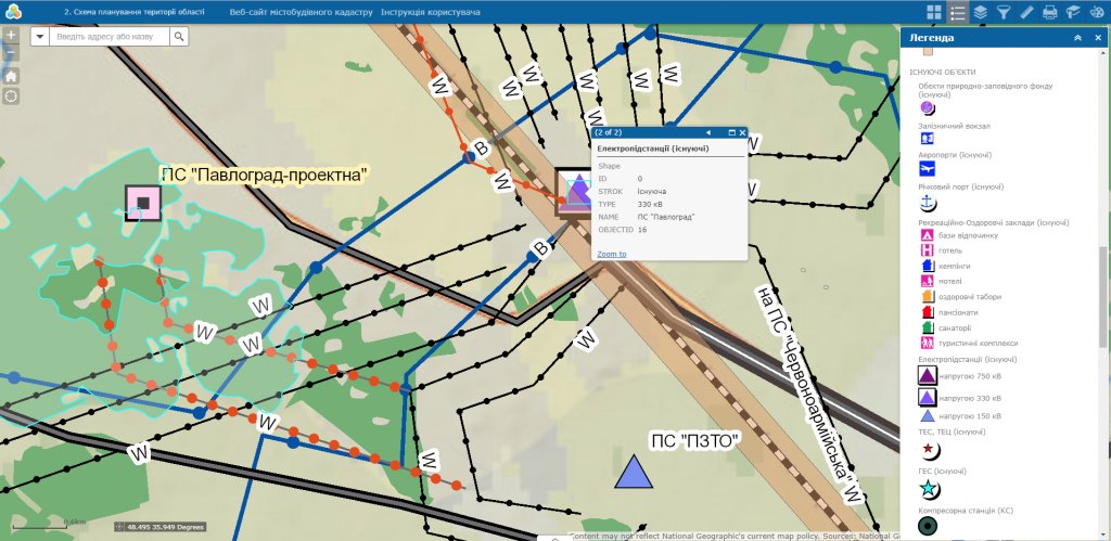
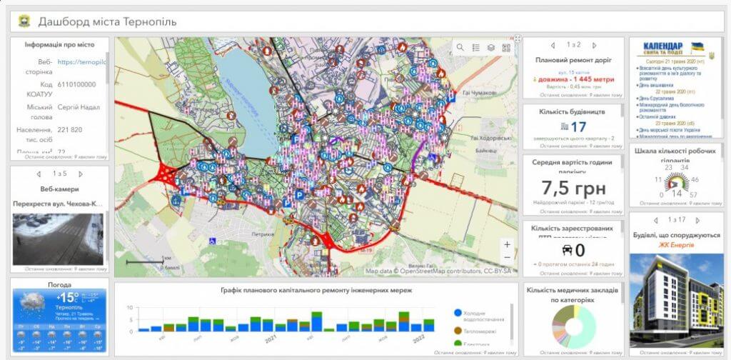
Geoinformation system of city management

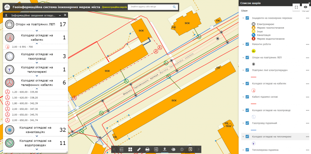
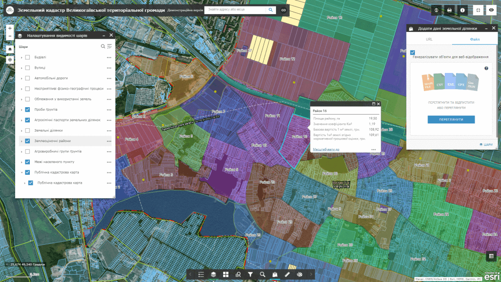
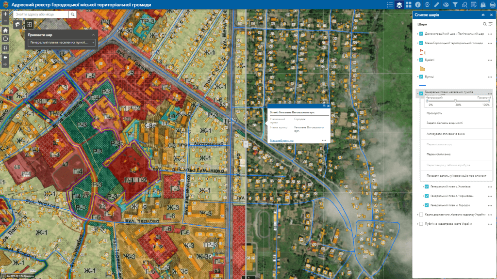
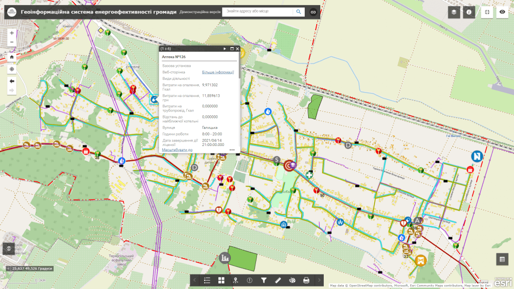
Geoinformation system of city management– an electronic cartographic information and analytical resource, the main task of which is to ensure purposeful and comfortable management of the city’s assets: land resources, engineering and transport, communal, social and tourist infrastructure, investment objects, ensures operational communication of citizens and community leadership. The resource acts as a single point of access to a large amount of information from all spheres of the city’s life, contains a system of data viewing and search tools, their visualization, download and distribution. The product is designed to provide state authorities, local governments, legal entities and individuals with reliable information necessary for making informed decisions.

The architecture of the system uses the principles of modularity, the unity of technologies and the presentation of spatial information by means of Internet technologies. Each module of the system can work separately from the others, which allows you to supplement the system step by step.

Data sourceto create a GIS of city management, there are data from the State Land Cadastre, the Public Cadastre Map of Ukraine, the Unified State Electronic System in the field of construction, the State Register of Real Property Rights, the Register of Encumbrances of Movable Property, the Register of Court Decisions, the State Register of Immovable Monuments of Ukraine, the State Water Cadastre of Ukraine, tax registers, etc. All data, according to their relevance, correspond to the terms of updating the official registers.
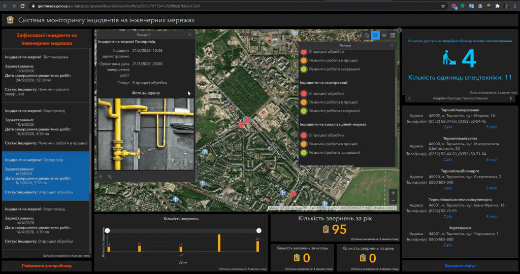
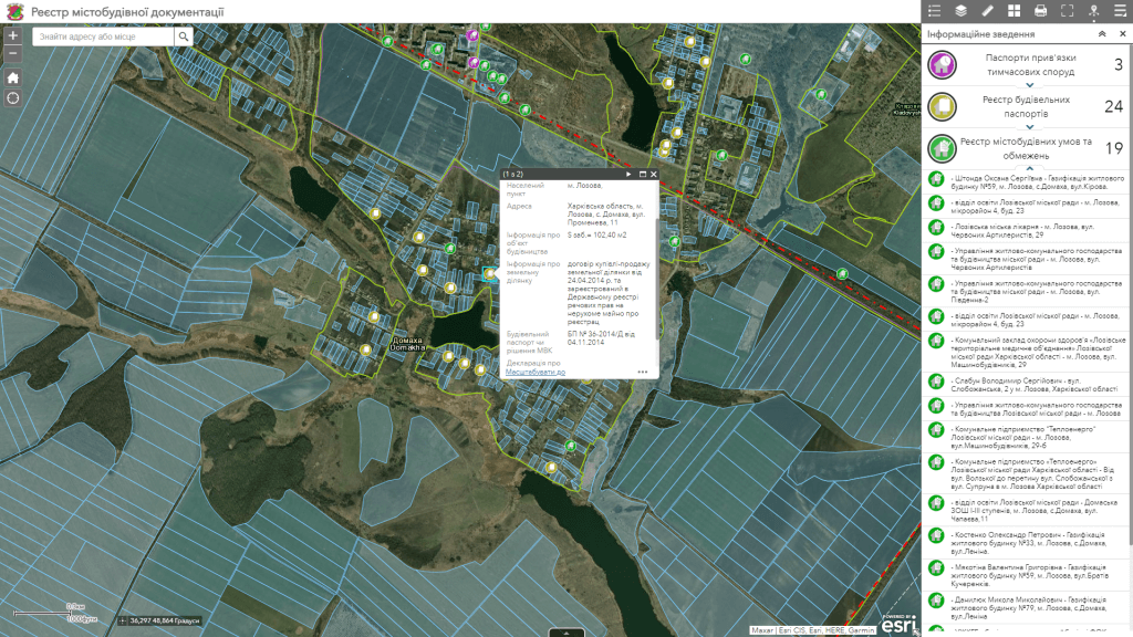
Advantages of implementing GIS of city management:

  • deployment of the system includes the supply of hardware and software, filling of databases, training of specialists to keep the system up to date, technical support of the system;
  • the software has an intuitive interface, the software is built on the basis of modern geo-information technologies;
  • the system interface includes a control panel for data sets, separate map resources, layers of spatial information, etc.;
  • system support does not require programming knowledge, there is no need to keep programmers in the customer’s headquarters;
  • building new system modules and connecting new users does not require additional software development;
  • information is stored on the server and in the database, therefore maximum security is achieved, including those data that have the nature of limited access;
  • regulated access to information resources thanks to the assignment of roles to system users (administrator, operator, editor).

Opportunities of the geoinformation system of city management:

  • get a tool to organize and interact with data using maps, graphs, charts, and other visual analytics that are dynamic;
  • form a unified information space of the city, which contains information about the territory, regulations regarding its use, real estate objects, transport, social, communal and engineering and other infrastructure;
  • get operational access, administration and updating of spatial data, orthophoto plans, digital and electronic maps of the city;
  • get automated search and viewing of data about objects, including in the mode of combining with popular cartographic resources (Google Maps, OpenStreetMap, Public cadastral map of Ukraine);
  • receive operational analytical and statistical information on traffic accidents, accident hotspots and other road hazards;
  • effectively manage various city services in real time.

Cost and terms of order fulfillment

MagneticOne Municipal Technologies provides a full range of services related to the creation of a geoinformation system, namely the supply, installation and configuration of hardware and software, the implementation of scanning and vectorization of paper schemes and the implementation of full-scale engineering and geodetic searches for filling the system with data, training specialists, technical support and support. Development terms are agreed upon additionally.

Services that precede the creation of GIS of city management

  • Консультування
  • Сканування паперових документів та карт
  • Просторова прив'язка картографічних матеріалів
  • Оцифрування
  • Наповнення бази даних ГІС