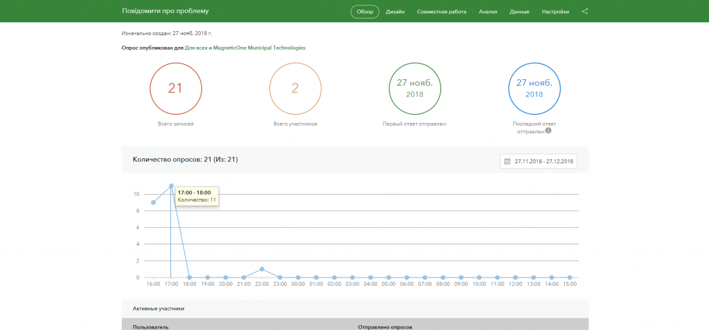
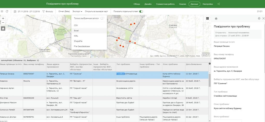
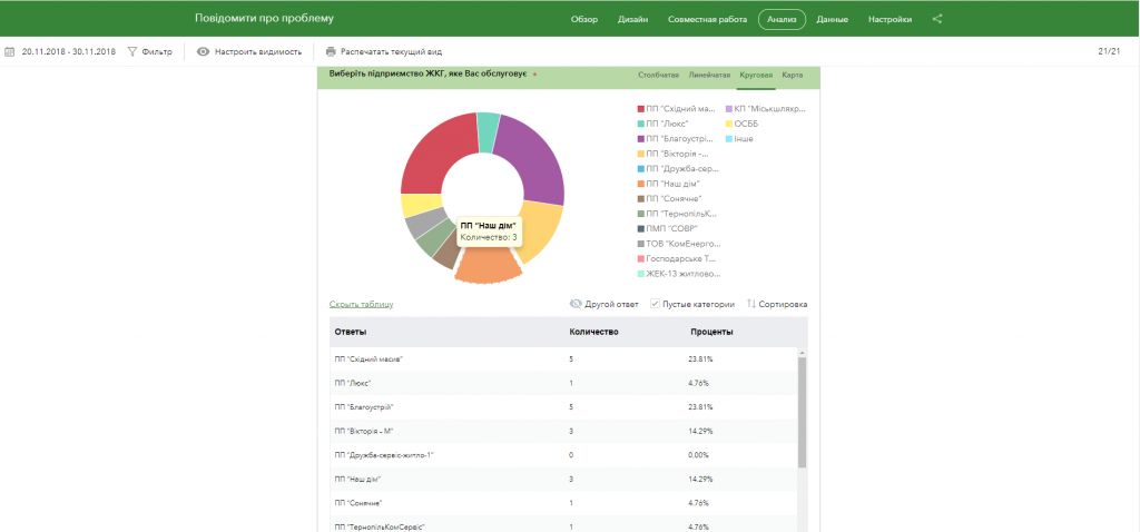
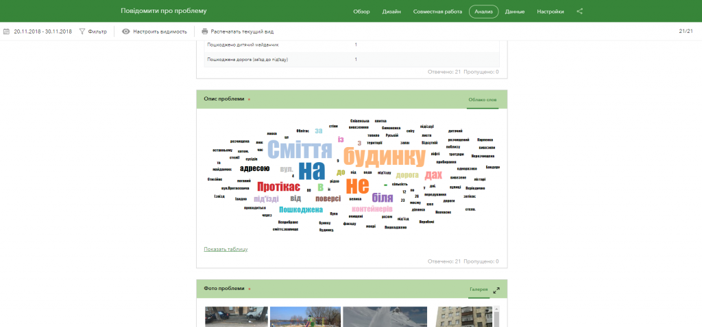
Geoinformation system of public organization support– a comprehensive solution for a public organization for operational management of property and production assets of state and communal enterprises, municipal operating services, as well as private enterprises working in the field of public services.The implementation of the geoinformation system is aimed at the information inventory of problem areas of the community or municipality (potholes on the roads, lack of pedestrian crossings and manholes of inspection wells, places of unauthorized storage of garbage and felling of trees, etc.). The system allows the public organization to control various spheres of community life in a convenient way.
Features of the platform:
- visualization of the actual state of property and production assets on an electronic map;
- operational access to materials of previously conducted audits and inspections of the urban environment, roads, etc.;
- ensuring the reliability and objectivity of the data obtained by carrying out inspections;
- the effect of presence and completeness of information perception during remote management of production and property assets;
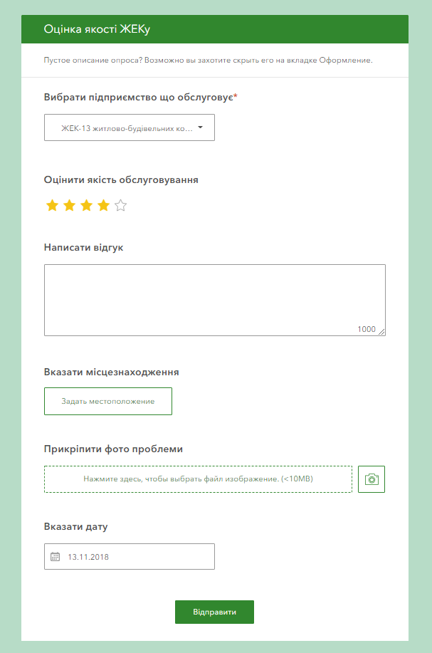
- the possibility, in addition to the audit text, to leave a photo report of the problem, to transfer the exact coordinates of the incident for processing, to assess the urgency of the solution;
- filtering auditors’ reports according to the direction of the problem (maintenance of the housing stock, maintenance of roads, sidewalks, streets, city lighting, traffic lights and traffic signs, green areas and city plantings, etc.), the urgency of its solution;
- monitoring and prompt response to incidents, the ability to process large volumes of requests, collect data on problems and monitor their resolution.