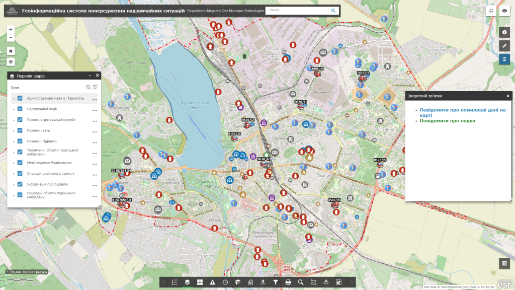
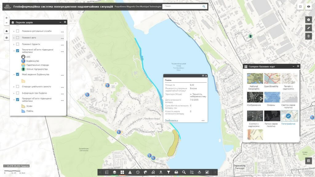
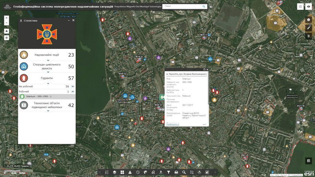
M1MT: Emergency prevention geoinformation system is a specialized cartographic and analytical resource, developed for collecting, saving, storing, analyzing and displaying information in the field of fire and technological safety, civil protection, in order to the readiness of the relevant infrastructure to overcome potential consequences of emergency situations. Use this modern solution to promptly respond to emergencies, clearly allocate resources of subordinate divisions, monitor and control the state of fire-fighting, special and other equipment, fire-fighting technical and rescue equipment.
Features of GIS:
- the fullest possible set of functions: map navigation, data editing, vector map layers management, spatial analysis, address search, routing;
- ease of search (including generic and parameter search), quick update and editing of the database;
- a wide range of analytical features (displaying information in graphical form, spatial and statistical analysis);
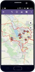
- constant operational readiness also via smartphone;
- protection of information from distortion and unauthorized access;
- availability of multi-user access mode and group database editing;
- registering and keeping the history of incidents, recording fire equipment inspection results (photo fixation of non-compliance with the requirements of fire safety at enterprises, the integrity of fire hydrants, etc.).


