
Customer reviews
Experience confirmed by our customers
Customer reviews of completed GIS projects
The company has delivered more than 300 projects, ranging from national and regional initiatives to territorial communities and individual organisations. This page brings together customer reviews, cooperation results, letters and videos that demonstrate the team’s expertise and the reliability of the implemented solutions.
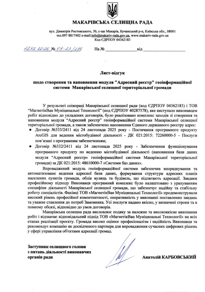
Geoinformation system of the Makariv territorial community
Customer: Makarivsk settlement council
Implementation date: November 2025
Results:
Within the implementation of contracts No. 333/2411 and No. 332/2411 dated November 24, 2025, MagneticOne Municipal Technologies to orderMakarov settlement councila set of measures was implemented to create and fill in the “Address Register” module of the geo-information system of the Makariv settlement territorial community, as well as ensuring the filling of the Unified State Register of Addresses.
Thanks to the integrated approach, tools were implemented for the automated maintenance of the address database, the formation of the structure of address plans, as well as the accounting of streets and buildings. Community specialists noted the high competence and efficiency of the MagneticOne Municipal Technologies team, which ensured the supply of the ESRI ArcGIS Enterprise software product for urban planning activities. All services were provided with high quality, in full and on time, in accordance with the terms of the contracts.
Geoinformation system of the Yaremchan territorial community
Customer: Yaremchan City Council
Implementation date: October 2025
Results:
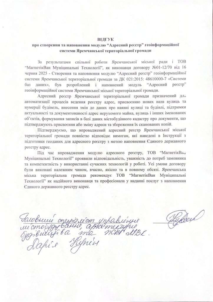
MagneticOne Municipal Technologies, by order of the Sinyukhina-Brida settlement council (agreement No. 01-12/70 dated June 16, 2025), implemented a project to create and fill in the “Address register” module as part of the geoinformation system of the Yaremchan territorial community.
The new address register automates the processes of maintaining the address plan of the community’s settlements, registers of streets, buildings and structures, as well as documents confirming the fact of assigning addresses. This makes it possible to increase the accuracy and convenience of managing address information at the local level.
The created register fully meets the requirements of the Instructions for preparing geodata for the address register with the aim of further filling the Unified State Register of Addresses and the Register of Buildings and Structures, approved by the Ministry of Digital Transformation of Ukraine.
Geoinformation system of Staraushytsk Territorial Community
Customer: Staroushytsk settlement council
Implementation date: February 2023
Results:
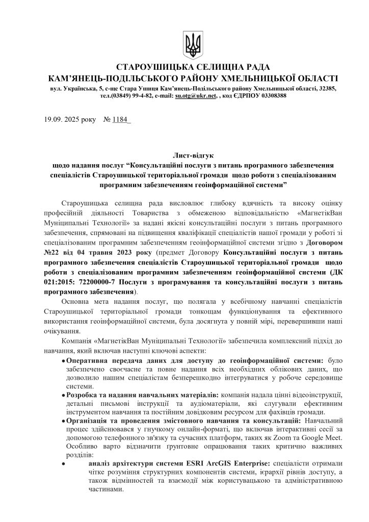
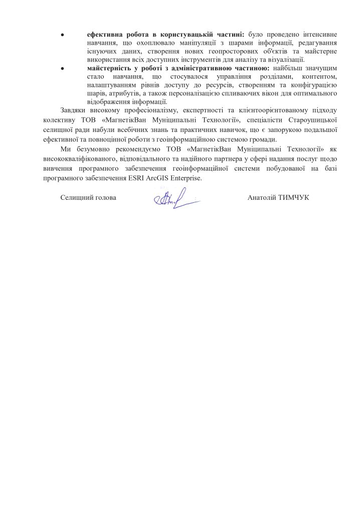
As part of the implementation of contract No. 22 dated May 4, 2023, MagneticOne Municipal Technologies LLC was commissioned by the Staroushytsk Settlement Council to conduct training on working with a geoinformation system.
Thanks to comprehensive training in the format of online sessions, community specialists gained in-depth knowledge of working in the user and administrative part of the ESRI ArcGIS Enterprise system, as well as practical skills in data analysis, editing and management. The high professionalism and client-oriented approach of the company, which has proven itself as a reliable and qualified partner, was noted.
Geoinformation system of the Sataniv territorial community
Customer: Satanivska settlement council
Implementation date: May 2025
Results:
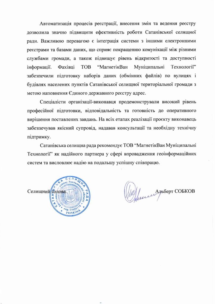
As part of the implementation of contract No. 98 dated July 1, 2024, LLC “MagneticOne Municipal Technologies” commissioned by the Satanivsk settlement council completed the creation and filling of the “Address register” module as part of the territorial community’s geoinformation system.
The new module is designed for automated accounting of the addresses of infrastructure objects of the community’s settlements, including streets, buildings and accompanying documentation that confirms the provision or change of addresses. This approach ensures more accurate data management, simplifies administrative processes and promotes effective management of the urban environment.
Geoinformation system of Khrystynivska territorial community
Customer: Khrystynivska City Council
Implementation date: December 2024
Results:
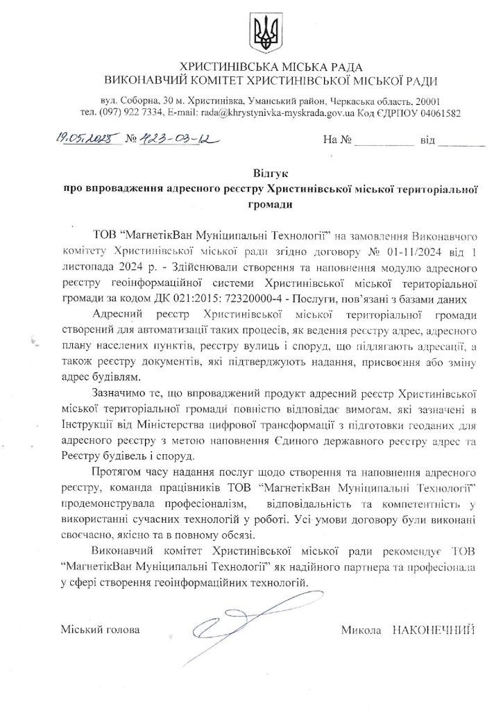
“MagneticOne Municipal Technologies” LLC, commissioned by Khrystynivska City Council, in accordance with contract No. 01-11 dated November 4, 2024, implemented a project to create and fill the “Address Register” module as part of the geoinformation system of Khrystynivska Territorial Community.
The newly created address register is intended to automate the maintenance of address registers of community settlements, streets and buildings, as well as documents confirming the provision and assignment of addresses. This innovative solution will simplify administrative procedures, ensure the accuracy of address data and improve the management of city infrastructure.
The system fully meets the requirements of the Instructions for preparing geodata for the address register, approved by the Ministry of Digital Transformation of Ukraine. Its implementation is the next step of the Khrystynivska community on the way to digital transformation and improving the quality of municipal services.
Geoinformation system of the Ivankiv Territorial Community
Customer: Ivankiv settlement council
Implementation date: April 2024
Results:
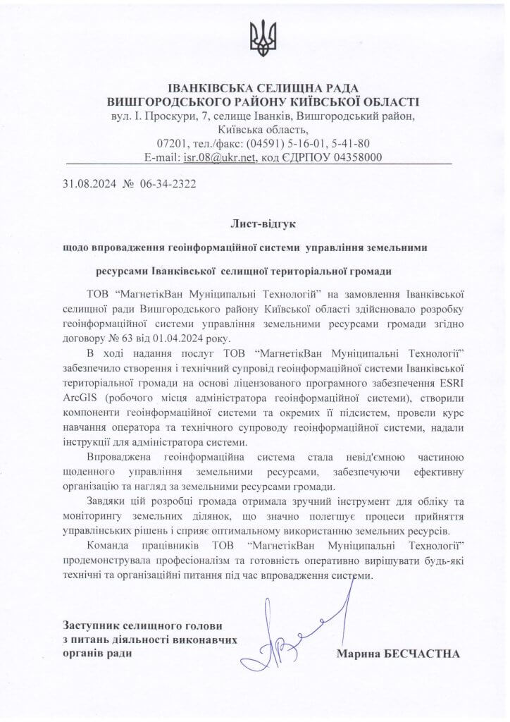
In the course of providing services, MagneticOne Municipal Technologies provided the creation and technical support of the geoinformation system of the Ivankiv Territorial Community based on the licensed ESRI ArcGIS software (geographic information system administrator’s workplace), created the components of the geoinformation system and its separate subsystems, conducted a training course for the operator and technical support of the geoinformation system, and provided instructions for the system administrator.
The implemented geoinformation system has become an integral part of the daily management of land resources, ensuring effective organization and supervision of the community’s land resources.
Thanks to this development, the community received a convenient tool for accounting and monitoring of land plots, which greatly facilitates the processes of making management decisions and contributes to the optimal use of land resources.
Geoinformation system of the Sinyukhinobryd territorial community
Customer: Sinyukhino-Bridsk settlement council
Implementation date: March 2024
Results:
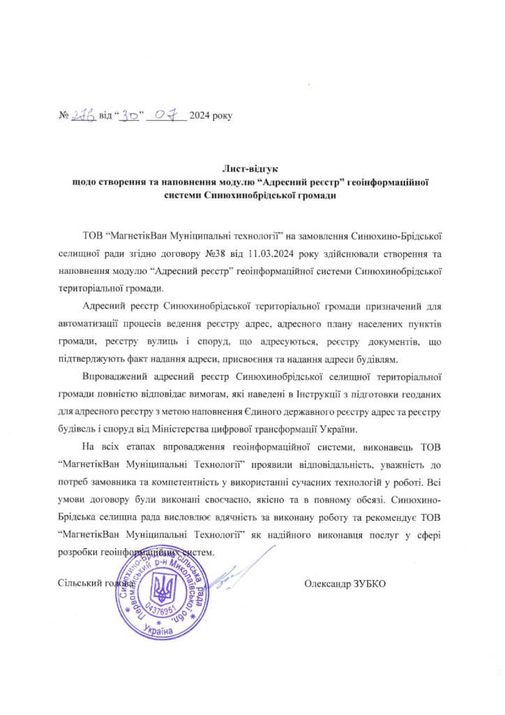
“MagneticOne Municipal Technologies” LLC, by order of the Synyukhino-Brida settlement council in accordance with contract No. 38 dated 03.11.2024, created and filled the “Address register” module of the geoinformation system of the Synyukhinobrida territorial community.
Address registerof the Sinyukhinobryd Territorial Community is designed to automate the processes of maintaining the register of addresses, the address plan of settlements in the community, the register of streets and structures addressed, the register of documents confirming the fact of providing an address, assigning and providing addresses to buildings.
The implemented address register of the Sinyukhinobryd settlement territorial community fully meets the requirements specified in the Instructions for the preparation of geodata for the address register for the purpose of filling the Unified State Register of Addresses and the Register of Buildings and Structures from the Ministry of Digital Transformation of Ukraine.
Geoinformation system “Interactive map of the nature reserve fund of Ternopil region”
Customer: Department of Ecology and Natural Resources of TODA
Implementation date: December 2023
Results:
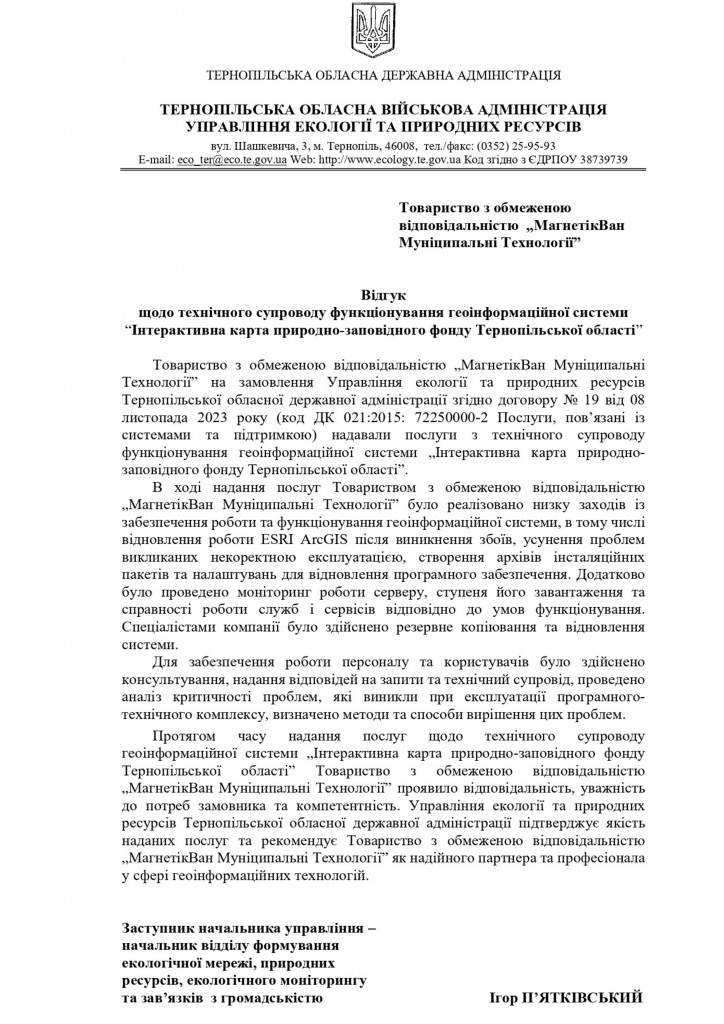
During the provision of MagneticOne Municipal Technologies services, a number of measures were implemented to ensure the operation and functioning of the geoinformation system, including the restoration of ESRI ArcGIS after failures, elimination of problems caused by incorrect operation, creation of archives of installation packages and settings for software recovery.
In addition, the server was monitored, its loading rate and the serviceability of the services in accordance with the operating conditions. The company’s specialists performed backup and system recovery.
MagneticOne Municipal Technologies showed responsibility, attentiveness to the needs of the customer and competence during the time of providing services related to the technical support of the geo-information system “Interactive map of the nature-friendly fund of the Ternopil region”.
The Department of Ecology and Natural Resources of the Ternopil Regional State Administration confirms the quality of the services provided and recommends MagneticOne Municipal Technologies as a reliable partner and professional in the field of geo-information technologies.
Geoportal “Flooding zones for the Uzh river basin and risk zones for the city of Uzhhorod”
Customer: State Agency of Water Resources of Ukraine
Implementation date: January 2024
Results:
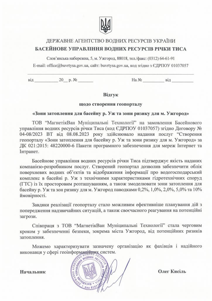
The basin management of water resources of the Tisza River confirms the quality of the services provided by the developer company. The created geoportal made it possible to provide accounting of surface water bodies and display information about the water management complex of the Uzh River with technical characteristics of hydrotechnical structures (HTS) with their spatial location, as well as to simulate flooding zones for the Uzh River basin and risk zones for the city of Uzhhorod with floods of 0.2%, 1.0%, 2.0%, 5.0% and 10% probability.
Thanks to the implementation of the geoportal, it became possible to more effectively plan actions to prevent emergency situations, as well as timely response to potential threats.
Cooperation with MagneticOne Municipal Technologies became the next step in ensuring safety, in particular the city of Uzhgorod, from potential flooding risks.
Geoinformation system of the Kamianets-Podilskyi territorial community
Customer: Kamianets-Podilskyi City Council.
Implementation date: December 2023
Results:
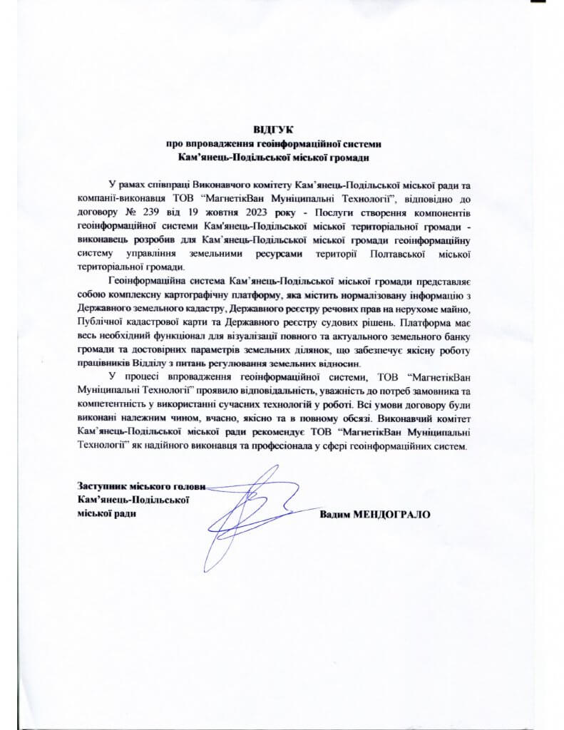
The geoinformation system of the Kamianets-Podilskyi city community is a complex cartographic platform that contains normalized information from the State Land Cadastre, the State Register of Real Property Rights, the Public Cadastral Map, and the State Register of Court Decisions. The platform has all the necessary functionality to visualize a complete and up-to-date land bank of the community and reliable parameters of land plots, which ensures the high-quality work of employees of the Department for the Regulation of Land Relations.
In the process of implementing the geoinformation system, MagneticOne Municipal Technologies showed responsibility, attentiveness to the customer’s needs and competence in using modern technologies in work. All terms of the contract were fulfilled properly, on time, qualitatively and in full. The Executive Committee of the Kamianets-Podilskyi City Council recommends MagneticOne Municipal Technologies as a reliable performer and professional in the field of geographic information systems.
Geoinformation system of Chortkiv territorial community
Customer:Chortkiv city council
Implementation date: September 2023
Results:
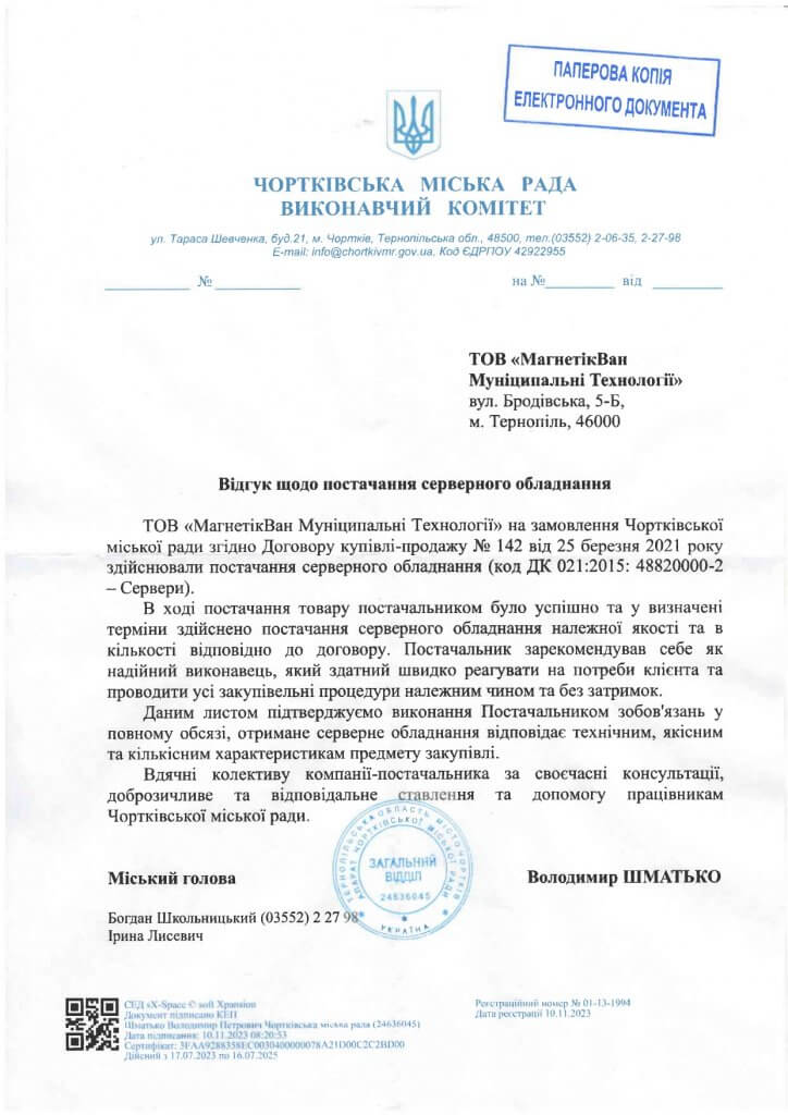
MagneticOne Municipal Technologies, by order of the Chortkiv City Council, in accordance with the Purchase and Sale Agreement No. 142 dated March 25, 2021, supplied server equipment (DK code 021:2015: 48820000-2 – Servers).
During the delivery of the goods, the supplier successfully delivered server equipment of the appropriate quality and quantity in accordance with the contract within the specified time. The supplier has proven himself as a reliable performer who is able to respond quickly to the client’s needs and carry out yci procurement procedures properly and without delays.
The services provided by the contractor meet all the requirements set out in the technical task and contain all the necessary functions to optimize the work of the department’s specialists.
Considering the above, all terms of the contract were fulfilled properly, on time, qualitatively and in full. In the process of joint work, MagneticOne Municipal Technologies employees demonstrated deep competence in the field of geoinformation technologies and high professionalism.
Geoinformation system of the Korosten territorial community
Customer: Korosten village council
Implementation date: October 2023
Results:
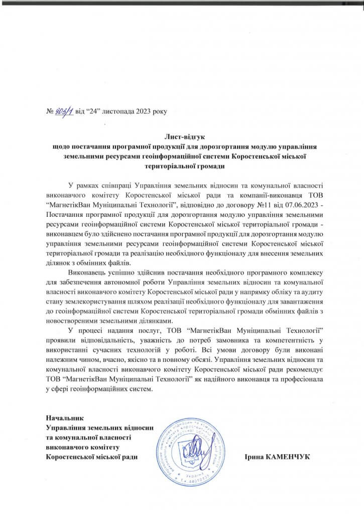
As part of the cooperation of the Department of Land Relations and Communal Property, the Executive Committee of the Korosten City Council andof the executing company MagneticOne Municipal Technologies, in accordance with contract No. 12 dated 06/07/2023 – “Services for updating the geo-information system of the land cadastre of the Korosten urban territorial community” – the contractor updated the geo-information system of the land cadastre of the Korosten urban territorial community.
The contractor ensured high-quality updating and uploading of the database of land plots from the state registers into the geodatabase format of the geoinformation system of the Korosten Territorial Community built on the basis of the licensed software of the ESRI ArcGIS geoinformation system. In addition, a subsystem for monitoring the state of land use was implemented as a consolidated information panel – a dashboard, which provides the Management with high-quality infographics about the state of land use in the community.
Geoinformation system of Baikovets territorial community
Customer:Baykovets village council
Implementation date: January 2022
Results:
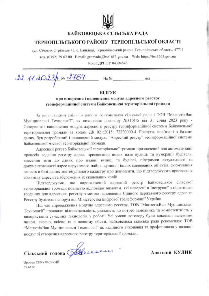
The address register of the Baikovets territorial community is designed to automate the processes of maintaining the register of addresses, assigning new street names and building numbers, making changes to data on existing streets and buildings, maintaining the relevance and documentation of addresses of real estate, streets and other named objects, creating records in the urban planning cadastre database of documents confirming the assignment or change of address and saving their scanned copies.
During the implementation of the address register module, MagneticOne Municipal Technologies showed responsibility, attentiveness to the customer’s needs and competence in using modern technologies in their work. All terms of the contract were fulfilled properly, on time, qualitatively and in full. The Baikovets village council recommends MagneticOne Municipal Technologies as a reliable executor and professional in providing services for creating the address register of the territorial community.
Geoinformation system of the Mamalygiv territorial community
Customer: Mamalygiv village council
Implementation date: March 2023
Results:
Within the specified period, MagneticOne Municipal Technologies (hereinafter referred to as the Supplier) delivered the corresponding software ArcGIS Enterprise Standard Up to Four Cores Perpetual License and ArcGIS Enterprise Creator Perpetual License in accordance with the Customer’s requirements and in accordance with the specification. The supplier has proven himself as a reliable performer who is able to respond quickly to the needs of the Customer and conduct yci procurement procedures properly and without delays.
With this letter, we confirm that all the terms of the contract have been fulfilled properly, on time, qualitatively and in full, the received software fully meets the technical and quality characteristics.
Geoinformation system of Tribukhiv territorial community
Customer:Trybukhiv village council
Implementation date: April 2023
Results:
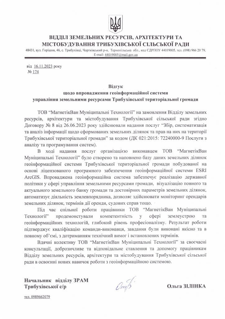
During the provision of services by the organization, the performer MagneticOne Municipal Technologies created and filled a database of land plots of the geoinformation system of the Tribukhiv Territorial Community built on the basis of the licensed software of the geoinformation system ESRI ArcGIS. The implemented geoinformation system ensures the implementation of state policy in the field of community land resource management, visualization of the community’s complete and up-to-date land bank and reliable parameters of land plots, automates the activities of the land manager, allows monitoring of land plot tenants, lease terms, court cases, etc.
We are grateful to the MagneticOne Municipal Technologies team for timely consultations, friendly and responsible attitude and assistance to the employees of the Department of Land Resources, Architecture and Urban Planning of the Trybukhiv Village Council in mastering new skills for working with the geoinformation system.
Geoinformation system of the Mamalygiv territorial community
Customer: Mamalygiv village council
Implementation date: March 2023
Results:
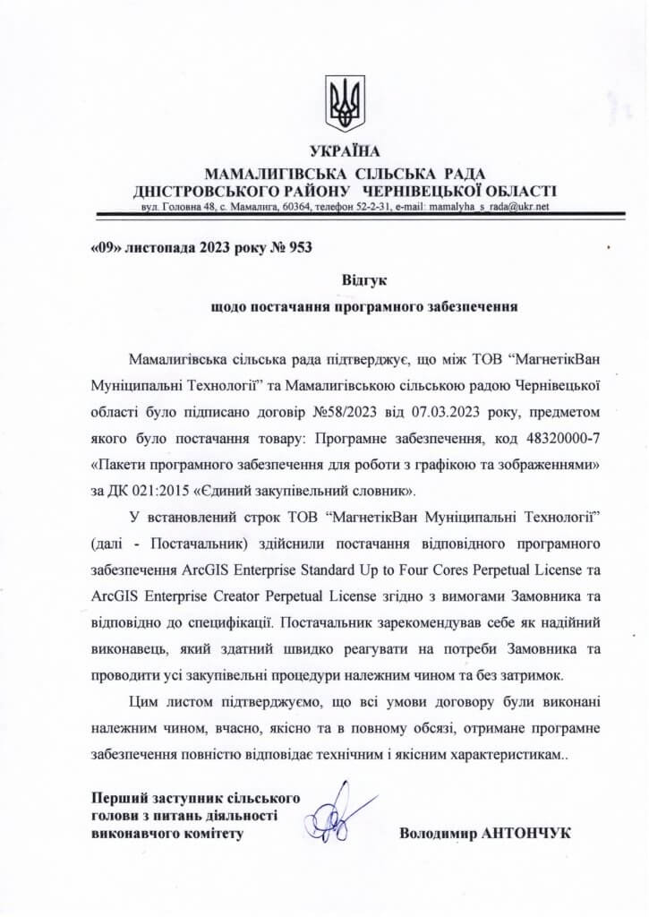
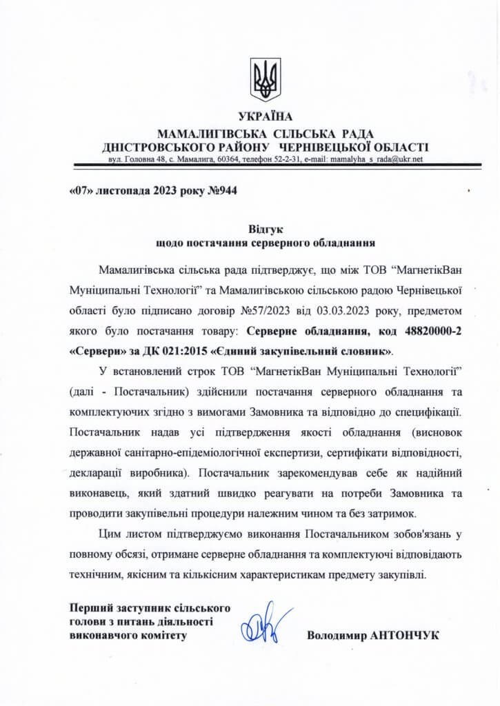
The Mamalygiv Village Council confirms that MagneticOne Municipal Technologies and the Mamalygiv Village Council of the Chernivtsi region signed contract No. 58/2023 dated March 7, 2023, the subject of which was the supply of goods:Software, code 48320000-7 “Software packages for working with graphics and images” according to DC 021:2015 “Unified procurement dictionary”.
Within the specified period, MagneticOne Municipal Technologies (hereinafter referred to as the Supplier) delivered the corresponding software ArcGIS Enterprise Standard Up to Four Cores Perpetual License and ArcGIS Enterprise Creator Perpetual License in accordance with the Customer’s requirements and in accordance with the specification. The supplier has proven himself as a reliable performer who is able to respond quickly to the needs of the Customer and conduct yci procurement procedures properly and without delays.

Geoinformation system of the Zolochiv territorial community
Customer:Zolochiv city council
Implementation date: July 2023
Results:
The geoinformation management system of land resources management is a complex cartographic platform that contains normalized information from the State Land Cadastre, the State Register of Real Property Rights, the Public Cadastral Map, and the State Register of Court Decisions. The platform has all the necessary functionality to visualize a complete and up-to-date land bank of the community and reliable parameters of land plots, which ensures the high-quality work of employees of the land relations department.
It is worth noting that, during the creation of the above-mentioned geographic information system, the performer implemented the necessary for workland departmentfunctional, namely, entering information about land plots into the geoinformation system by uploading exchange files, which greatly simplified the accounting of the state of land use in the community and significantly optimized the work of employees.
Geoinformation system of the Korosten territorial community
Client: Executive Committee of the Korosten City Council, Department of Architecture and Urban Planning
Implementation date: September 2023
Results:
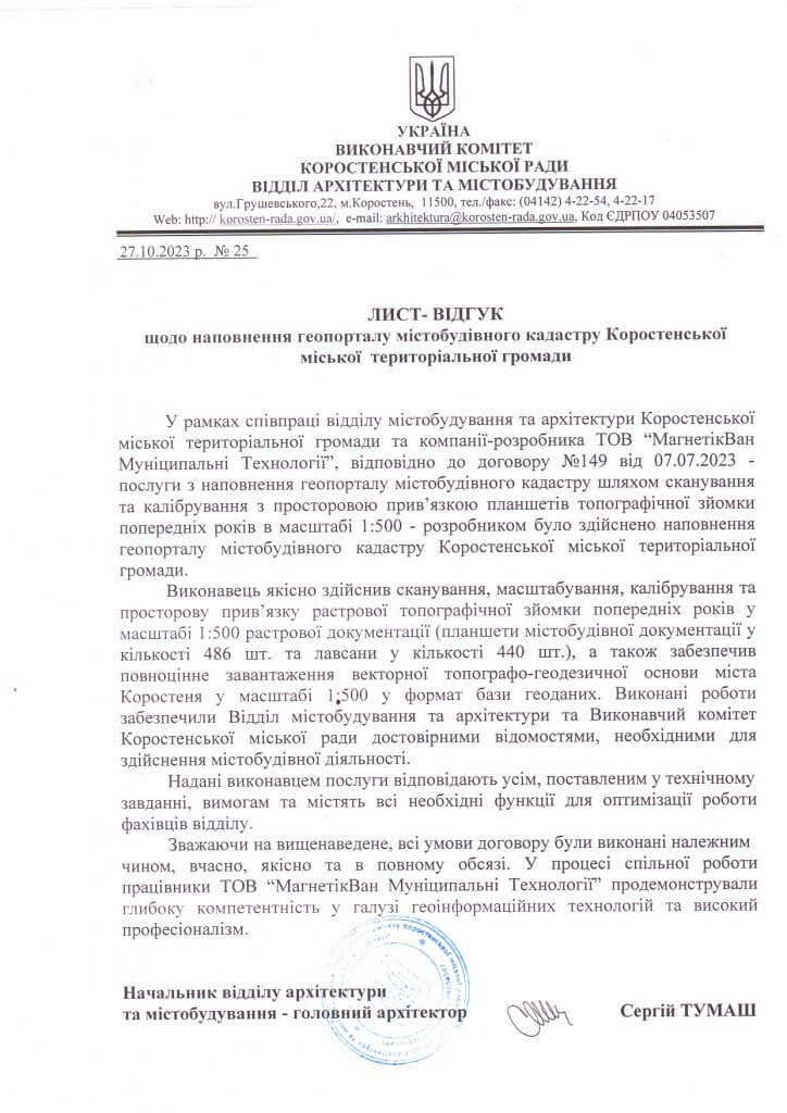
MagneticOne Municipal Technologies specialists qualitatively carried out scanning, scaling, calibration and spatial reference of the raster topographic survey of previous years on a scale of 1:500 of raster documentation (tablets of urban planning documentation in the amount of 486 pcs. and mylars in the amount of 440 pcs.), and also provided a full download of the vector topographic and geodetic base of the city of Korostenya in a scale of 1:500 into the base format geodata The completed works provided the Department of Urban Planning and Architecture and the Executive Committee of the Korosten City Council with reliable information necessary for the implementation of urban planning activities.
The services provided by the contractor meet all the requirements set out in the technical task and contain all the necessary functions to optimize the work of the Department’s specialists.
Geoinformation system of the Toporiv territorial community
Customer:Toporivska village council
Implementation date: July 2023
Results:
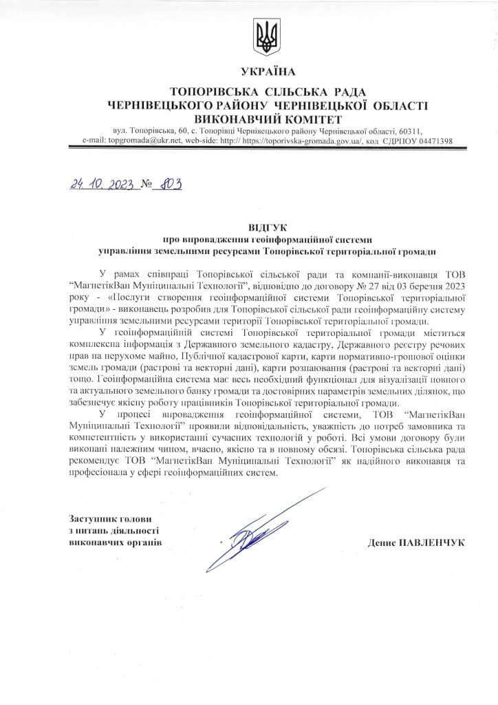
The geoinformation system of the Toporiv Territorial Community contains complex information from the State Land Cadastre, the State Register of Property Rights to immovable property, the Public Cadastre Map, the regulatory monetary assessment map of the community’s lands (raster and vector data), the de-soldering map (raster and vector data), etc. The geoinformation system has all the necessary functionality to visualize a complete and up-to-date land bank of the community and reliable parameters of land plots, which ensures the high-quality work of employees of the Toporiv territorial community.
In the process of implementing a geoinformation system, MagneticOne Municipal Technologies showed responsibility, attention to customer needs and competence in using modern technologies in work.
Geoinformation system of the Antonina territorial community
Customer: Antonina Township Council
Implementation date: September 2023
Results:
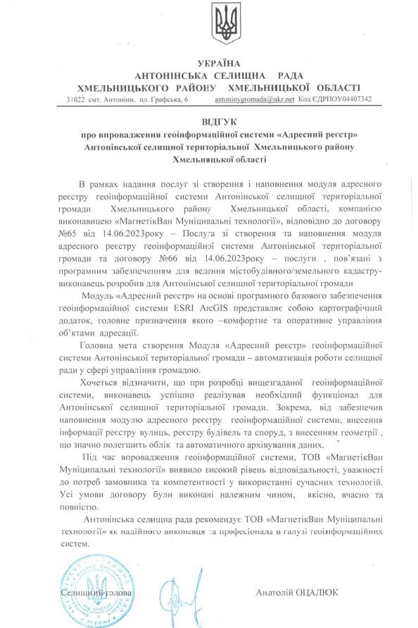
The main goal of creating the “Address Register” module of the geoinformation system of the Antonina territorial community is to automate the work of the village council in the area of community management.
The “Address Register” module based on the basic software of the ESRI ArcGIS geoinformation system is a cartographic application, the main purpose of which is comfortable and efficient management of address objects.
It should be noted that during the development of the above-mentioned geoinformation system, the contractor successfully implemented the necessary functionality for the Antonina settlement territorial community. In particular, he ensured the filling of the address register module of the geoinformation system, the entry of street register information, the register of buildings and structures, with the entry of geometry, which will greatly facilitate accounting and automatic archiving of data.
During the implementation of the geoinformation system, MagneticOne Municipal Technologies demonstrated a high level of responsibility, attentiveness to the needs of the customer and competence in the use of modern technologies. All terms of the contract were fulfilled properly, qualitatively, on time and in full.
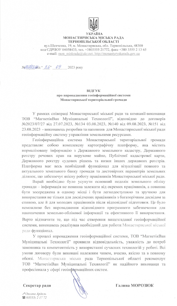
Geoinformation system of the Monastyris urban territorial community
Customer:Monastyris City Council
Implementation date: August 2023
Results:
The geoinformation system of the Monstyris territorial community is a complex cartographic platform that contains normalized information from the State Land Cadastre, the State Register of Real Property Rights, the Public Cadastral Map, the State Register of Court Decisions and a number of other state registers. The platform has all the necessary functionality to visualize a complete and up-to-date land bank of the community and reliable parameters of land plots, which ensures the high-quality work of the employees of the Monstyry City Council.
It was extremely necessary to eliminate the main shortcoming of the community’s land registration – the information should not depend on individual employees, but should be concentrated in one place and be easily accessible and convenient for use not only by experienced employees with many years of experience behind them, but also by young employees after appropriate training. This would not be possible without the implementation of appropriate software for the accumulation of land accounting information and its effective use.
It is worth noting that during the creation of the above-mentioned geoinformation system, the contractor implemented the functionality necessary for the work of the Monstyris City Council.
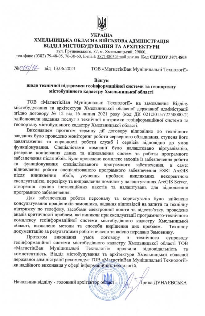
Geoportal of the urban cadastre of Khmelnytskyi region
Client: Department of Urban Planning and Architecture of Khmelnytskyi State Administration
Implementation date: June 2023
Results:
During the term of the contract, in accordance with the technical task, the contractor monitored the operation of the server equipment, the degree of its loading and the serviceability of the services in accordance with the operating conditions. The company’s specialists set up virtualization, data backup, and system and software recovery after failures. A set of measures was taken to ensure the operation and functioning of the specialized software, namely: restoration of the operation of the specialized Esri ArcGIS software after failures, elimination of problems caused by incorrect operation, checking and correction of errors in ArcGIS Server settings, creation of archives of installation packages and settings for software recovery.
MagneticOne Municipal Technologies showed responsibility and competence during the fulfillment of the terms of the contract for technical support of the geo-information system of the urban planning cadastre of the Khmelnytskyi region. The Department of Urban Planning and Architecture of the Khmelnytskyi Regional State Administration recommends MagneticOne Municipal Technologies as a reliable performer in the field of information technologies.
Geoinformation system of the Koropets territorial community
Customer:Koropetsk settlement council
Implementation date: May 2023
Results:
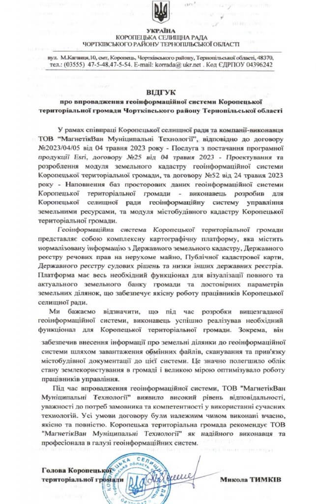
The geoinformation system of the Koropets territorial community is a complex cartographic platform that contains normalized information from the State Land Cadastre, the State Register of Real Property Rights, the Public Cadastre, the State Register of Court Decisions and a number of other state registers. The platform has all the necessary functionality for visualizing the complete and up-to-date land bank of the community and the actual parameters of the land plots, which ensures the high-quality work of the employees of the Koropetsk settlement council.
During the implementation of the geoinformation system, MagneticOne Municipal Technologies showed a high level of responsibility, attentiveness to the needs of the customer and competence in the use of modern technologies. All terms of the contract were properly fulfilled on time, qualitatively and completely.
The Koropets territorial community recommends MagneticOne Municipal Technologies as a reliable performer and professional in the field of geoinformation systems.
Geoinformation system of Buchatka territorial community
Customer: Buchach City Council
Implementation date: March 2023
Results:
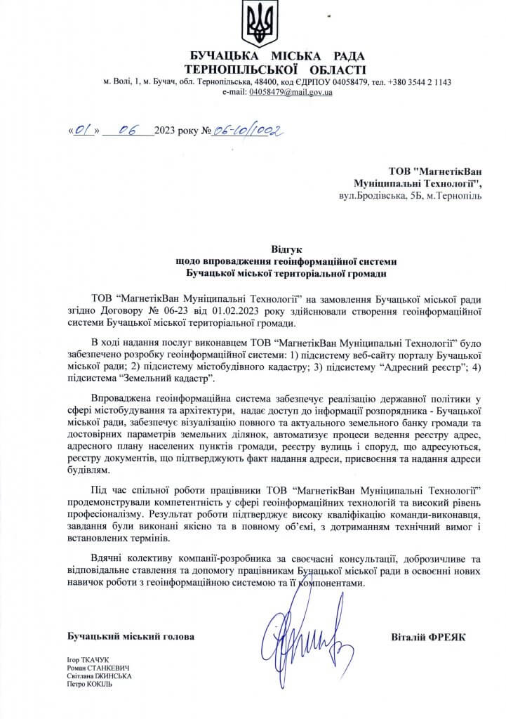
MagneticOne Municipal Technologies was commissioned by the Buchatka City Council in accordance with Contract No. 06-23 dated February 1, 2023 to create a geo-information system for the Buchatka City Territorial Community.
The implemented geoinformation system ensures the implementation of state policy in the field of urban planning and architecture, provides access to the information of the developer – the Buchatka City Council, provides visualization of the complete and up-to-date land bank of the community and reliable parameters of land plots, automates the processes of keeping the register of addresses, the address plan of the settlements of the community, the register of streets and buildings that are addressed, the register of documents confirming the fact of providing an address, assigning and providing addresses to buildings.
During joint work, MagneticOne Municipal Technologies employees demonstrated competence in the field of geoinformation technologies and a high level of professionalism. The result of the work confirms the high qualification of the executing team, the tasks were of high quality and in full, with compliance with technical requirements and established deadlines.

Geoinformation system of Staroushytsk Territorial Community
Customer:Staroushytsk settlement council
Implementation date: January 2023
Results:
MagneticOne Municipal Technologies in accordance with Contract No. 198 dated December 5, 2022 – services for the purchase of software for maintaining the town planning/land cadastre of the Staroushytsk community, successfully and within the specified terms of software delivery.
During the provision of services, MagneticOne Municipal Technologies has proven itself as a reliable executor who is willing to solve problems related to the software delivery process in a timely, efficient and qualitative manner.
The company’s GIS specialists have already begun developing software that allows visualization of the land cadastre of the Staroushytsk Territorial Community.
With this letter, we confirm that all the terms of the contract have been fulfilled properly, on time, qualitatively and in full, the received software fully meets the technical and quality characteristics.
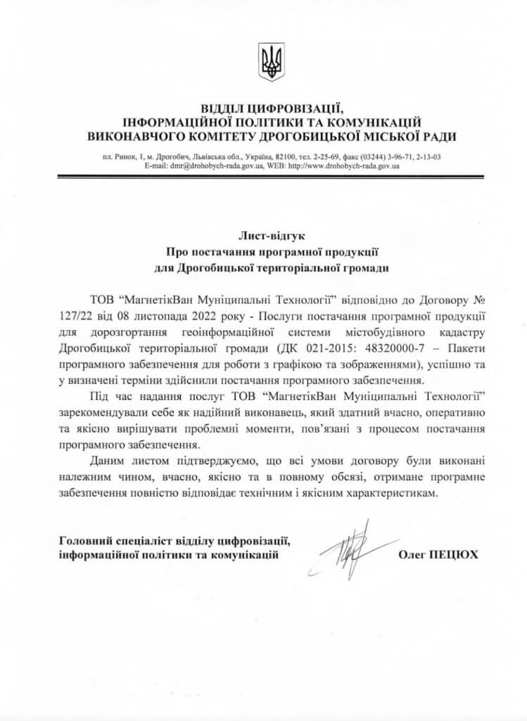
Geoinformation system of the Drohobych territorial community
Customer: Department of Digitalization, Information Policy and Communications of the Executive Committee of the Drogobytsk City Council
Implementation date: January 2023
Results:
In accordance with Contract No. 127/22 of November 8, 2022 – Services for the supply of software products for the further deployment of the geo-information system of the urban planning cadastre of the Drohobych Territorial Community (DC 021-2015: 48320000-7 – Software packages for working with graphics and images), the software was delivered successfully and within the specified time.
During the provision of services, MagneticOne Municipal Technologies has proven itself as a reliable performer who is able to solve problems related to the software supply process in a timely, efficient and qualitative manner.
With this letter, we confirm that all the terms of the contract have been fulfilled properly, on time, qualitatively and in full, the received software fully meets the technical and quality characteristics.
Geoinformation system of the Pidberiztsiv community
Customer: Podberiztsivskavillage council
Implementation date: August 2022
Results:
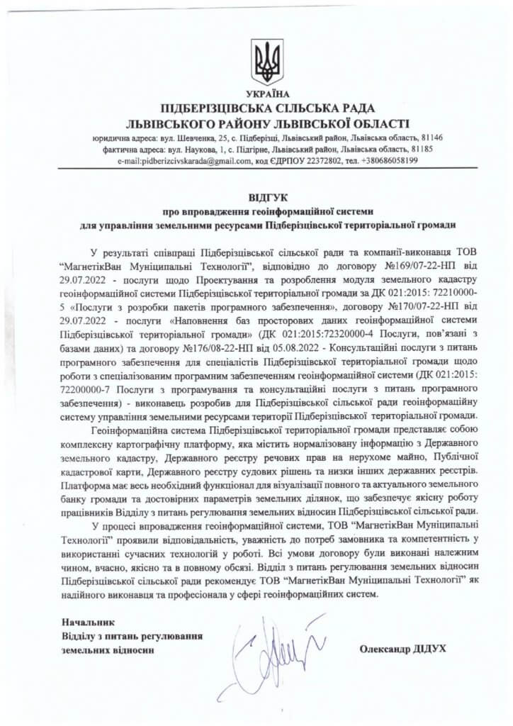
The geoinformation system of the Pidberiztsiv Territorial Community is a complex cartographic platform that contains standardized information from the State Land Cadastre, the State Register of Real Property Rights, the Public Cadastral Map, the State Register of Court Decisions and a number of other state registers.
The platform has all the necessary functionality to visualize a complete and up-to-date land bank of the community and reliable parameters of land plots, which ensures the high-quality work of the employees of the department for regulating land relations of the Pidberiztsivka village council.
In the process of implementing a geoinformation system, MagneticOne Municipal Technologies showed responsibility, attentiveness to customer needs and competence in using modern technologies in work. All terms of the contract were fulfilled properly, on time, qualitatively and in full. The Department for Regulation of Land Relations of Pidbezitsivka Village Council recommends MagneticOne Municipal Technologies as a reliable executor and professional in the field of geo-information technologies.
Geoinformation system of Smilya community
Customer: Smilyansk City Council
Implementation date: December 2022
Results:
The geoinformation system of the Smilya Territorial Community contains normalized comprehensive information from the State Land Cadastre, the State Register of Real Property Rights, the Public Cadastral Map, the State Register of Court Decisions and a number of other state registers. In this way, the land cadastre provides an opportunity to carry out a full audit and analysis of the community’s land resources, to create analytical reports and, most importantly, to identify risks related to violations of the law, evasion of rent payments, which leads to losses from the community’s budget.
In the process of implementing the component in the geoinformation system, MagneticOne Municipal Technologies showed responsibility, attentiveness to the customer’s needs and competence in using modern technologies in their work. All terms of the contract were fulfilled properly, on time, qualitatively and in full. The Department of Architecture, Development Regulation and Land Relations of the City Executive Committee of the Smilyan City Council recommends MagneticOne Municipal Technologies as a reliable contractor and professional in the field of geo-information technologies.

Geoinformation system of urban cadastre of Chortkiv city community
Customer: Chortkivska citycouncil
Implementation date: April 2021
Results:
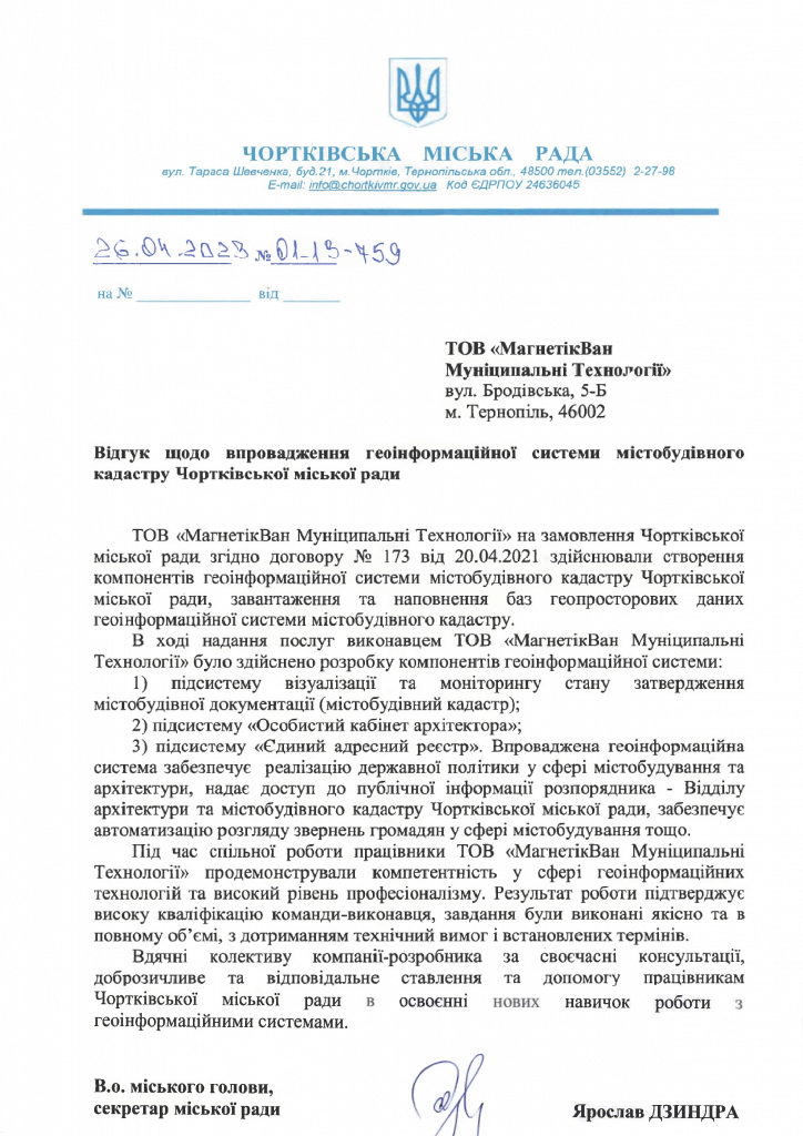
MagneticOne Municipal Technologies was commissioned by the Chortkiv City Council in accordance with contract No. 173 dated 04/20/2021 to create components of the geo-information system of the town-planning cadastre of the Chortkiv City Council, download and fill geospatial data bases of the geo-information system of the town-planning cadastre.
In the course of providing services, the contractor MagneticOne Municipal Technologies developed the components of the geoinformation system:
1) subsystem of visualization and monitoring of the state of approval of urban planning documentation (urban planning cadastre);
2) subsystem “Personal office of the architect”;
3) subsystem “Unified address register”. The implemented geo-information system ensures the implementation of state policy in the field of urban planning and architecture, provides access to public information of the manager – the Department of Architecture and Urban Planning Cadastre of the Chortkiv City Council, provides automation of consideration of community appeals in the field of urban planning, etc.
During joint work, MagneticOne Municipal Technologies employees demonstrated competence in the field of geoinformation technologies and a high level of professionalism. The result of the work confirms the high qualification of the performing team, the tasks were performed qualitatively and in full, in compliance with the technical requirements and established deadlines.
Geoinformation system of Horodotsk territorial community
Customer: Horodotsk City Council
Implementation date: December 2021
Results:
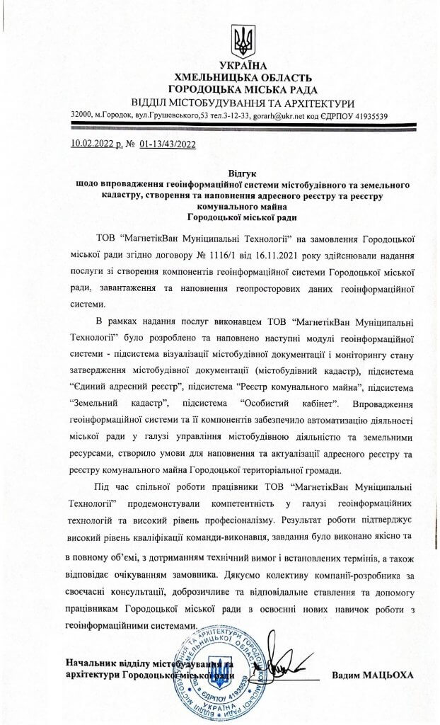
As part of the provision of services, the following modules of the geoinformation system were developed and filled by the contractor “MagnitikVan Municipal Technologies” LLC – the subsystem of visualization of town planning documentation and monitoring of the state of approval of town planning documentation (town planning cadastre), the “Single Address Register” subsystem, the “Register of Communal Property” subsystem, the “Land Cadastre” subsystem, and the “Personal Cabinet” subsystem.
The implementation of the geoinformation system and its components ensured the automation of the city council’s activities in the field of urban development and land resources management, created conditions for filling and updating the address register and the communal property register of the Horodotsk territorial community.
During joint work, MagneticOne Municipal Technologies employees demonstrated competence in the field of geoinformation technologies and a high level of professionalism. The result of the work confirms the high level of qualification of the performing team, the task was performed qualitatively and in full, in compliance with the technical requirements and set deadlines, and also meets the expectations of the customer.
Geoinformation system of the Novoslobodsk community
Customer:Novoslobodsk village council
Implementation date: August 2022
Results:
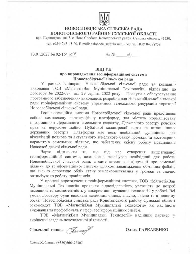
The geoinformation system of the Novoslobodsk village council is a complex cartographic platform that contains standardized information from the State Land Cadastre, the State Register of Real Property Rights, the Public Cadastre Map and a number of other state registers. The platform has all the necessary functionality to visualize a complete and up-to-date land bank of the community and reliable parameters of land plots, which ensures the high-quality work of the employees of the Novoslobodsk village council.
It is worth noting that during the creation of the aforementioned geoinformation system, the contractor implemented the functionality necessary for the work of the Novoslobodsk Village Council, namely, entering information about land plots into the geoinformation system by uploading exchange files, which greatly simplified the accounting of land use in the community and significantly optimized the work of employees.
In the process of implementing a geoinformation system, MagneticOne Municipal Technologies showed responsibility, attention to customer needs and competence in using modern technologies in work. All terms of the contract were fulfilled properly, on time, qualitatively and in full.
Geoinformation system of the Korosten territorial community
Customer: Korosten City Council
Implementation date: December 2022
Results:
The address register of the Korosten urban territorial community is designed to automate the processes of maintaining the register of addresses, the address plan of the community’s settlements, the register of streets and buildings addressed, the register of documents confirming the fact of providing an address, assigning and providing addresses to buildings.
The Department of Architecture and Urban Planning of the Korosten City Territorial Community recommends MagneticOne Municipal Technologies as a reliable executor and professional in creating the address register of the territorial community.
It is worth noting that the implemented address register of the Korosten urban territorial community fully meets the requirements specified in the Instructions for the preparation of geodata for the address register for the purpose of filling the Unified State Register of Addresses and the Register of Buildings and Structures from the Ministry of Digital Transformation of Ukraine.

Geoinformation system of destructions of Chernihiv region
Customer:GS “Educational House of Human Rights in Chernihiv
Implementation date: November 2022.
Results:
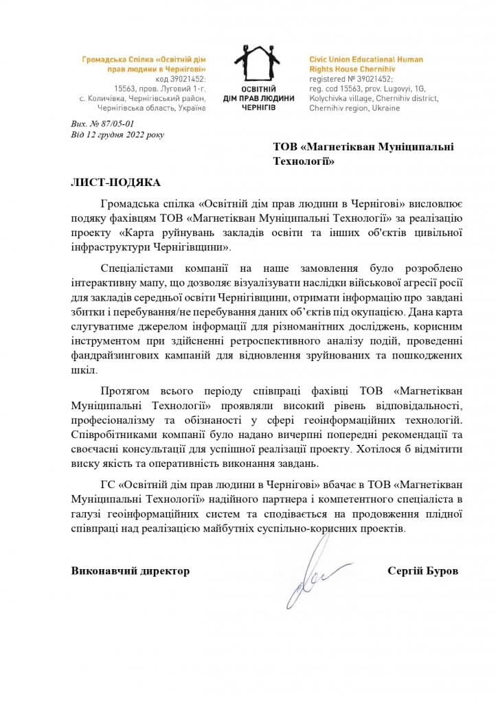
MagneticOne Municipal Technologies specialists have developed a geo-information system of the destruction of educational institutions and other objects of civil infrastructure in the Chernihiv region. The topic of the order is extremely relevant, because in connection with the military aggression of the Russian Federation against Ukraine, many educational institutions and other objects of civil infrastructure were damaged.
The interactive map will serve as a source of information for various studies, a useful tool for retrospective analysis of events, conducting franchising companies for the restoration of destroyed and damaged schools.
The map allows you to visualize the consequences of Russia’s military aggression for secondary education institutions of Chernihiv Oblast, to obtain information about the damage caused and whether or not these objects are under occupation.
Geoinformation system of Poltava city management of land resources and land cadastre
Customer: Poltava City Land Administration
resources and land cadastre
Implementation date: October 2022
Results:
Specialists of the company “MagneticOne Municipal Technologies” in cooperation with the Poltava City Council successfully implemented a project to implementgeoinformation system of the Poltava City Department of Land Resources and Land Cadastre.
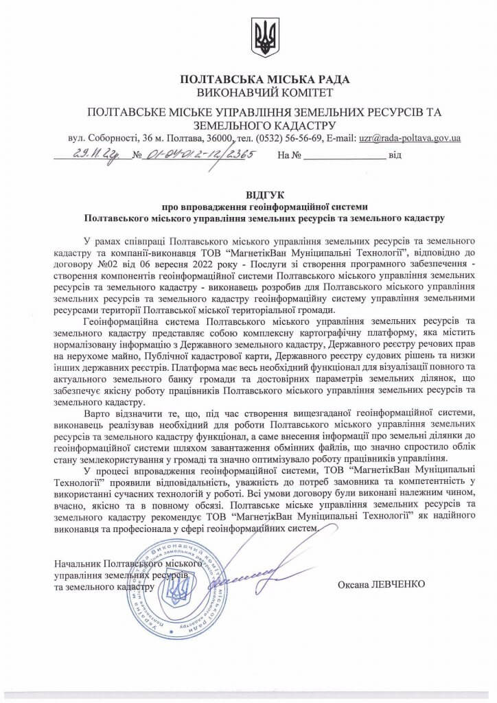
The Geoinformation System of the Poltava City Department of Land Resources and Land Cadastre is a complex cartographic platform that contains normalized information from the State Land Cadastre, the State Register of Property Rights to Movable Property, the Public Cadastre Map, the State Register of Court Decisions and a number of other registers. The platform has all the necessary functionality to visualize a complete and up-to-date land bank of the community and reliable parameters of land plots, which ensures the high-quality work of employees of the Poltava City Department of Land Resources and Land Cadastre.
That is why the land cadastre provides an opportunity to carry out a comprehensive audit and analysis of the community’s land resources, create analytical reports, and, most importantly, identify risks related to violations of the law, rent evasion, which lead to losses from the community budget.
Interactive map of historical places and natural objects of Poliska-Varasky region
Customer: Varas Center for Professional Development of Pedagogical Workers of Varas City Council
Implementation date: August 2022
Results:
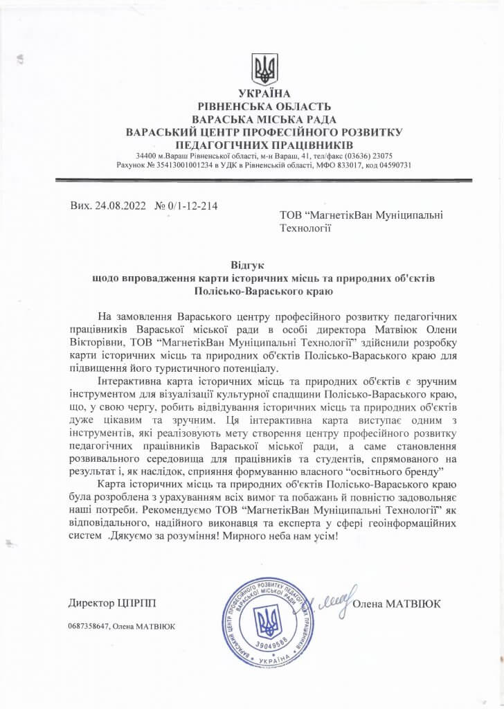
MagneticOne Municipal Technologies specialists have developed an interactive map of historical places and natural objects of the Polissko-Varasky region. The interactive map has become a convenient tool for visualizing the cultural heritage of the region andincreasing its tourist potential.
Objects that have valuable historical or natural significance have been added to the resource, with their photos and detailed descriptions attached, which also contain information with the contact details of tour guides. But center employees can easily edit the interactive map and fill it with new information.
The interactive map is one of the ways of the Center for Professional Development of Pedagogical Workers of the Varas City Council to realize its main goal – to create a favorable environment for the professional and personal development of employees and students, as well as the formation of its own “educational brand”.
Geoinformation management system of the land bank of the Staromlynivska rural community
Customer: Staromlynivska villagecouncil
Implementation date: December 2021
Results:
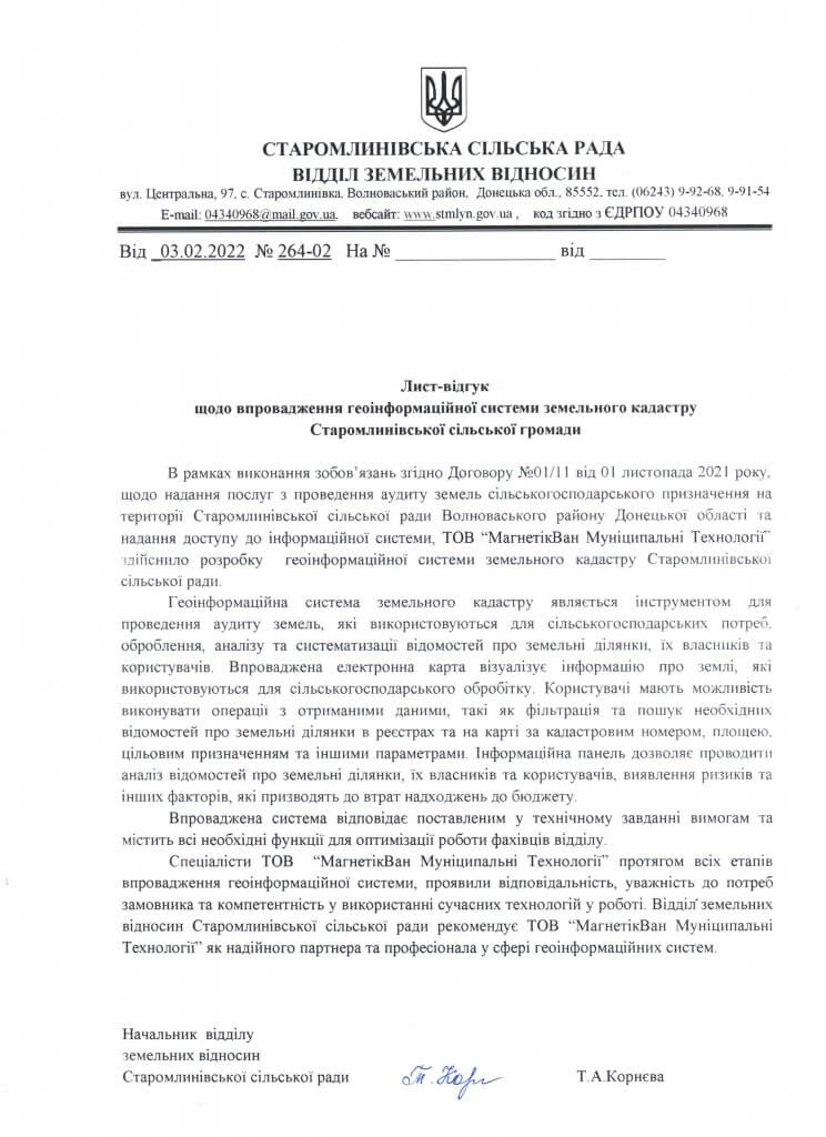
As part of the provision of services for the audit of agricultural land in the territory of the Staromlyniv community of the Volnova district of the Donetsk region, MagneticOne Municipal Technologies specialists developed a geo-information system of the land cadastre of the Staromlyniv community.
Using the land bank management geoinformation system, specialists of the land relations department can easily systematize data on land plots, their owners and tenants. Tools of the information panel of the resource allow you to search for the necessary information about community land plots in about 20 state registers, as well as filter plots by cadastral number, area, purpose and other parameters.
In this way, the land cadastre provides an opportunity to carry out a full audit and analysis of the community’s land resources, generate analytical reports, and, most importantly, identify risks related to violations of the law, rent evasion, which lead to losses from the community’s budget.
Geoinformation management system of the land bankLyubashiv settlement community
Customer:Lyubashivska villagecouncil
Implementation date: December 2021.
Results:
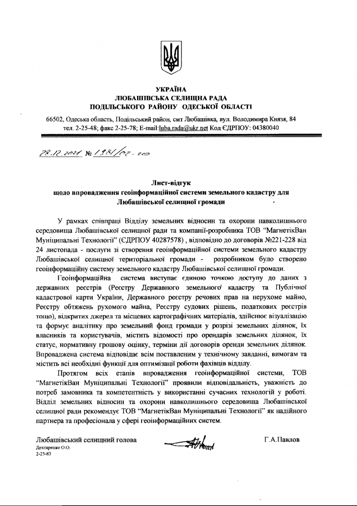
In cooperationof MagneticOne Municipal Technologies specialists and specialists of the Department of Land Relations and Environmental Protection of the Lyubashiv Settlement Council was created and implementedgeoinformation management system of the land bank of Lyubashiv community.
The main value of the created resource for the community is the opportunity to organize data on land resources and to simplify the administration of the specialists of the department of land relations and environmental protection. The geo-information system of the land cadastre ensures effective control of the granted permits for the production of documentation related to the privatization or sale of plots, change of owner or purpose, removal of plots from state and communal lands, etc.
The geoinformation system of land bank management contains information from more than 20 state registers and sources of information, namely the Register of the State Land Cadastre and the Public Cadastre Map of Ukraine, the State Register of Real Property Rights, the Register of Encumbrances of Movable Property, the Register of Court Decisions, tax registers, etc.
Geoinformation management system of the land bank of the Zasluchna rural territorial community
Customer:Zasluchna village council
Implementation date: December 2021.
Results:
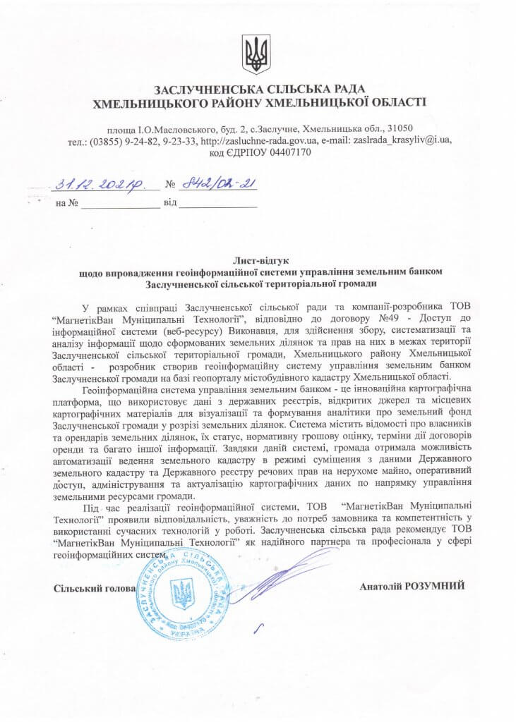
Specialists of the “MagneticOne Municipal Technologies” company, in cooperation with the Zasluchna village council, successfully implemented a project to implement a geo-information management system for the land bank of the Zasluchna community.
The resource is intended for the collection and systematization of data on the formed land plots and the rights to them, within the territory of the Zasluchna community of the Khmelnytskyi district of the Khmelnytsky region. In this way, the geoinformation system contains information about the owners and tenants of land plots, their status, normative monetary assessment, terms of validity of lease agreements, etc.
Thanks to the implemented product, the community was able to carry out detailed monitoring of the community’s land resources and make effective decisions about them.
Geoinformation system of urban planning cadastre of Drohobytsk territorial community
Customer: Drohobytsk City Council
Implementation date: December 2021.
Results:
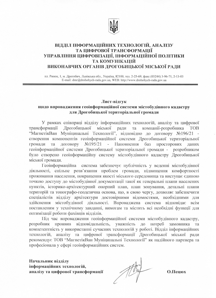
In cooperation with the Department of Urban Planning and Architecture of the Drogobytsk City Council and the company “MagneticOne Municipal Technologies”, the geoinformation system of the urban cadastre of the Drogobytsk Territorial Community was created and filled with spatial data.
The geoinformation system provides publicity in the conduct of urban planning activities, because it provides citizens with access to information about the state of the environment, the real estate market, transport, etc. In this way, it helps to jointly solve problems related to the land fund and increase the comfort of living for the population.
In turn, the geoinformation system simplifies the work of specialists in the urban planning and architecture department by implementing electronic registration services and spatial information exchange. The resource also provides prompt access to up-to-date information necessary for decision-making in urban planning activities.
Geoinformation system of the urban cadastre of the Korosten City Council
Customer: Korosten City Council
Implementation date: September 2021.
Results:
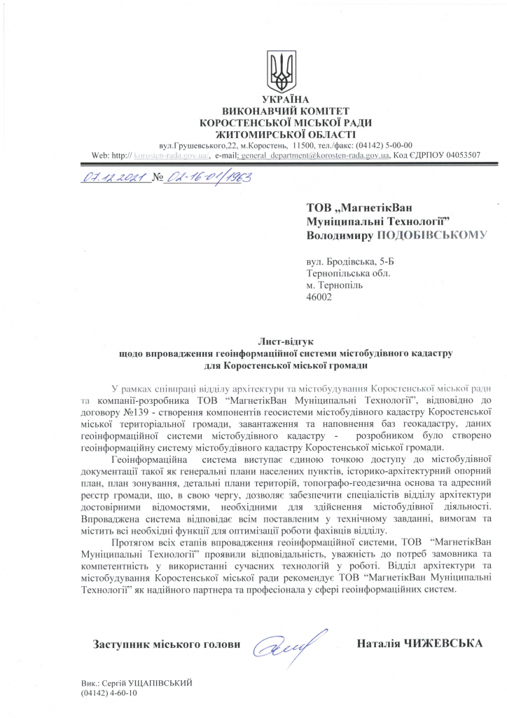
Specialists of the company “MagneticOne Municipal Technologies” together with the department of architecture and urban planning of the Korosten City Council implemented a geo-information system of the urban cadastre of the Korosten City Community.
The geoinformation system is a single point of access to urban planning documentation, such as: general plans of settlements, historical and architectural reference plan, zoning plan, detailed plans of territories, topographical and geodetic base and address register of the community.
The resource provides access to the specialists of the architecture department to up-to-date data, which are necessary for the implementation of urban planning activities. It also allows optimizing the work of the department’s specialists through the automation of the processes of keeping registers of urban planning conditions and restrictions, building passports, land allocation projects, etc.

Interactive tourist map
of the Radomyshl city territorial community
Customer: Executive Committee of the Radomyshl City Council of the Zhytomyr Region
Implementation date: October 2021.
Results:
Specialists of the company “MagneticOne Municipal Technologies” developed an interactive tourist map of the Radomyshlsk territorial community and provided training services for employees of the Radomyshlsk community regarding the operation and support of the interactive map.
The introduced cartographic resource is a tool for saving and accumulating tourist information and visualizing the tourist infrastructure of Radomyslshchyna, and also serves as a tool for attracting foreign tourists thanks to the ability to view the map in Ukrainian, English and Polish.
Geoinformation system of investment attractiveness of the Radomysl urban territorial community
Client: Yatskivska Olena – head of the department of economic development, transport, international cooperation, project-investment and information activities of the Radomyshl City Council
Implementation date: October 2021.
Results:
MagneticOne Municipal Technologies developed a geo-information system of the investment attractiveness of Radomyshlsk Territorial Community of Zhytomyr Oblast to increase the investment potential of Radomyshlsk Region.
This digital resource visualizes the investment climate of the Radomysl community and contains descriptions of each project with the possibility of obtaining extended information. The Investment Passport, available for review, contains information about the competitive advantages of the community, its economic potential, priority directions for investment, information about successful cooperation with international partners, investment proposals for investors (land plots, free industrial space for rent or sale, etc.).
The convenient and intuitive interface of the interactive map is a modern tool for attracting investments to the community.


Geoinformation system of the Korosten City Council
Customer: Korosten City Council
Equipment delivery date: December 2020.
Results:
A successful campaign for the implementation of the geo-information system of the Korosten city council of Zhytomyr region has been launched.
MagneticOne Municipal Technologies delivered server equipment for the implementation of the project: “Geoinformation system of the Korosten City Council of the Zhytomyr region” within the specified time frame.
GIS specialists MagneticOne Municipal Technologies have already begun developing software that allows visualization of urban planning documentation and the land cadastre of the Korosten City Council.
The use of the geoinformation system will provide the specialists of the Executive Committee of the Korosten City Council with access to up-to-date information on urban planning documentation and will provide an opportunity to resolve issues related to the community’s land fund, attracting investments, and resolving controversial issues.
Geoportal of the urban cadastre of Khmelnytskyi region
Client: Department of Urban Planning and Architecture of Khmelnytskyi State Administration
Implementation date: February 2021.
Results:
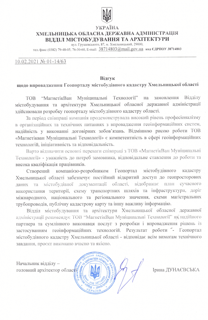
The geoportal of the urban cadastre of Khmelnytskyi region provides access to geospatial data and urban planning documentation of the region.
At this time, the Geoportal of the urban cadastre of the Khmelnytskyi region shows the Planning Scheme of the territory of the Khmelnytskyi region, namely: Plan of modern use of the territory, Project plan, Scheme of transport routes and infrastructure, roads of international, national and regional importance, Scheme of main pipelines, Scheme of electricity supply, Scheme of natural and man-made hazards, Scheme of location of cultural heritage objects, public cadastral map and State of approval of urban planning documentation Khmelnytskyi region. The geoportal of the urban cadastre of the Khmelnytsky region provides for the entry of district and local level information (territorial communities).
The resource is built in such a way that it allows expanding the database of existing objects and building new layers of spatial information. The geoportal of the region provides informational support for the activities of the Department of Urban Planning and Architecture of the Khmelnytskyi Regional State Administration.
Geoportal of the urban cadastre of the Loziv City Council
Customer:Department of urban planning, architecture and land relations of the Loziv City Council
Implementation date: June 2020.
Results:
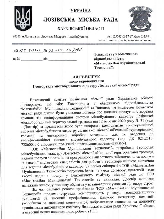
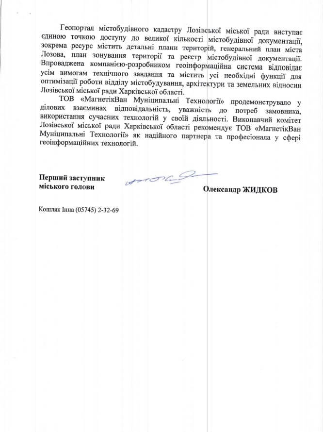
The geoportal of the urban planning cadastre of the Loziv City Council provides access to geospatial data and urban planning documentation of the Loziv City Council. The resource is designed to automate and optimize the work of the department of urban planning, architecture and land relations. Currently, the Geoportal of the MBK of the Loziv city OTG contains the general plan of the city, detailed plans of the territories, the zoning plan of the territory and the register of urban planning documentation. The resource is built in such a way that it allows you to expand the entered data, build new layers and add objects.
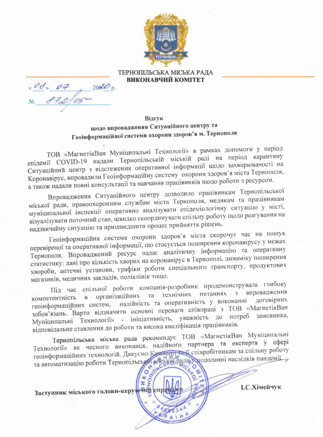
The situational center based on the geoinformation system of health care of the city of Ternopil
Customer: Ternopil City Council
Implementation date: March 2020.
Results:
MagneticOne Municipal Technologies cooperates with the Ternopil City Council in real time for prompt response and display of patient data.
The use of GIS provides access to up-to-date information about the mode of operation and location of pharmacies and grocery stores. The geoinformation system allows you to find the nearest polyclinic or hospital and displays their work schedule.
Special transport routes are marked on the city map. Separate blocks present information on:
- The number of people suspected of being infected with the coronavirus;
- The number of persons with a confirmed diagnosis of COVID-19;
- The number of deaths diagnosed with the COVID-19 coronavirus;
- Total number of beds;
- The dynamics of the spread of the COVID-19 coronavirus;
- Hotline contacts.
The geoinformation system of the city’s health care reduces the time to search for reliable and operational information related to the spread of the coronavirus within Ternopil.
The system helps to coordinate the actions of all city services, businesses, volunteers and concerned citizens in the current conditions of the epidemic#covid19.
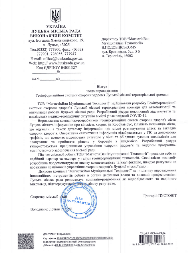
Geoinformation system of health care of Lutsk urban territorial community
Customer: Lutsk City Council
Implementation date: June 2020.
Results:a specialized medical cartographic-analytical resource was developed and implemented, designed for the collection, preservation, accumulation, analysis and display of current information about the spread of the COVID-2019 coronavirus in the territory of the Lutsk urban territorial community. The resource provides analytical information about:
- the number of hospitalized persons with suspicion;
- the number of persons with confirmed cases of the COVID-2019 coronavirus;
- the number of city residents who have recovered;
- the location of pharmacies and healthcare facilities.
Geoinformation system of health care of Lutsk urban territorial community reduces the time to search for verified and operational information related to the spread of the coronavirus within the OTG.
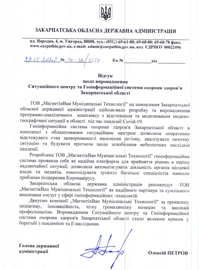
Situation center based on the geoinformation system of health care of the Transcarpathian region
Customer: Transcarpathian State Administration
Implementation date: May 2020.
Results:a modern tool for emergency monitoring and prevention was implemented within the Zakarpattia region. The multi-functional core of the operation center is the geoinformation system of health care of the Transcarpathian region. The main tasks of GIS:
- registration of incidents, audits of equipment and tools;
- visualization of data on the spread of a pandemic/emergency situation;
- the possibility of laying short special transport routes;
- forecasting and analysis of possible consequences;
- preservation of spatial data about the territory.
The results of the analysis are displayed on a large screen. The main purpose of such a complex is the organization of operational analysis of information with subsequent response and management decision-making, as well as control and monitoring of objects of various nature, situations and other functions.
Geoportal of the urban cadastre of the Ternopil city united community
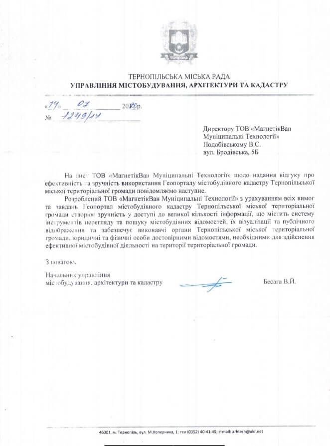
Customer:Department of Urban Planning and Architecture of the Ternopil City Council
Implementation date: December 2019.
Results:Thanks to the implementation of the public Geoportal of the town planning cadastre, the specialists of the Department of Town Planning, Architecture and Cadastre of the Ternopil City Council received the newest tool for working with town planning documentation. This resource provides publicity in the conduct of urban planning activities, residents of Ternopil will have the opportunity to view information about the state of the environment, the real estate market, transport, historical and architectural sights, food establishments, and tourist facilities only by clicking on the link.
Geoinformation system “Interactive map of the nature reserve fund of Ternopil region”
Customer: Department of Ecology and Natural Resources
Implementation date: December 2019.
Results:The interactive map of the nature reserve fund of the Ternopil region allows employees of the Department of Ecology and Natural Resources to receive information about the legal status, regime, ownership, geographical location, quantitative and qualitative characteristics of the nature reserve fund objects. All these diverse data are combined on one card, which ensures maximum convenience and constant readiness for work.

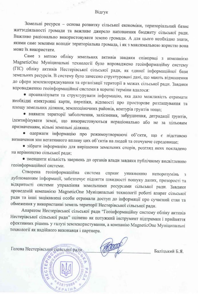
Geoinformation system of asset accounting of Nesterivska village council
Customer: Nesterivska village council
Implementation date: May 2017.
The purpose of the project:
- maintaining up-to-date data on the management, household and production infrastructure of Nesterivska village council;
- obtaining information support and prompt access to the spatial database and necessary land management documents via the Internet;
- speeding up and increasing the efficiency of the decision-making procedure in the field of agriculture and construction;
- planning activities for maintenance and repair of roads and administrative buildings;
- maintenance of a database of engineering networks, prevention of emergency situations;
- compliance with building regulations (the electronic map visualizes security zones around engineering networks).
Results:a modern tool for managing the main treasure of the Ukrainian village – its land and labor resources – was introduced. The interactive map displays spatial information that is relevant for the head of the Nesterivska village council with the possibility of operating the thematic layers of the map and editing the content.
Interactive tourist map of Ternopil region
Customer: Department of Tourism of the Ternopil Regional State Administration.
Implementation date: September 2018.
Results:a cartographic web product designed for saving, accumulating and displaying tourist information has been implemented. The map consists of a system of geographic data and tourist objects with numerous attractions, additional information on the tourist infrastructure and the possibility of detailed familiarization with these objects.

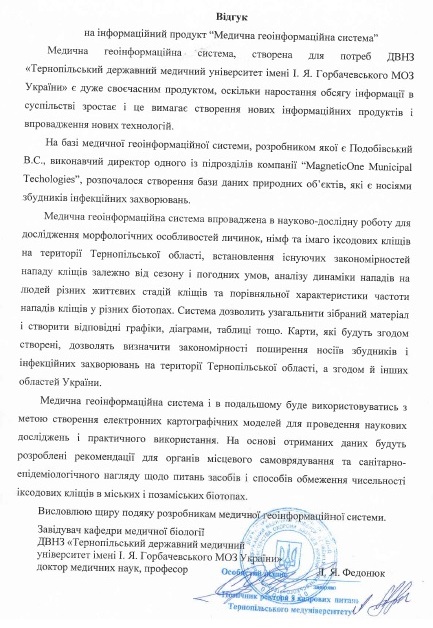
Medical citye-informational system of distribution of tick-borne infections
Customer: Ternopil State Medical University named after I. Ya. Gorbachevsky.
Implementation date: February 2018.
The purpose of the project:
- creation of a platform for recording, storing and displaying data on the places of spread of tick-borne pathogens;
- analysis of morphometric indicators of ticks in the form of charts and graphs using system tools;
- systematic monitoring, accounting and control of the medical and geographical situation of the studied region;
- carrying out a spatial analysis of the prevalence of diseases caused by ticks (babebiasis, anaplasmosis, piroplasmosis, etc.) and monitoring real threats to public health.
Results:a specialized medical cartographic-analytical resource designed to collect, save, accumulate, analyze and display information on the spread of tick-borne infections in a certain region has been implemented. The map provides analytical information on a wide range of tick-borne infections in order to achieve a comprehensive view of the current situation of infectious diseases and their impact on human and animal health.
Interactive map of communal property management of the city of Ternopil
Customer: Department of accounting and control over the use of communal property of the Ternopil City Council.
Implementation date: September 2017.
The purpose of the project:
- implementation of automated accounting of communal property objects;
- implementation of monitoring of structural changes in the communal sector of the city’s economy;
- ensuring control over the effective use of communal property objects;
- ensuring the implementation of management decisions, openness and transparency of informing about the state of the city’s communal economy.
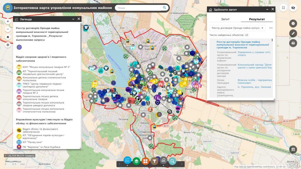
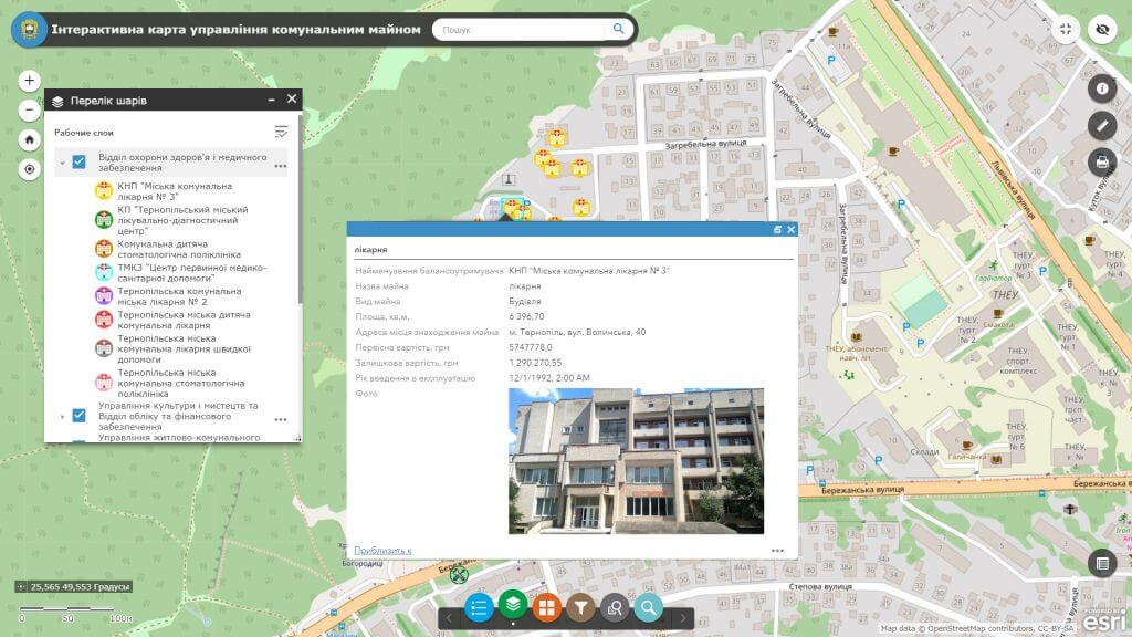
Results:an automated cartographic system of collection, accounting, accumulation, processing and display of information on communal property of the city community of Ternopil was implemented. The web map includes more than 1,000 objects of communal property, acts as the most concise tool for organizing a large amount of spatial information and contributes to increasing the efficiency of the use of city property.
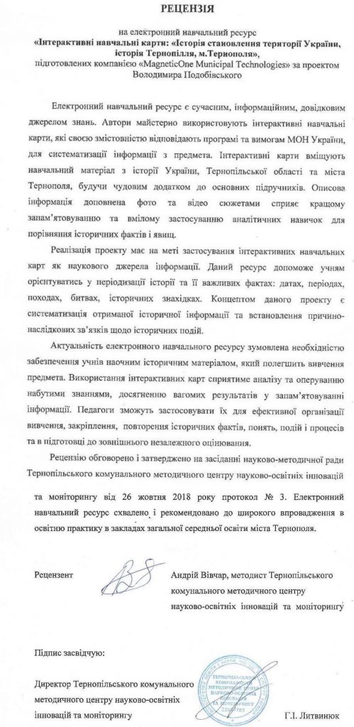
Interactive educational map “The history of the formation of the territory of Ukraine. The history of the Ternopil region. The history of the city of Ternopil”
Customer: Department of Education and Science of the Ternopil City Council.
Implementation date: September 2018.
The purpose of the project:
- visualization of historical places and events, including changes in the state territory of Ukraine with the help of cartographic, photo and video materials drawn on one map;
- implementation of interactive learning methods with wide possibilities of combining, processing and demonstrating various types of spatial information;
- to stimulate the desire to study the history of the region and the country, to form national consciousness, one’s own identity, patriotism and love for the native land, one’s people, the desire to work for the state, the readiness to defend it;
- to raise a full-fledged citizen – a patriot of Ukraine, who is able to navigate freely in public life and realize his role and responsibility before society and the state, know its history and defend its honor;
- draw attention to the rich historical and cultural heritage of the native region (castles, palaces, sacred monuments, etc.).
Results:using the modern achievements of web cartography and programming, an accessible learning tool was created, designed to systematize and visualize key events in the history of Ukraine, Ternopil region and the city of Ternopil: territorial changes, achievements of diplomacy, culture.
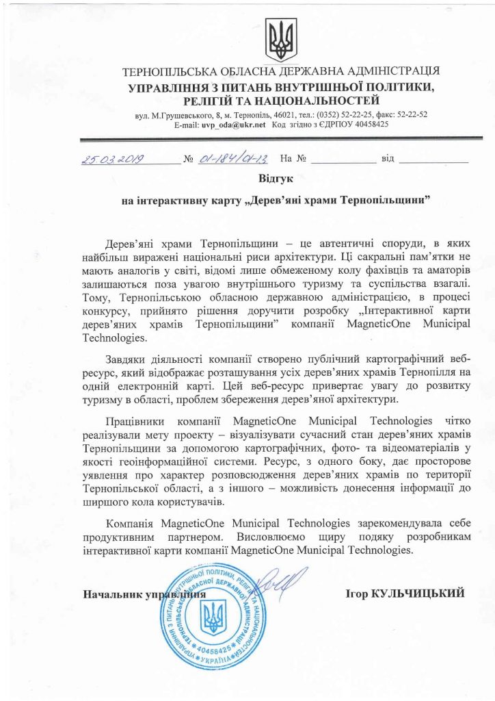
Interactive map “Wooden temples of Ternopil Region”
Customer: Department of Internal Policy, Religion and Nationalities of the Ternopil Regional State Administration.
Implementation date: August 2018.
The purpose of the project:
- creation of a spatial electronic database of monuments of wooden sacred heritage of Ternopil Region;
- visualization of the broken state of the wooden temples of the Ternopil region with the help of cartographic, photo and video materials as a geo-information system;
- creation of a single information field for the community of admirers of wooden architecture;
- implementation of interactive information visualization technologies with wide possibilities of combining, processing and demonstrating spatial data of sacred content;
- draw society’s attention to the rich sacred heritage of the native region.
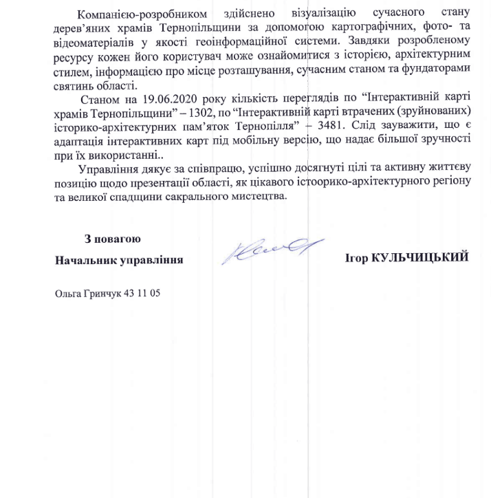
Results:Using modern methods of mapping and information technologies, an accessible tool for recording, recording, systematizing, preserving and visualizing information about wooden temples of Ternopil region has been created. The resource, on the one hand, gives a spatial idea of the distribution of wooden churches in the territory of Ternopil region, and on the other hand, the possibility of conveying information to a wide range of users thanks to its publicity.

Interactive map of the lost (destroyed) historical and architectural monuments of Ternopil
Customer:Department of Internal Policy, Religions and Nationalities of the Ternopil Regional State Administration
Implementation date: December 2019.
The purpose of the project:the project is designed to draw public attention to the problems of protection and preservation of Ternopil’s architectural monuments.
Results:We invite you on a journey to the lost historical and architectural monuments of the Ternopil region, where finally destroyed castles, palaces, sacred monuments, town halls and other, unfortunately, already destroyed monuments come to life on an interactive map. The map displays detailed information about the object along with its photo, so the user has a visual opportunity to examine and study the attraction that interests him.
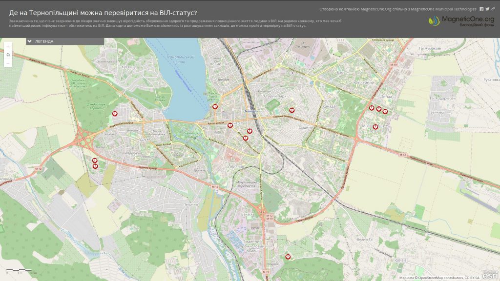
Interactive map “Where in Ternopil Oblast can you get tested for HIV status?”
Client: MagneticOne.org
Implementation date: December 2018.
The purpose of the project:
- to acquaint city residents with the locations of facilities where they can be tested for HIV status;
- a strong recommendation to anyone who had at least the slightest risk of infection to get tested for HIV;
- timely diagnosis and the use of therapy, the life of patients improves significantly, and its duration can reach the life expectancy of uninfected people
Results:The “MagneticOne.Org” Charitable Foundation together with MagneticOne Municipal Technologies and the Specialized Outpatient Polyclinic Department for the Prevention and Treatment of HIV Infection/AIDS KUTOR “Ternopil Regional Drug Dispensary” developed an interactive map “Where in Ternopil Oblast you can get tested for HIV status

Geoportal of the urban cadastre of Ternopil region
Client: Department of Urban Planning and Architecture of the Ternopil Regional State Administration
Implementation date: April 2019.
The purpose of the project:
- ensuring publicity in the conduct of urban planning activities, joint resolution of regional problems;
- ensuring citizens’ access to information about the state of the natural environment and natural resources of the region, transport and engineering systems, with the receipt of up-to-date and reliable information-reference and cognitive geo-information services;
- automation of the process of maintaining the register of addresses, the address plan of the city, the register of streets and objects thanks to the address registration subsystem;
- implementation of centralized management of data on urban planning objects, combined into classes of the same type of spatial data thanks to the subsystem for managing the geospatial data base of urban planning cadastre objects;
- provision of operational access, administration and updating of planning and cartographic data, orthophoto plans, digital and electronic maps.
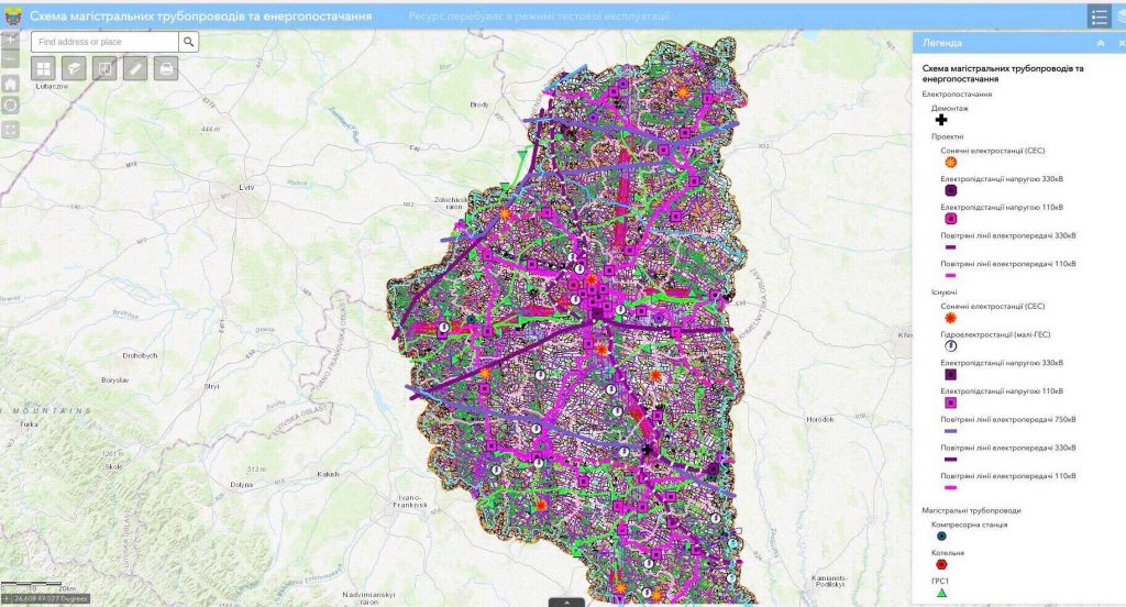
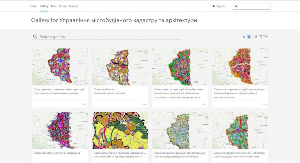
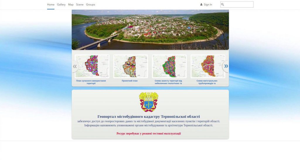
Results:The geoportal of the urban cadastre of the Ternopil region is a cartographic Internet resource that acts as a single point of access to a large number of informational data sources with a system of tools for viewing and searching for geographic information, its visualization, uploading and distribution. The main feature of the geoportal is its focus on working with large volumes of data to create specialized industry and thematic solutions in the field of urban planning and land cadastre, for operational management of the development of the territory, determining the location of investment sites, monitoring the results of the activities of authorities, etc.
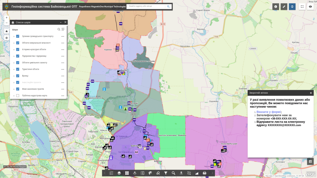
Geoinformation system of Baikovetska OTG
Customer: Bakovetska OTG
Implementation date: May 2019.
The purpose of the project:
- obtaining information support and prompt access to the spatial database and necessary land management materials;
- obtaining an objective assessment of the state of land resources, improving the system of accounting for land plots;
- speeding up and increasing the efficiency of the decision-making procedure in the field of agriculture and construction (selection of a plot of land for ownership, residential construction, etc.);
- managing vital community processes from a mobile phone.
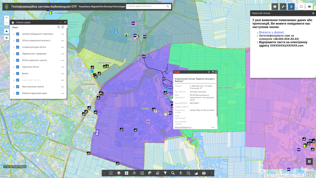
Results:The geo-information system of the Baykovets OTG is a quality management of available resources (labour, land, economic) for development planning and operational management of all spheres of activity of the united territorial community of the OTG.
Interactive map of temples of Ternopil region
Customer:Department of Internal Policy, Religions and Nationalities of the Ternopil Regional State Administration
Implementation date: December 2019.
Results:
The interactive map of the temples of the Ternopil region will tell about the entire palette of sacred monuments of the region. Thanks to the resource, each of its users can get acquainted with the history, architectural style, information about the location, current state and founders of the shrines of Ternopil.
The presented solutions are aimed at interested people who want to learn about history through the use of interactive technologies – schoolchildren, student youth, tourists, architecture connoisseurs.
Your project could be next
Let us discuss your organisation’s objectives
We will clarify your needs, available data and expected outcomes, then propose a clear and practical cooperation format.