Geoinformation system of regional management

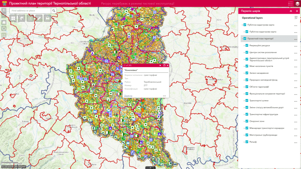
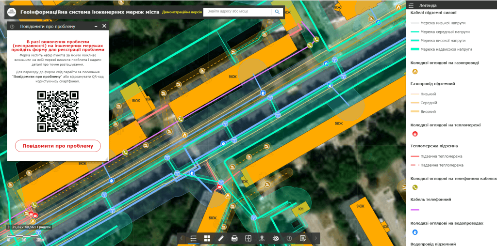
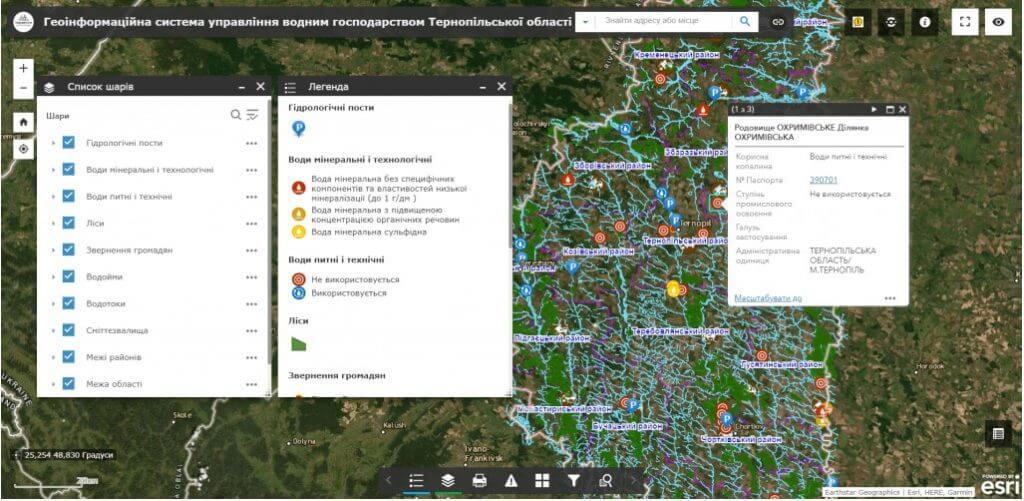
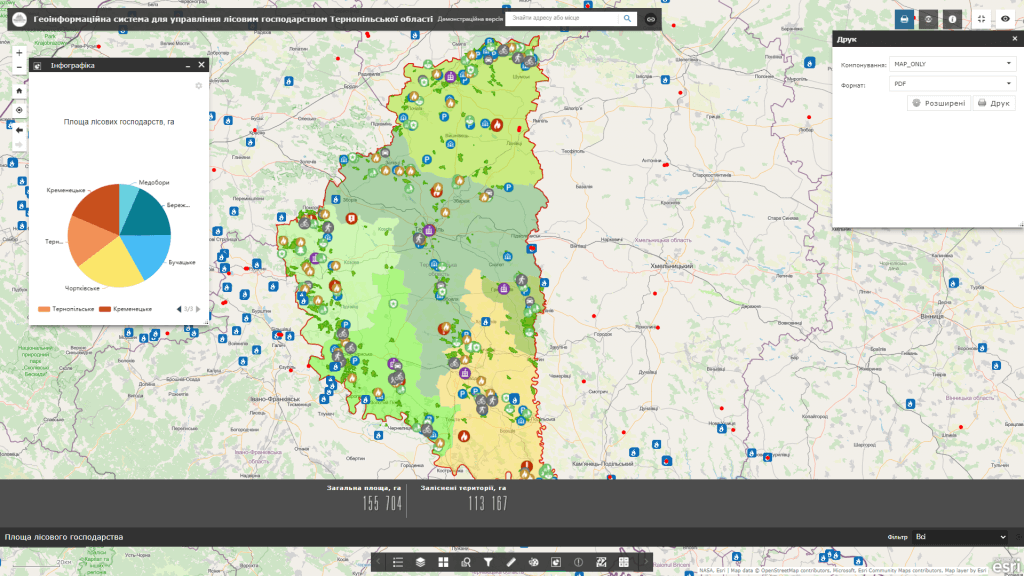
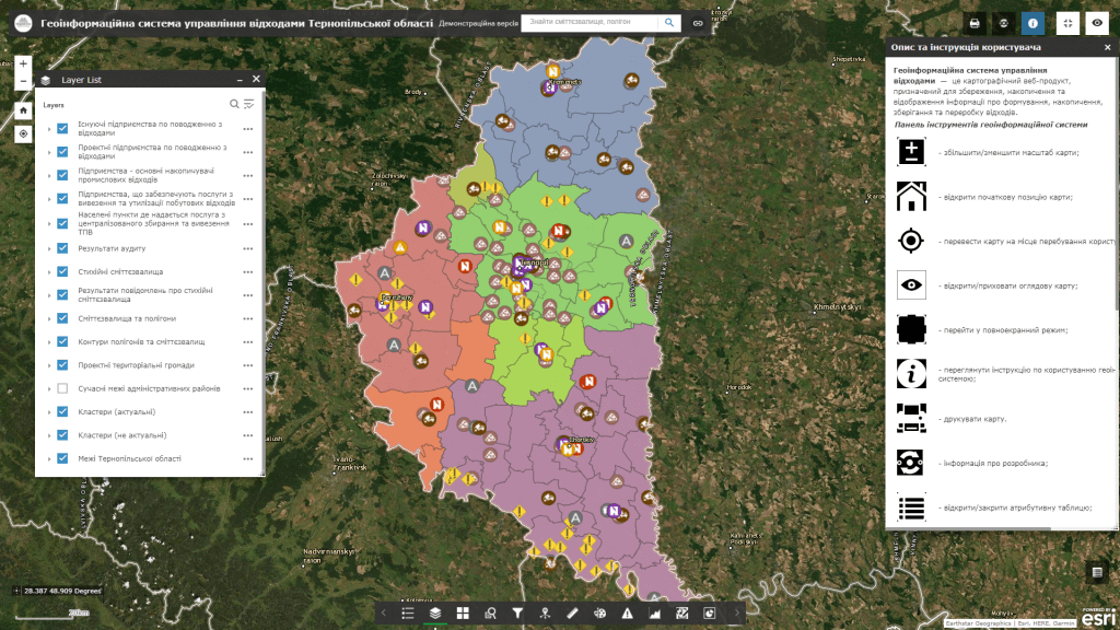
Geographical information system (GIS) management of the region– is an electronic cartographic information and analytical resource based on a geo-information system that combines, stores and displays information and indicators from various spheres of life in cities, villages, OTG, and oblast districts.  The main task of the system is information support in the field of solving practical tasks of accounting for natural resources (land, water, forest, mineral raw materials, energy, recreation), objects of engineering and transport infrastructure, tourism, etc., providing current analysis and comprehensive assessment of information about the state of objects critically important for the functioning of the region.

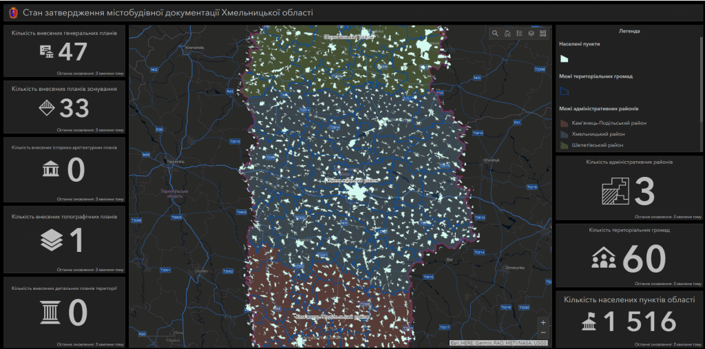
GIS is aimed at employees of state and local authorities, public organizations, research institutions, mass media and residents of the region. The resource allows comprehensive analysis of large volumes of data from all regions of the region about the population, budget, water and forest resources, indicators of economic development, planned repair works, transport infrastructure, health care, safety, culture, administrative services and control construction by visualizing them with the help of interactive maps, diagrams, graphs and widgets.
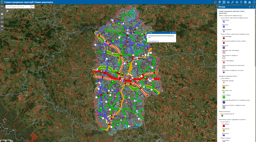
The geoinformation system is intended for:

  • provision of information support for management decisions in the field of regional construction, management of forestry and water management, waste, infrastructure facilities, etc. in the form ofthematic maps, histograms, tables and other graphic images;
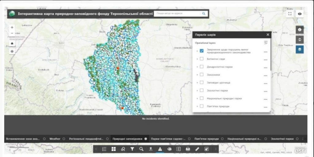
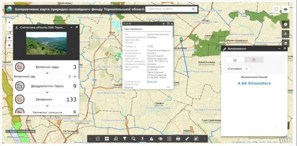
  • obtaining information about the geographical location, current state, quantitative and qualitative characteristics of the objects of transport, social, industrial infrastructure of the region, the state of natural resources (water, forest, recreational) and garbage storage sites;
  • creation and adjustment of mechanisms for operational data collection by means of mobile devices on the state of implementation of regional development programs;
  • creating conditions for the implementation of successful activities of state authorities through the visualization of infrastructure objects and providing the manager with the ability to draw conclusions and make decisions based on the analysis of the digital model of the territory;
  • ensuring communication and interaction with other geoinformation systems and cadastres through inter-portal communication technology (Public cadastral map of Ukraine, State Agency of Water Resources of Ukraine, State Forest Cadastre of Ukraine, etc.);
  • operational access, administration and updating of electronic maps, including in the field in real time using mobile devices;
  • ensuring public access to information about the current state of implementation of development programs of the region and the decision-making process;
  • display and analysis of data in real time: road accidents, traffic, fires, weather, webcams, road repair, construction, etc.

Advantages of implementing regional management GIS:

  • scalability of the software solution, flexibility of system configuration taking into account urgent needs;
  • low cost of geoinformation system modules;
  • regulated access to spatial data and other information;
  • a convenient mechanism for data exchange between various agencies and departments;
  • support of international standards, typical data exchange formats;
  • reduction of costs for collection, processing and updating of spatial data, quick return on investment.

Cost and terms of order fulfillment

MagneticOne Municipal Technologies provides a full range of services related to the development of GIS, namely the supply, installation and configuration of hardware and software, the implementation of scanning and vectorization of paper schemes and the implementation of full-scale engineering and geodetic searches for filling the system with data, training specialists, technical support and support. Development terms are agreed upon additionally.

Services that precede the creation of the Regional Management System

  • Консультування
  • Сканування паперових документів та карт
  • Просторова прив'язка картографічних матеріалів
  • Оцифрування
  • Наповнення бази даних ГІС