Creation of 3D models of destroyed objects

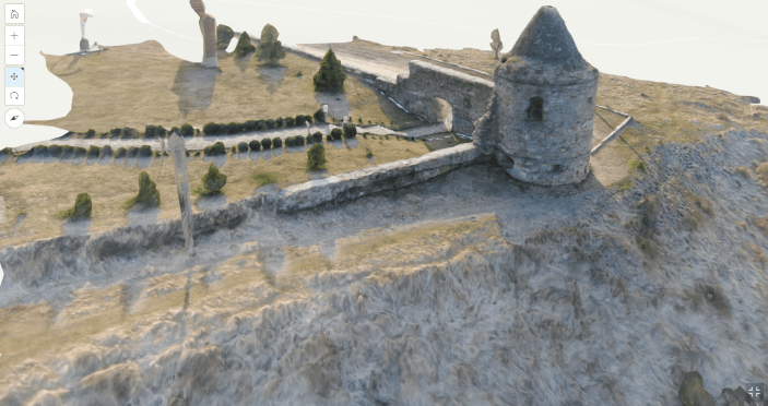
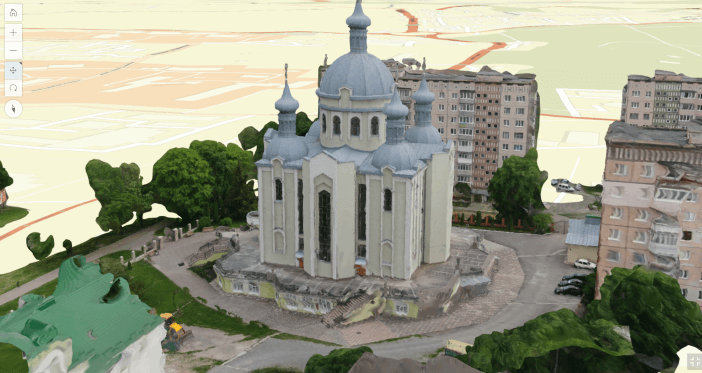
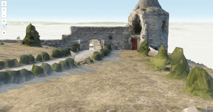
MagneticOne Municipal Technologies provides a service for creating spatially bound photorealistic 3D models of destroyed urban and industrial buildings, military and other purposes.

Three-dimensional modeling of the destroyed object is carried out using aerial photography from unmanned aerial vehicles (UAVs) and modern photogrammetric processing algorithms. The model created in the course of providing the service is intended for understanding the actual state of the destroyed object, material assessment of the damage caused and its restoration.

With the help of specialized software and relevant technologies, MagneticOne Municipal Technologies specialists quickly create detailed and high-quality three-dimensional models of destroyed urban buildings, architectural monuments, industrial and military objects.
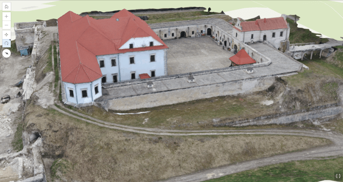
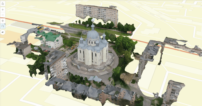
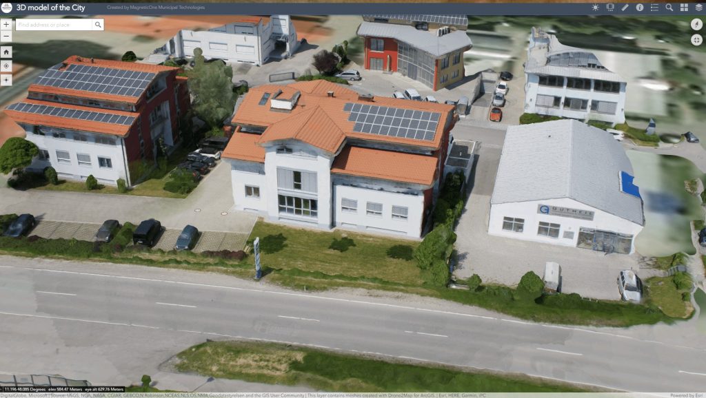
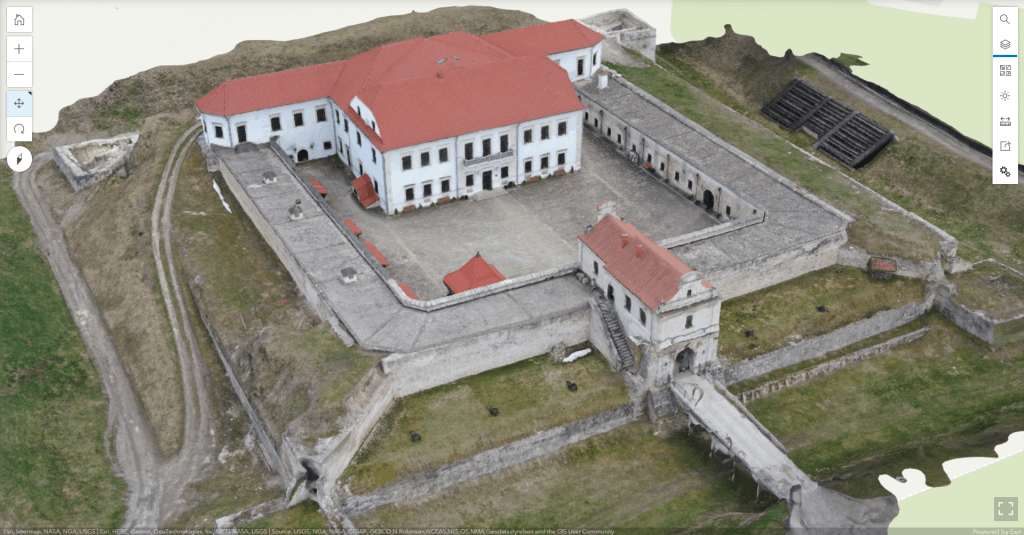
The models are a spatially bound three-dimensional map of terrain heights and irregularities with a phototexture of the modeled object superimposed on it. The process of providing the service involves the creation of a large number of highly detailed photos according to special rules and algorithms.

The result of the service is a realistic 3D model of a destroyed object or a group of them, which are displayed in the form of an interactive map with models applied to it. If all conditions are met, the three-dimensional model can have a construction accuracy of up to 10 cm.

Tasks that help solve the creation of a 3D model:

  • operational survey and visualization of the actual state of property and production assets of the municipality;
  • complex tasks related to the management of the territory that has undergone destruction and the planning of the development of urban infrastructure;
  • geometric design of the city, community, region, taking into account such important factors as the relief of the area, the engineering and transport system, etc. thanks to the overlay of the model on the current electronic map;
  • ensuring the access of a wide range of specialists (architects, designers, city or community management) to information about the state of the destroyed object for the purpose of its reconstruction, damage assessment.
Створення 3D-моделі

Advantages of using a three-dimensional model:

  • the relatively high speed of creating a model of both a single object and entire blocks of urban development or an entire city;
  • low cost of creating a model due to the minimal involvement of manual labor of the operator;
  • photo-realism of the model, sufficient to solve most tasks in territorial planning;
  • geometric accuracy and correctness of the created model;
  • to view the model, no specialized software is required, just an Internet connection.

Modeling is carried out for:

  • destroyed administrative buildings (premises of village and city councils, objects of social protection of the population, premises of the RDA and ODA, etc.);
  • destroyed educational institutions (schools, kindergartens, universities, etc.) and medicine (hospitals, polyclinics, rehabilitation centers);
  • sports and entertainment complexes;
  • destroyed residential buildings (high-rise buildings and blocks of residential buildings, private estates);
  • destroyed enterprises and industrial facilities (plants, factories, warehouses, hotels);
  • destroyed road transport, engineering and hydraulic infrastructure (bridges, tunnels, roads, railway stations, airports and seaports, dams, etc.);
  • destroyed historical, cultural and sacred heritage (churches, cathedrals, squares, monuments);
  • destroyed places of trade (shops, markets, shopping complexes, etc.);
  • destroyed objects of the military-industrial complex and communications (military units, training grounds, television towers, etc.).

MagneticOne Municipal Technologies provides a range of services for creating a 3D model:

01Preliminary assessment of the scope of work
02Price calculation based on information received from the customer
03Coordination of the specialist’s departure date for the Facility
04The process of photographing in the field
05The process of creating a 3D model in camera conditions
06Transfer of the three-dimensional model in the form of a file to the Customer