Digitization of maps and aerial photographs

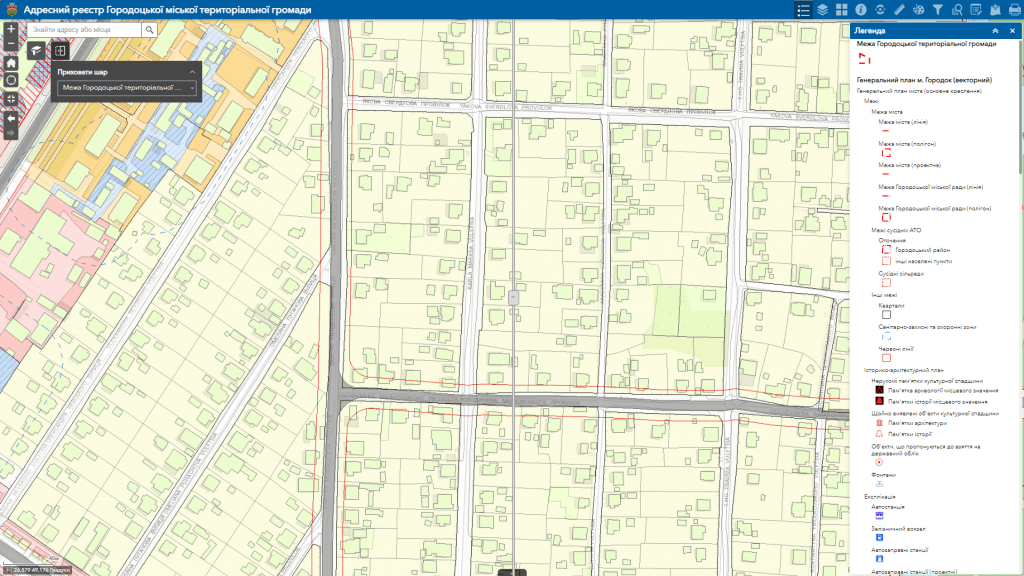
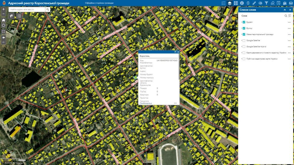
MagneticOne Municipal Technologies provides services of digitization (vectorization) of cartographic materials of various complexity with the creation of an attributive database related to graphic objects.

Digitization is the process of translating objects displayed on physical or scanned paper maps into appropriately placed points, lines, and polygons in a geographic information systems environment. Digitization is slightly different from scanning, which is an automatic or semi-automatic process of converting an entire map into a digital format. The result of the service is a vector cartographic image, which serves as the foundation for creating a full-fledged geographic information system.

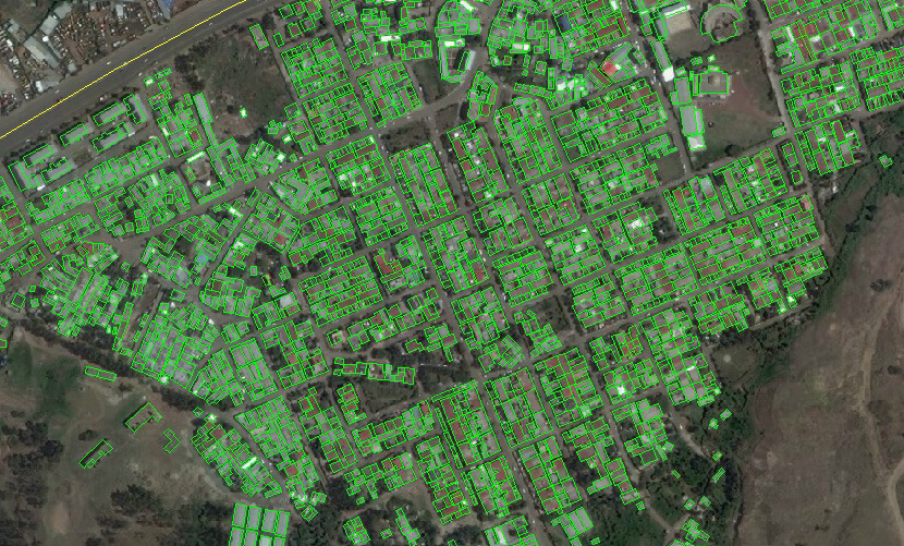
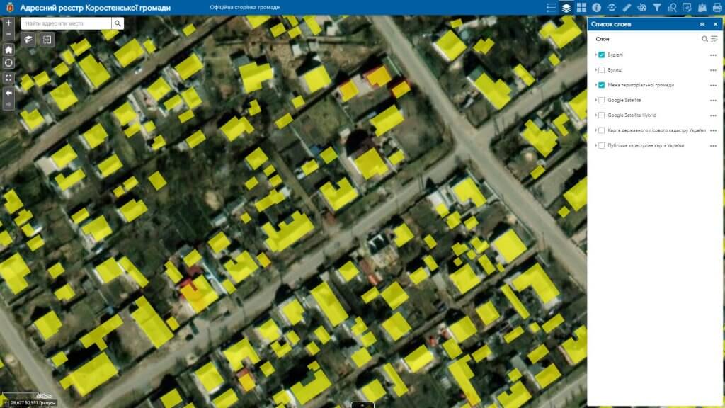
When digitizing maps, plans, aerial photographs, points, lines and polygons are automatically converted into vector data either with the help of complex software, or are translated in a semi-automatic mode by a responsible specialist (technician, cartographer). Thanks to the preliminary definition of the objects to be converted into vector format, a vector (digital) display of the selected data is created. Map digitization is a rather complex process that requires specialists who perform it, knowledge of all the intricacies of the work, extensive experience and appropriate software. Vectorization of the map allows you to refine part of the drawing: add or change and delete some elements as they are updated, without deleting the entire map.
We digitize modern and archival cartographic materials of various scales:

  • tablets of urban planning documentation on a scale of 1:500, 1:1000, 1:2000;
  • schemes of engineering networks of settlements on a scale of 1:500, 1:1000, 1:2000;
  • urban planning documentation (master plan materials: general plans and zoning schemes of settlements, detailed plans of the territory, historical and architectural plans, schemes for setting the boundaries of settlements);
  • land management documentation (schemes of unsoldering, crop rotation, land management projects, etc.) and cartographic materials of normative monetary assessment of settlements (maps of agro-production groups of soils, schemes of economic and planning zoning);
  • thematic cartographic materials (soil maps, forestry maps, maps of the ecological network, maps of cleaning and greening of the territory, etc.);
  • various scale topographic maps and plans, orthophoto plans, space photographs.

Advantages of using vector data:

  • reduction of material costs associated with updating and printing maps, compliance with the appropriate conditions for their storage (humidity, lighting, etc.);
  • digitized (vectorized) maps are saved on the computer as ordinary files;
  • release of premises where paper cartographic materials were previously stored;
  • vector data can be copied endlessly without loss of copy quality;
  • quick editing and updating of data on the map;
  • quick exchange of information and relevant databases;
  • access to electronic maps from a gadget (smartphone, tablet, etc.) and at any time;
  • ease of reading an electronic map, operating with vector layers of the map, fast search in large volumes of spatial information;
  • vectorization of maps has the opposite effect – if necessary, creating a paper copy takes very little time.

We digitize the following categories of objects:

  • land relief;
  • hydrographic objects, forest and soil cover;
  • objects of built-up territories of settlements;
  • engineering networks (water supply, drainage, gas pipelines, heating networks, power networks and others);
  • roads and engineering and transport facilities;
  • vegetation and much more.

Cost and terms of service:

MagneticOne Municipal Technologies uses specialized cartographic software in its activities, thanks to which the digitization of cartographic material is carried out with a guaranteed high quality and in a precisely stipulated time with the customer.