
Agriculture and food systems
From field and resources to industry management solutions
The platform connects lands, soils, crops, weather, production, infrastructure and markets for agricultural sector monitoring, risk assessment and development planning.
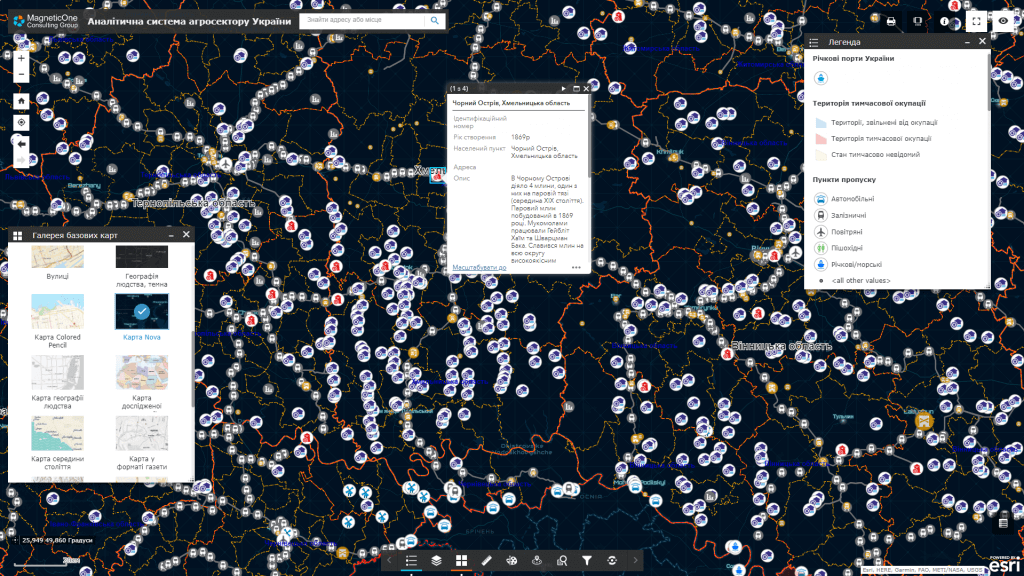
For which management decisions
Agri Intelligence creates a coherent picture of agricultural production at the level of the state, region, community or farm.
Production structure
Placement of cultures, farms, storage and processing capacities and their dynamics.
Crop risks
Weather anomalies, soil condition, moisture deficit, erosion processes and other territorial factors.
Food security
Balance of production, processing, stocks, logistics and needs by territory.
Investments
Search for development zones taking into account resources, infrastructure, markets and constraints.
What data does the system combine
The list of sources is determined during the discovery stage. The system can combine spatial, registry, statistical, documentary and operational data without public disclosure of information with limited access.
Land and soils
- boundaries and use of plots
- types, properties and condition of soils
- crop rotations and field history
Observation
- satellite indices
- weather and agrometeorology
- field surveys and sensors
Production
- crops, areas and yields
- livestock and feed resources
- storage and processing
Economics and logistics
- prices and market indicators
- roads, elevators and terminals
- export and domestic flows
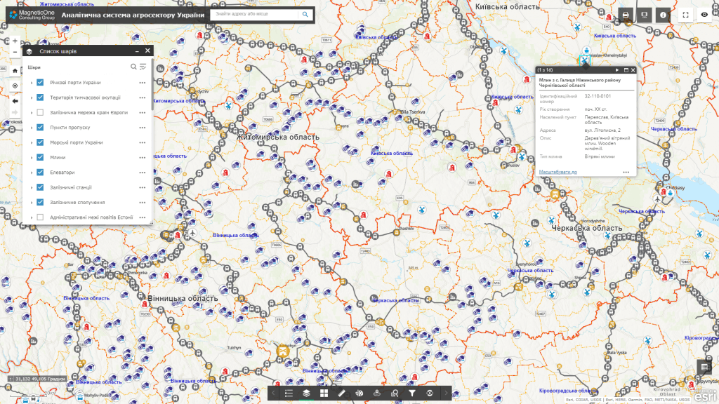
Key analytical modules
The platform combines cartographic, temporal and comparative analytics, preserving the provenance and relevance of each indicator.
Agricultural map
Fields, cultures, farms, soils, infrastructure and profile territorial layers.
Season monitoring
Vegetation dynamics, weather conditions, deviations and areas requiring attention.
Balance and logistics
Production, storage, processing, transport availability and product flows.
Program analytics
Territorial support planning, coverage assessment and results monitoring.
How implementation works
We define management tasks, users, available data and access requirements.
We agree on classifiers, indicators, integrations, quality rules and updates.
We configure priority maps, panels, analysis scenarios and user roles.
We connect new territories, sources, modules, reporting and support.
Usage levels
Architecture can be formed for a national level, a ministry or public agency, a region, a municipality or an individual organization. Each level gets its own set of data, powers, indicators and reports.
National level
Industry picture, food safety and policies.
Region
Specialization, risks and infrastructure needs.
Municipality
Land resources, producers and local projects.
Economy
Fields, season, resources and operational planning.
Related solutions and services
The platform can work as an independent analytical system or as an add-on to existing registers, geoportals and industry systems.