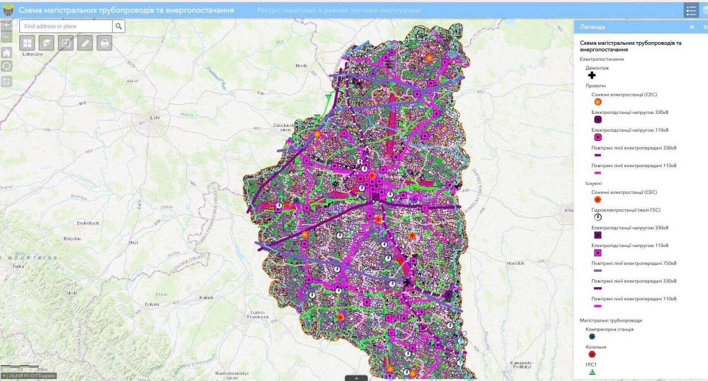
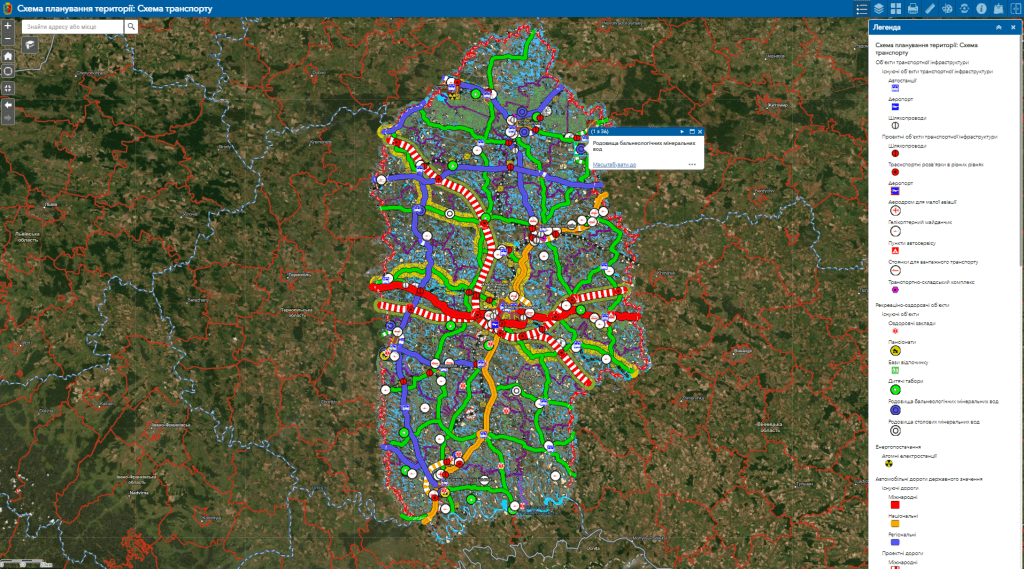
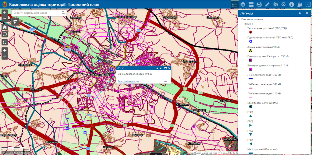
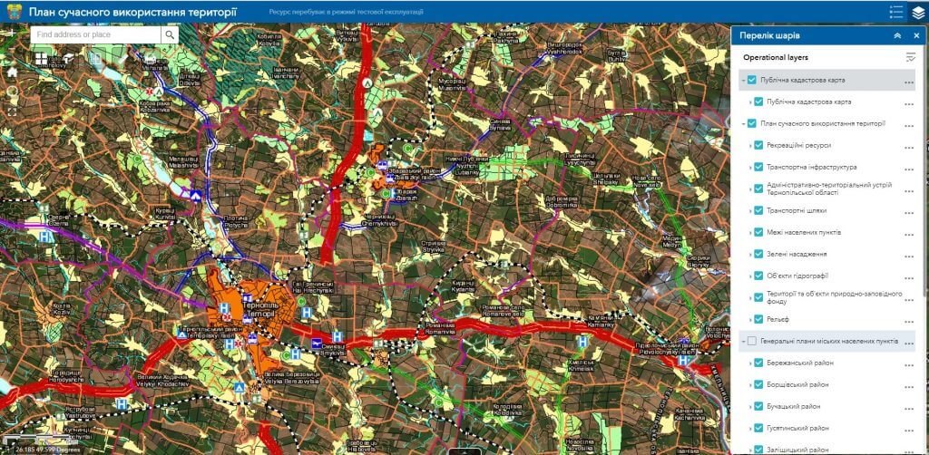
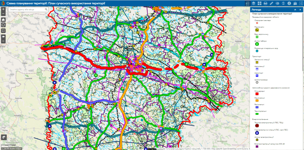
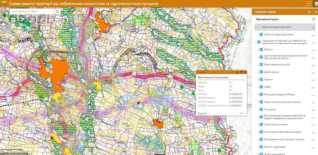
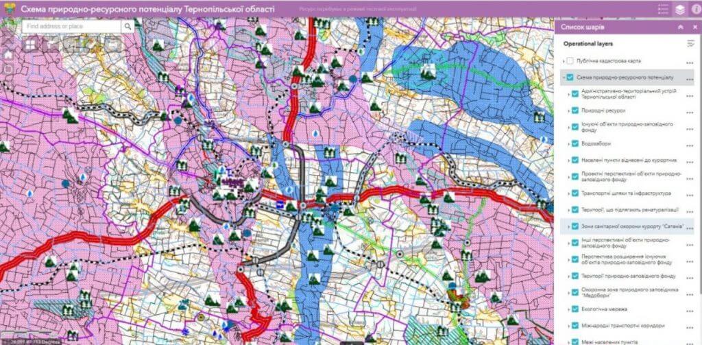
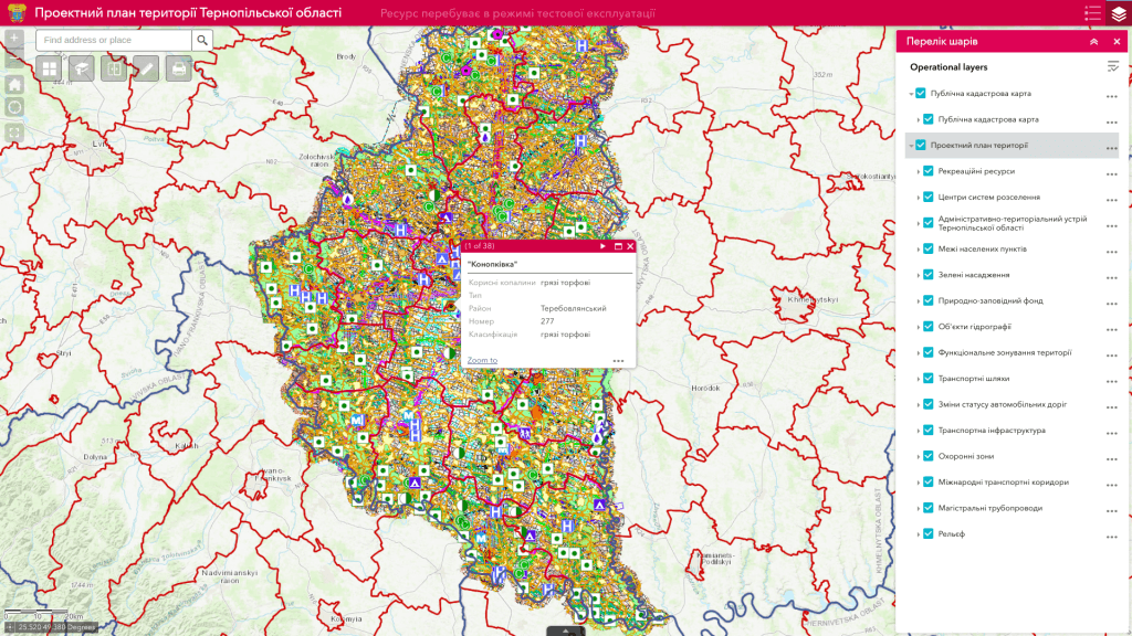
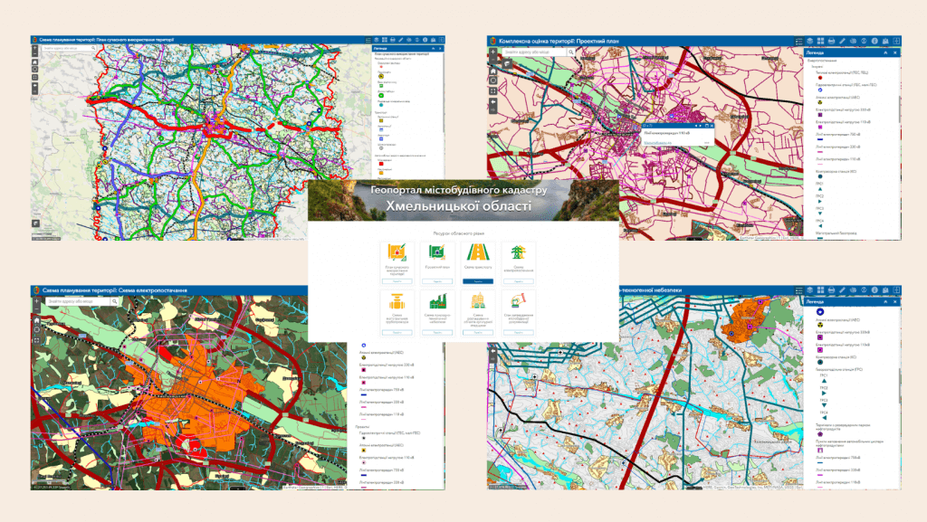
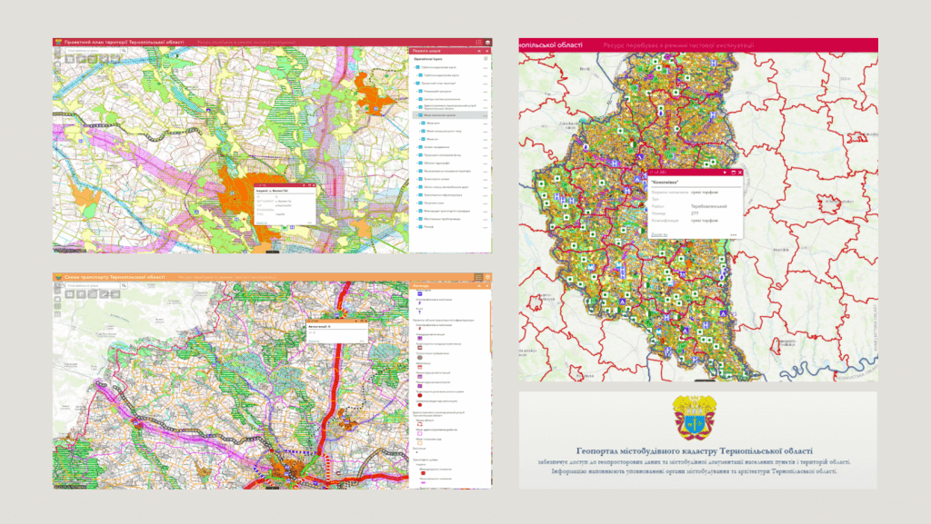
Geoportal of the urban cadastre of the region– a cartographic Internet resource that serves as a single point of access to a large number of urban planning documentation, contains a system of tools for viewing and searching for urban planning information, their visualization, downloading and distribution. The product is designed to provide state authorities, local governments, legal entities and individuals with reliable information necessary for the implementation of urban development activities in the region.
Normative and legislative grounds for the development of the urban cadastre geoportal at the regional level.The legislative basis for the creation of the Geoportal is:
- Resolution of the Cabinet of Ministers of Ukraine “On the Urban Planning Cadastre” of May 25, 2011 No. 559,
- Law of Ukraine “On Regulation of Urban Planning” dated February 17, 2011 No. 3038-VI,
- Law of Ukraine “On the National Infrastructure of Geospatial Data” dated August 20, 2021 No. 554-IX.
- Law of Ukraine “On Amendments to Certain Legislative Acts of Ukraine Regarding Ensuring Civil Protection Requirements During Planning and Development of Territories”.
The basis for the creation of the Urban Cadastre Geoportal is the standards approved at the state level, which correspond to European norms in the information field (INSPIRE directive).