
Analytical system of technologies and telecommunications– the cartographic platform is intended for carrying out technical accounting and certification of existing telecommunication networks, ensuring the functioning of the customer’s automated information systems with technical and system software tools, administering and guaranteeing the operation of the equipment of automated workplaces and providing information and analytical support. With the help of a web map, it is possible to plan cyber protection and information technology security measures in information and telecommunication systems.
Analytical system of technologies and telecommunications
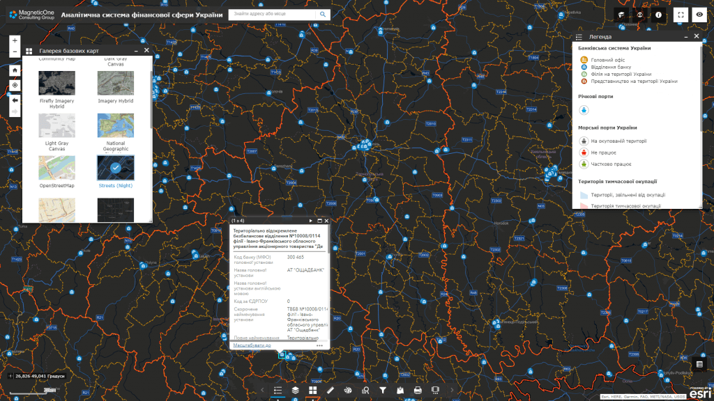
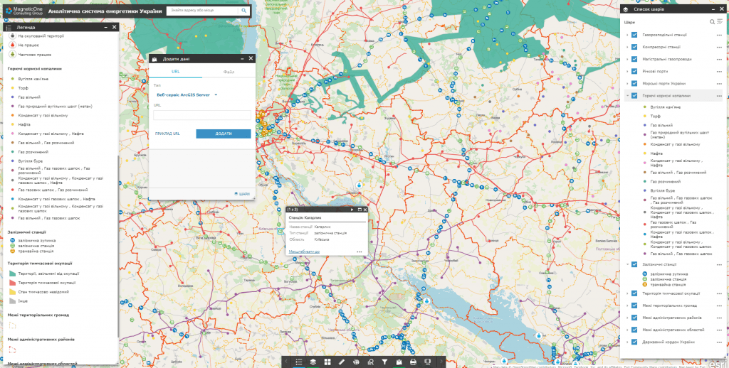
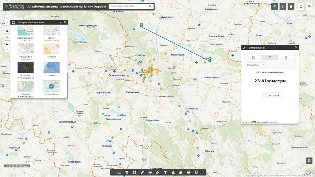
Features of the geoinformation system:
- deployment of the system includes supplying the customer with hardware and software, filling databases, training specialists to keep the system up-to-date, technical support;
- the software has an intuitive interface, the software is built on the basis of modern geo-information technologies;
- the system interface includes a control panel for data sets, separate map resources, layers of spatial information, etc.;
- system support does not require programming knowledge, there is no need to keep programmers in the customer’s staff;
- building new system modules and connecting new users does not require additional software development;
- information is stored on the server and in the database, therefore maximum security is achieved, including data with limited access;
- regulated access to information resources thanks to the assignment of roles to system users (administrator, operator, editor);
- display on an interactive map of the spread of high-speed data transmission technology over fiber-optic communication lines.
Capabilities of the geoinformation system:
- images on a digital map of objects and areas of telecommunication infrastructure in the mode of combining with cartographic services (Google Maps, Bing Maps, Open Street Map, etc.);
- performing an automated search for information and a detailed view of data on objects and areas of the telecommunications network (for example, mobile coverage, Internet coverage, wireless telecommunications, etc.) in the mode of combining with popular map services;
- obtaining comprehensive information about the state of telecommunication network coverage of a specific region or territory;
- image of information on the spread of digital wireless networks;
- operational inventory of transmitters, receivers and communication channels;
- display on one interactive map of the coverage of various types of radio communication: DX-, SC-, KX- and VHF-communication without the use of repeaters, satellite communication, radio relay communication, cellular communication, trunking communication.
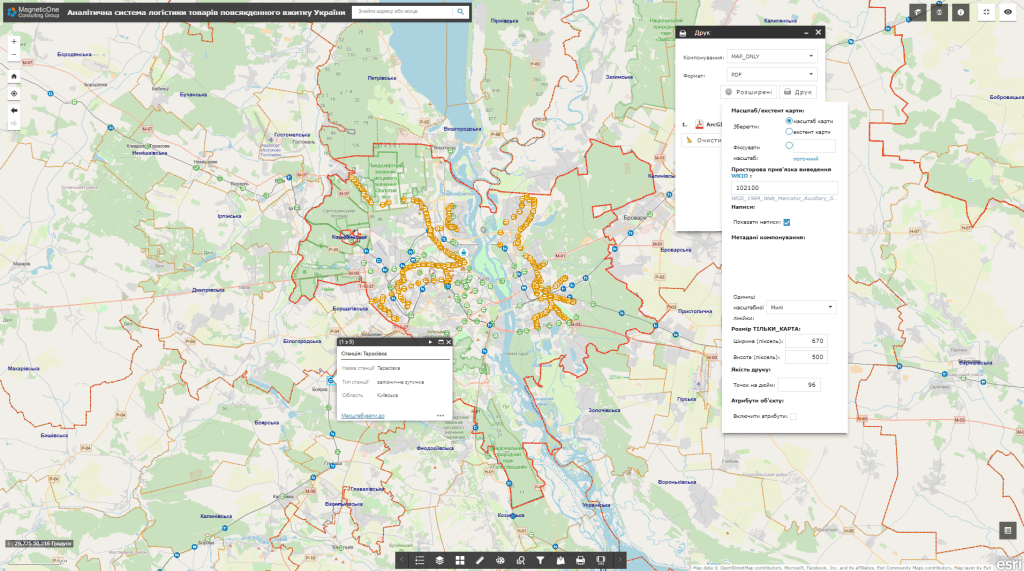
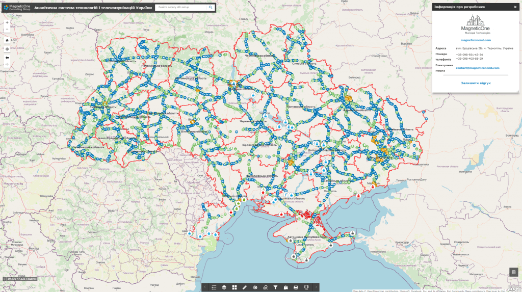
A set of layers of the geographic information system:
- mobile phone and internet coverage:
- 3G
- 4G
- 5G
- communication channels;
- transmitters and multiplexes;
- modulation;
- telecommunication networks:
- analog;
- digital;
- television:
- cable;
- satellite;
- digital;
- enterprises and organizations, the main providers of services in the field of technology and telecommunications.
A typical structure of a geographic information system:
- database of cartographic information (display of objects and areas of telecommunication infrastructure);
- a subsystem of operational survey of the state and zones of the telecommunications infrastructure;
- subsystem of monitoring and registration of appeals;
- subsystem of accounting and management of telecommunication infrastructure.
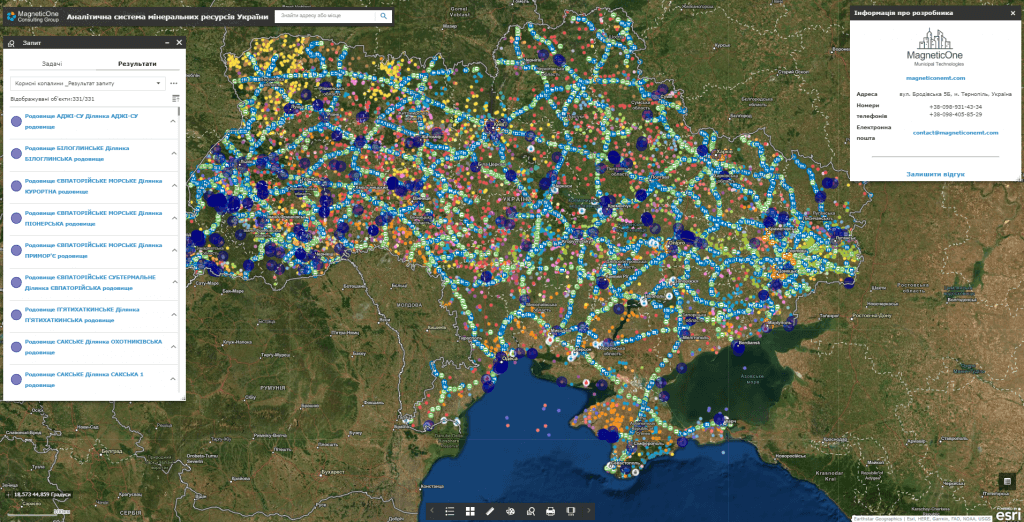
Cost and terms of development:
MagneticOne Municipal Technologies provides a full range of services related to the development of a geoinformation system of technologies and telecommunications, namely supply, installation and configuration of hardware and software, filling the system with data, training specialists, technical support and support of the geoinformation system. Development terms are agreed upon additionally.
Tell us about your project and our specialists will suggest the appropriate implementation format.
Next step
Let us discuss an analytical system for your objectives
We will clarify users, data sources, required modules, integrations and delivery format, then propose a clear implementation plan.