Forming a site plan of the settlement

The MagneticOne Municipal Technologies company together with its partners provides services on forming a site plan of settlements.

The site plan is a document that contains vital information about the settlement since it is the main type of urban planning documentation for the territory of the settlement, intended to justify (develop and implement) the long-term policy of the local self-government body on the issues of usage and development of the territory. Basically, a site plan is the main planning document that establishes, under due consideration of the interests of the citizens and taking into account state tasks, directions and boundaries of the territorial development of the settlement, functional purpose and the construction zoning of the territory. Site plan contains basic decisions on placement of objects of the city or settlement value, the organization of street and road network and traffic, engineering equipment, engineering preparation and improvement, protection of the territory from dangerous natural and man-made processes, protection of natural, historical and cultural heritage, the priority of territory development.
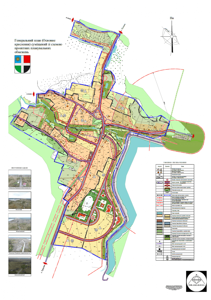
The importance of availability of site plans for the residents is difficult to overestimate, because it is awareness of citizens of their own settlement that is the first step in their active participation in solving its problems. Open access to the full version of site plans, formed on a legislative basis, can also help future investors to understand business opportunities of the city, and new residents – to understand the level of convenience of the area for living.

Створення генерального плану

A team of certified land surveyors, engineers geodesists and architects of company MagneticOne Municipal Technologies and partner organizations have rich experience in forming settlements site plans of different sizes, consideration and approval of urban-planning documentation. Employees of the company provide a full range of services from the operative calculation of work cost at the stage of the pre-project study of documentation to defend the site plan at public hearings. As a result of getting a site plan, it’s becoming possible to solve a whole range of needs the settlement may have: road planning, attracting investors, planning new construction areas, etc.

Drawing-up the site plan of the settlement takes place in several stages, at which will be carried out:

  • collection of outgoing data, the formation of development tasks;
  • development of existing settlement plan (supporting plan), historical and architectural and historical and urban building plans, schemes of planning restrictions, explanatory notes (characteristic of current state), concepts of the site plan (within the development of this section as part of the site plan;
  • developing the main drawing of the site plan, an explanatory memorandum of substantiation and offers;
  • presentation of the main provisions of the site plan for publishing, public discussion, consideration and approval.

The general deadline for implementation of the site plan is set in the technical task.

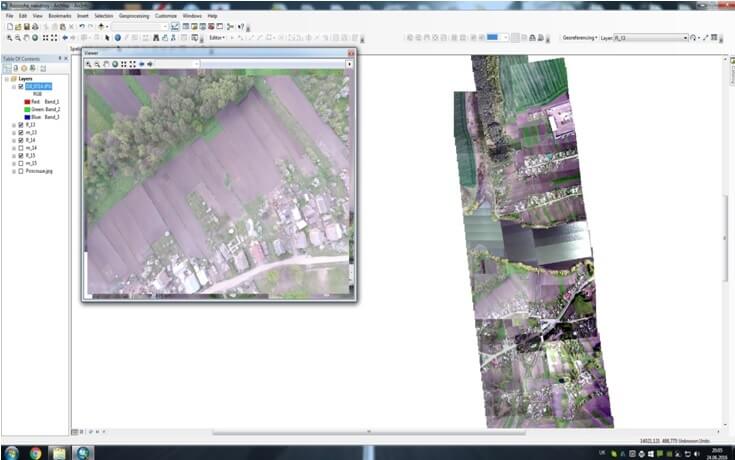
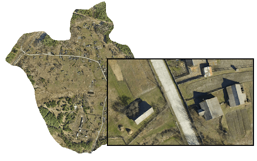
Implementation of tasks for of the site settlement plan development became possible thanks to the balanced cooperation of two structured units – topographic and geodetic laboratory as well as architectural and planning workshop. This method of work organization in the company allows to carry out all technical complex of works in short terms and ensure the high quality of the final product. Powerful hardware and technological base of the company (a professional quadcopter, licensed software) provides automated and semi-automated execution of the entire complex of topographic and geodetic as well as cartographic researches, with subsequent withdrawal of digital versions of site plans on paper carriers.

Коротка інформація

[contact-form-7 id=”10714″ title=”Форма партнерства”]


×