Creating an orthophoto plan

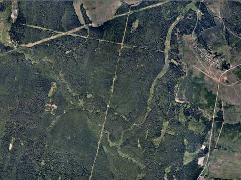
An orthophoto plan is a photographic plan of the area on a certain plot of land obtained by roadaerial photographyfollowed by image transformation using orthotransformation methods. In other words, it is a photographic map of the area, glued together from a large number of pictures taken vertically down from a given height, which makes it possible to reproduce the earth’s surface as faithfully as possible.

Based on the images obtained from the drone, the MagneticOne Municipal Technologies team forms an orthophoto plan with the accuracy and in the coordinate system that is necessary for the project. Orthophotoplans are used to create topographic maps and plans, land inventory, capital construction objects, and more.

To obtain an orthophotoplane, each source image is transformed in such a way as to remove distortions caused by the terrain and the way the image was obtained. As a result, each image is reduced to a plan projection, in which each point of the terrain is observed clearly vertically. And then the set of images is turned into a single picture.
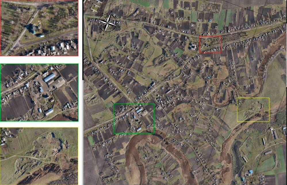
An orthophoto plan is indispensable for creating cartographic materials and determining the coordinates of objects, when conducting engineering searches and performing cadastral works. Not so long ago, the initial cartographic information for its creation was obtained with the help of analog cameras installed on airplanes. And it was quite expensive. While drones determine coordinates with an accuracy of several centimeters and shooting depends on weather conditions to the smallest degree.

Thus, the use of drones allowssignificantly reduce costs foraerial photography, and the main thing is to achieve a multifold improvement in quality.

How is the process of creating an orthophoto plan?

  1. Preparation.

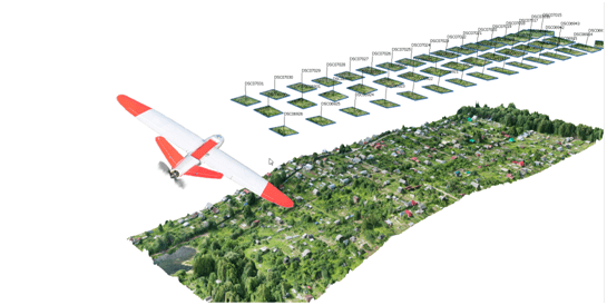
At this stage, the collection and study of information about the research object is carried out. The route is drawn up by drones, the coordinates of control points are determined and they are fixed on the terrain using equipment. The optimal height and speed of the drone is selected, taking into account the parameters of the overlap and the size of the territory.

  1. Aerial photography.

According to the flight task, the drone takes photos of the terrain in automatic mode. For this, an optical or special spectral camera is used. The resulting set of photos, after the necessary processing, becomes the basis of the orthophoto plan with reference to the coordinates on the terrain.

  1. Processing of received data.

All received data are imported into a special photogrammetric program and processed, starting with the construction of a coordinate system and a dense cloud of points and ending directly with the construction of an orthophoto plane. The results are provided as files in *.jpg, *.dng, *.cdr, *.tiff and many other formats.

What will you get?

Orthophotoplans created with the help of drones are characterized by high visual informativeness. They will be an excellent help in the work of construction and engineering organizations, for geodetic works, for the benefit of geologists, ecologists, and zoologists.

Solving such problems:

  • cadastre and land management;
  • updating maps;
  • municipal administration;
  • territory monitoring;
  • architecture and construction;
  • geological works;
  • project research works;
  • creation of a map database for various applications.