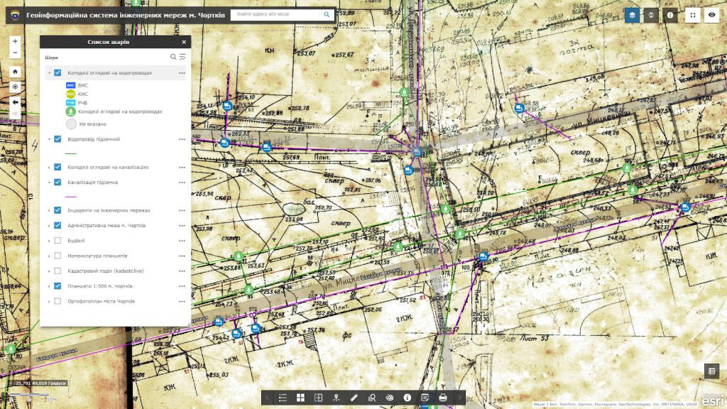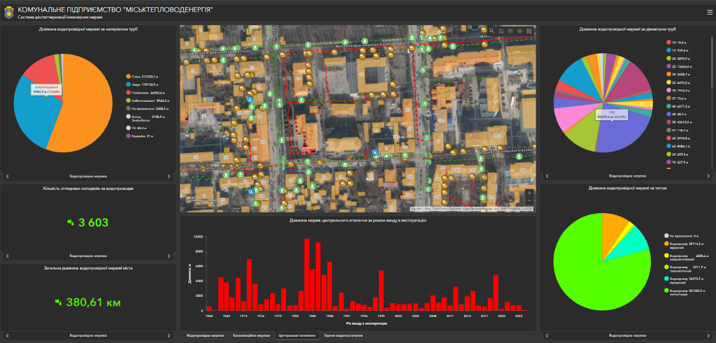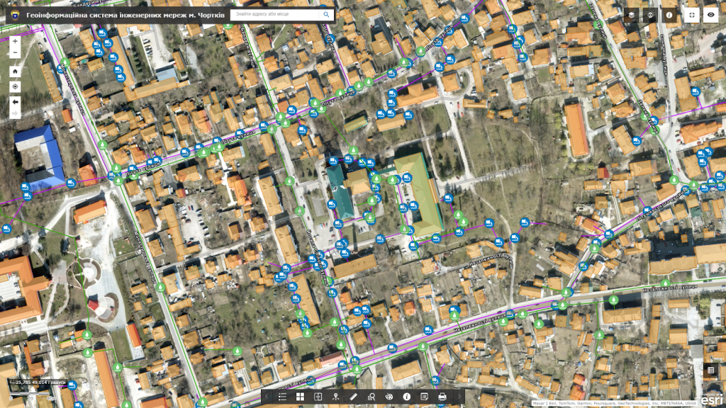
Geoinformation system (GIS) of gas supply engineering networksis a module of the geoinformation system of the territorial community (utility enterprise), designed to save, accumulate and display information about the city’s engineering infrastructure.
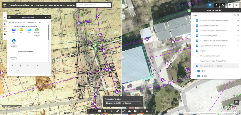
The software complex provides the user with a wide set of tools for creating, filling and editing electronic maps, carrying out engineering calculations of relevant gas supply networks, developing plans for the organization of work during planned and emergency shutdowns, creating route maps for maintenance by the bypass method, accounting and planning the operation of underground gas supply networks.