
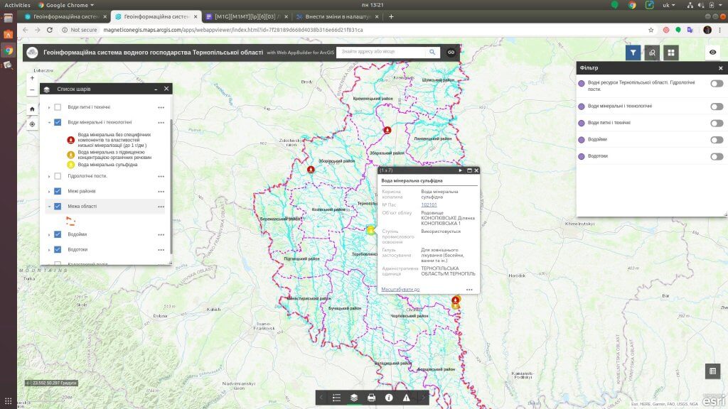
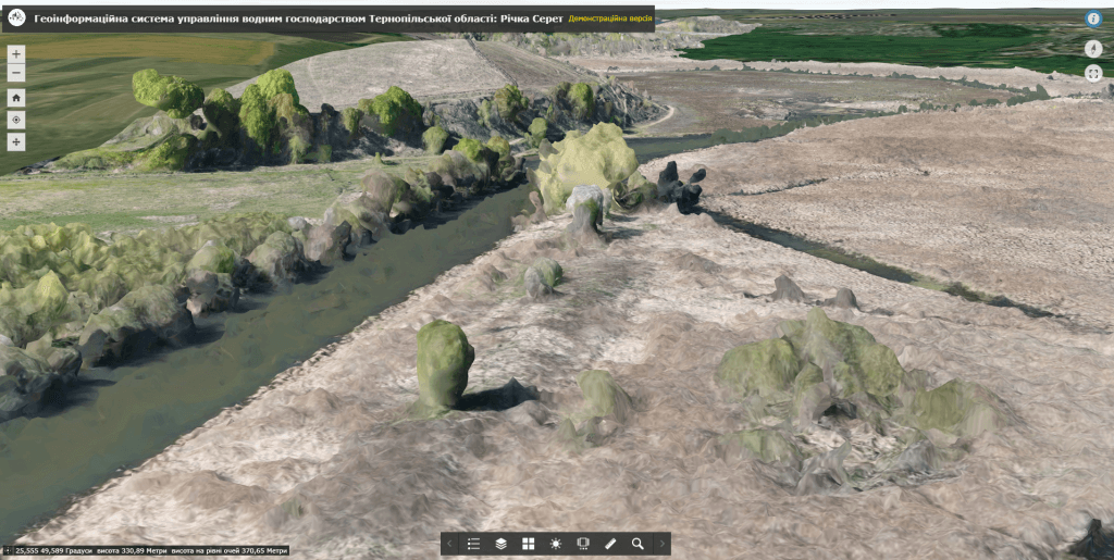
Geoinformation system of water resources managementis a module of the geoinformation systemregion /community, which is intended forsaving, accumulating and displaying informationAveabout water resources (rivers, canals, lakes, ponds, reservoirs, swamps, etc.), registration of water users, as well as keeping records of water use.The implementation of the geoinformation system makes it possible to facilitate and automate the work, to significantly expand the use of topographic and thematic maps, which contain a large amount of information necessary for the analysis of the hydrological regime of water bodies.
Geoinformation system of water resources management
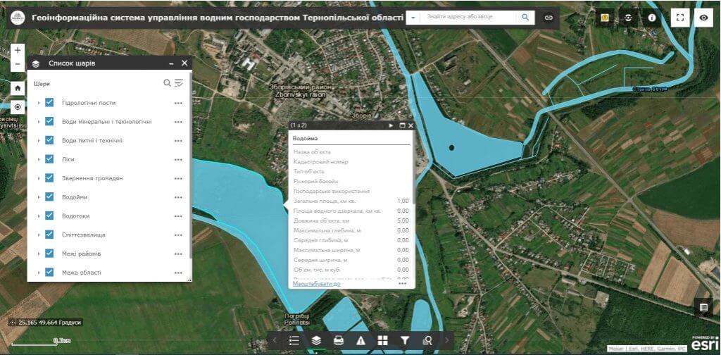
Solve the issue of effective management of water resources by using cartographic and aerospace information, obtain quantitative and qualitative information about water bodies that are not available during field surveys or measurements. Get instant access to data using mobile devices. Introduce an automated information system to promptly provide state bodies, enterprises, institutions, organizations, and citizens with the necessary data on the region’s water resources.
Features of the geographic information system (GIS):
- the most complete set of functions: map navigation, data editing, operation of vector map layers, spatial analysis, address search;
- ease of search, quick updating and editing of the database;
- constant readiness for work;
- withprotection of information from distortion and unauthorized access.
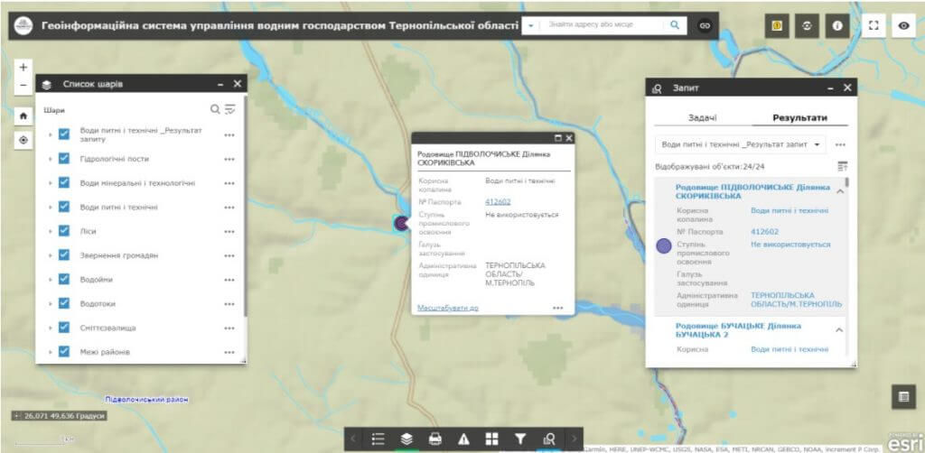
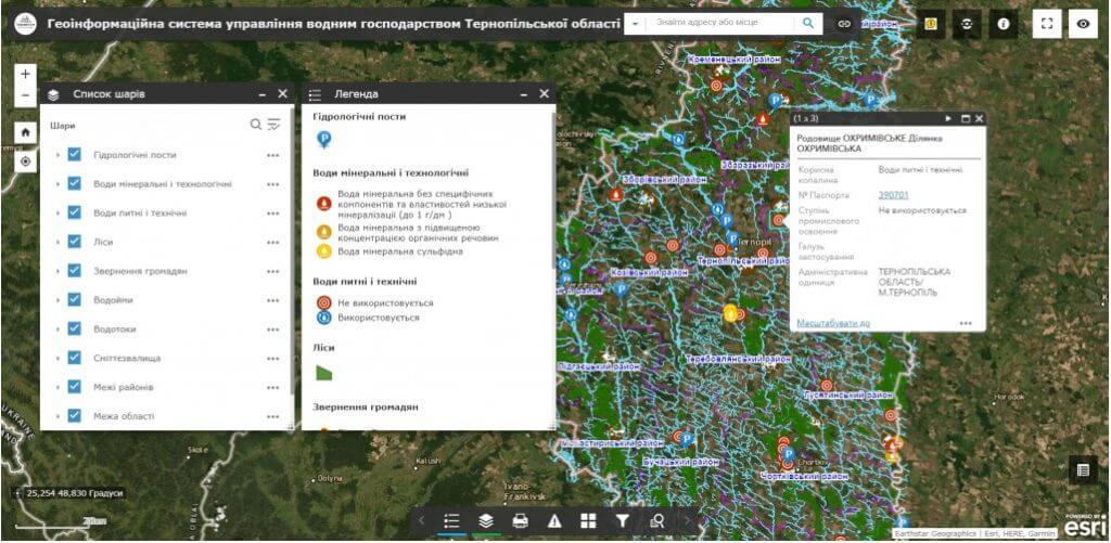

The geoinformation system of water resources management is a management tool for authorities and the community:
- get a flexible platform for analysis, systematization and storage of data on water and water management objects, water resources, their mode and quality, nature of water use, information of water users, terms of validity of lease agreements;
- plan measures to increase the efficiency of water management systems;
- monitor the state of water resources and their use regimefor rational use and protection of water;
- implementation of certification of water objects, raising the competitiveness of the local economy and increasing incomes by accounting for water management objects;
- implement an interactive platform for detailed display and familiarization of potential investors with investment objects (water resources).
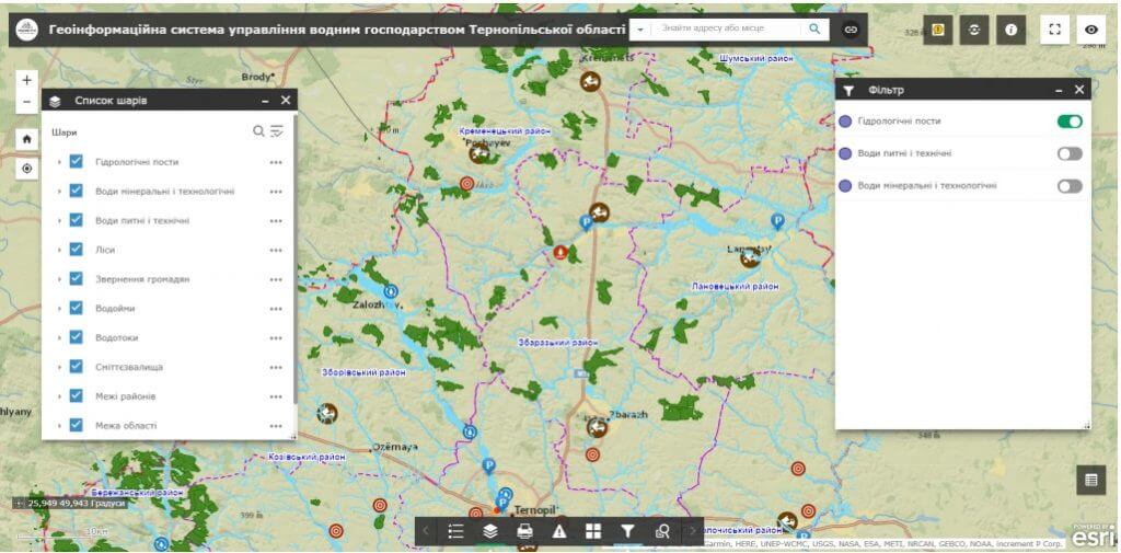
Geoinformation system modules and layer structure:
- digital water resources map visualization subsystem in combination with cartographic services (Google Maps, Bing Maps, Open Street Map, etc.), digital topographic basis (digital topographic plan, orthophoto plan, etc.), and land management documentation (Public cadastral map of Ukraine);
- a subsystem of the registry, accounting and management of water facilities (ponds, reservoirs, etc.) with detailed information about their purpose, the tenant, the term of the lease agreement, etc.;
- the subsystem of monitoring surface water polluter enterprises and the state of surface water;
- a subsystem of operational inventory and certification of the state of water bodies using mobile devices in real time;
- subsystem for keeping records of wells and springs and their characteristics (type, depth of occurrence, exact coordinates, mineral composition of water, etc.);
- a subsystem for visualization of water protection and coastal protection zones with an indication of the nature of restrictions, modeling of flooding zones, etc.;
- a subsystem of analytical reports on key indicators of water use in the region / community.
The cost and terms of development of a geoinformation system
MagneticOne Municipal Technologies provides a full range of services related to the development of a geoinformation system for water resources management, namely the supply, installation and configuration of hardware and software, filling the geoinformation system with data from the relevant state registers, training the customer’s specialists, technical support and support of the geoinformation system. Development terms are agreed upon additionally
Services that precede the creation of GIS
- Consulting
- Scanning maps and documents
- Georeferencing cartographic materials
- Digitization
- Geospatial database population


