
Analytical system of logistics of everyday goods– is a cartographic web resource designed for accounting, certification and optimization of logistics operations that ensure maximum satisfaction of consumer demand for everyday goods. In economic practice, new methods and technologies of delivery and distribution of everyday goods are widely used, which are primarily based on the concept of an analytical logistics system.
Analytical system of logistics of everyday goods
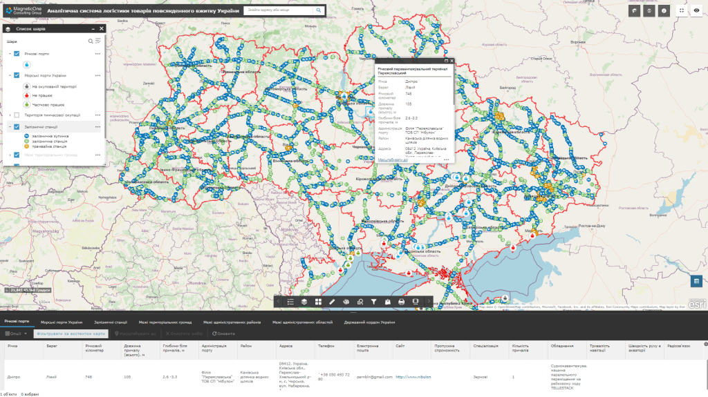
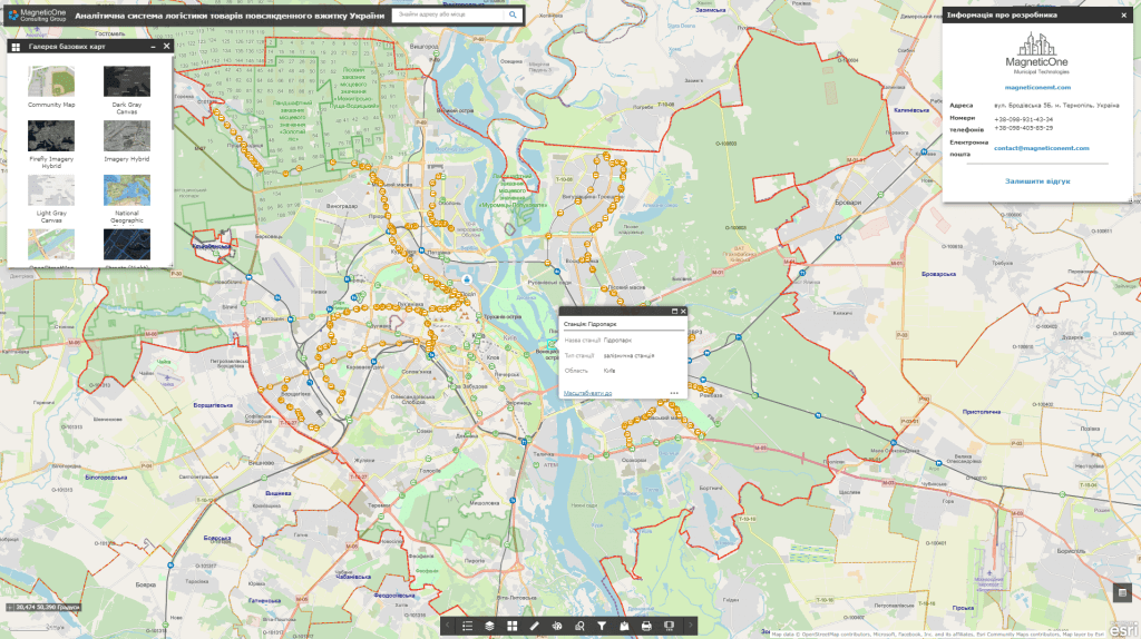
Features of the analytical system:
- availability of tools for displaying and optimizing logistics routes using mobile technologies in real time;
- availability of a subsystem of citizens’ electronic appeals and a platform for their prompt analysis;
- provision of the function of information support of local self-government bodies when making decisions in the field of logistics of everyday goods, risk management, automation of reporting on the results of work in this direction;
- system support does not require programming knowledge, there is no need to keep programmers in the customer’s staff;
- building new system modules and connecting new users does not require additional software development;
- information is stored on the server and in the database, therefore maximum security is achieved, including data with limited access;
- regulated access to information resources thanks to the assignment of roles to system users (administrator, operator, editor).
The analytical system of the logistics of everyday goods implements the newest concept of maintaining and analyzing spatial data in order to optimize logistics operations:
- store and display complex spatial information about transport routes (network of highways, railways, sea and river transport routes, main pipelines, etc.);
- carry out an automated search for information and a detailed review of data on transport infrastructure objects (for example, the boundaries of land plots of highway right-of-ways, technical parameters of sea ports, belonging to the type of railway, ownership structure, etc.) in the mode of combining with map services (Google Maps, OpenStreetMap, Bing Maps);
- comprehensively analyze the transport system of the region, district, country thanks to the inclusion in the display of the technical parameters of each type of transport (for example, the parameters of equality, strength, traction of the carriageway, geometric characteristics of highways: the number of traffic lanes, the width of the traffic lane, carriageway and shoulder);
- reduce costs for transport logistics by creating the necessary conditions for proper storage of goods, ensuring the sequence of their shipment and control over delivery.
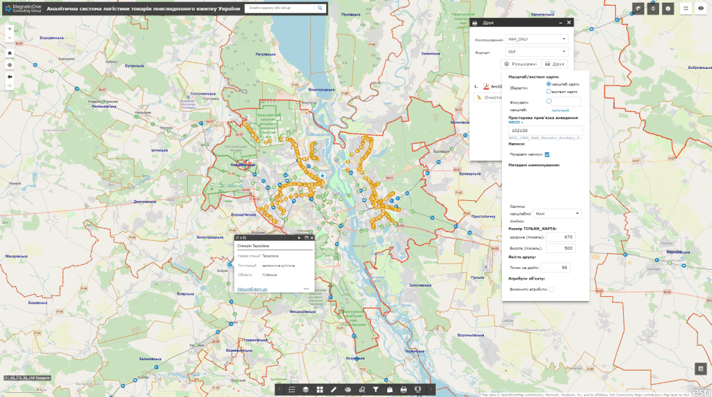
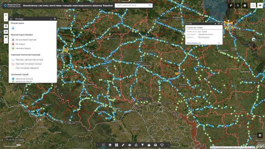
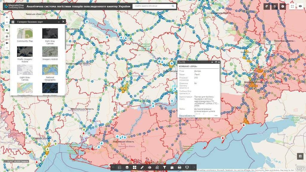
A set of layers of the analytical system:
- transport infrastructure:
- railway;
- highways;
- sea ports;
- river ports;
- border checkpoints;
- procurement logistics enterprises (related to the provision of materials for production);
- production logistics enterprises (aimed at increasing the organization and efficiency of the production process);
- enterprises of sales logistics (marketing or distribution logistics).
A typical structure of an analytical system:
- database of cartographic information (images of topographic and road maps, street maps, routes, orthophoto plans, etc.);
- a subsystem for fixing the condition of the road surface by means of mobile devices;
- subsystem of monitoring and registration of traffic accidents, carrying out repairs;
- subsystem of accounting and management of engineering networks, transport infrastructure, advertising media, etc.
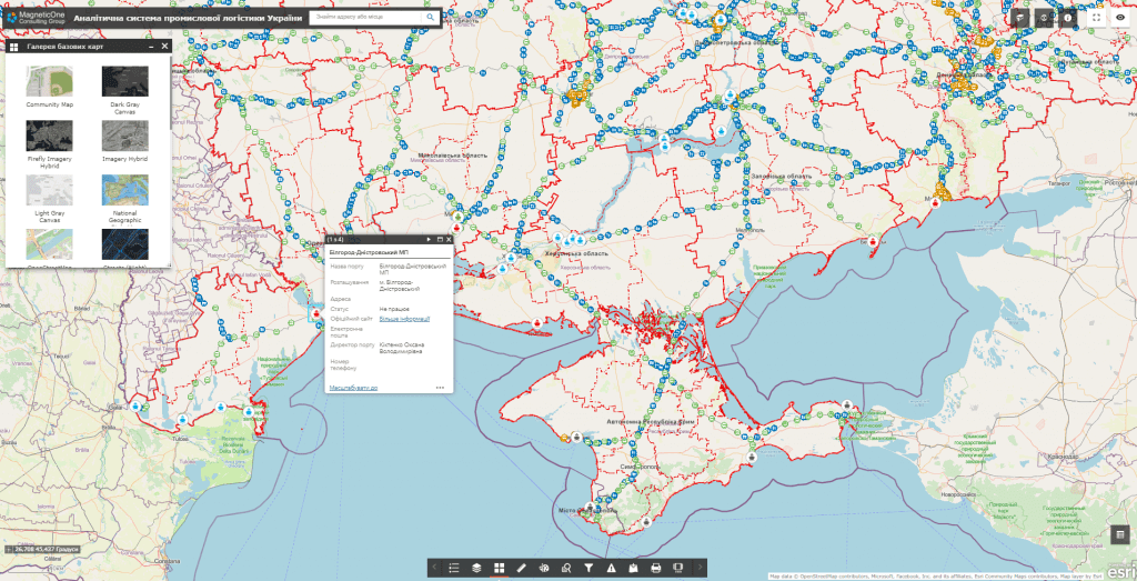
Cost and terms of development:
MagneticOne Municipal Technologies provides a full range of services related to the development of an analytical system for the logistics of everyday goods, namely the supply, installation and configuration of hardware and software, filling the system with data, training specialists, technical support and support of the geo-information system. Development terms are agreed upon additionally.
Next step
Let us discuss an analytical system for your objectives
We will clarify users, data sources, required modules, integrations and delivery format, then propose a clear implementation plan.