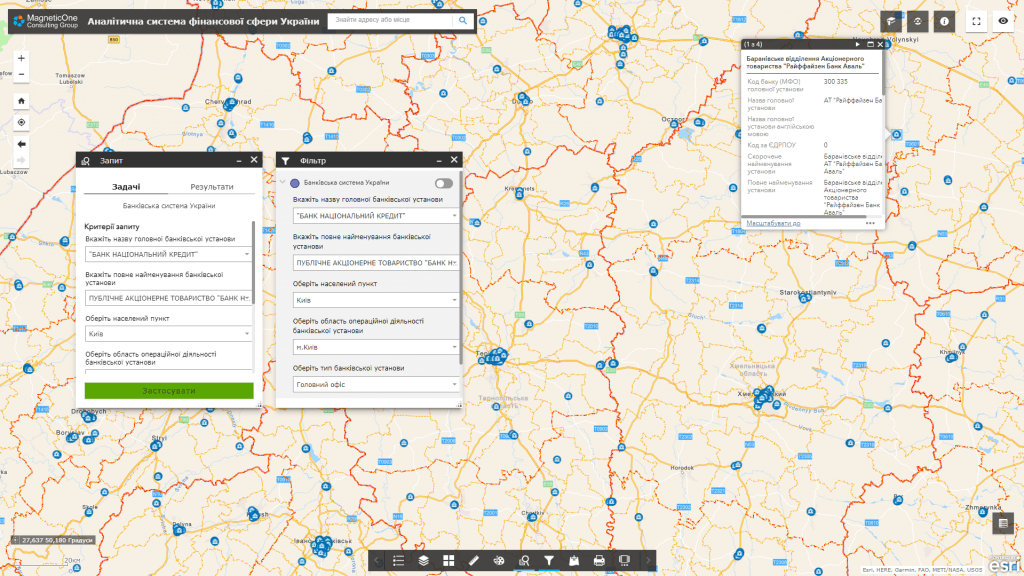
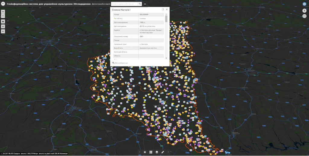
Geoinformation system for early response to risksis a tool that combines geographic data and information technology to identify and analyze potential threats and risks related to property management. This system allows you to quickly react to possible problems and make effective decisions to prevent them or reduce their negative consequences.
Geoinformation system for early response to risks

Benefits of implementation:
- quick identification of risks. The system allows you to identify potential risks and threats in real time or even before they occur, which allows you to manage the situation and prevent possible problems;
- reducing reaction time.The system allows you to reduce the reaction time to crisis situations and quickly take the necessary measures to eliminate them;
- effective decision-making.The analysis of geographic data and other parameters allows making reasonable and effective management decisions to reduce risks and maximize performance;
- optimization of resources. The system helps to optimize the use of resources, ensuring their efficient use and avoiding unnecessary costs;
- ensuring security.Quick detection of potential threats allows you to increase the level of security of property management facilities and prevent negative consequences.
Capabilities of the analytical system:
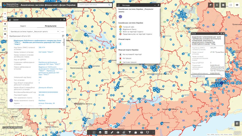
- visualization of current risks and the front line on an interactive map;
- the possibility of quickly obtaining information about the status of risks;
- analysis and display of the dynamics of changes in risks during a certain period;
- the possibility of comparing risks at different time intervals;
- integration with the DeepStateMap resource to obtain up-to-date geoinformation data on the current situation and risk dynamics.
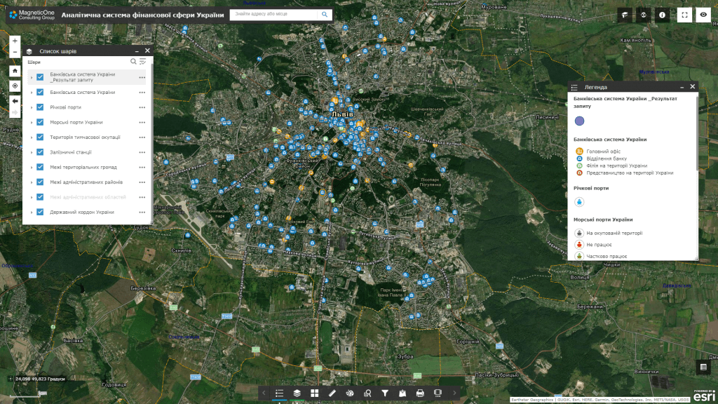
The early response system helps:
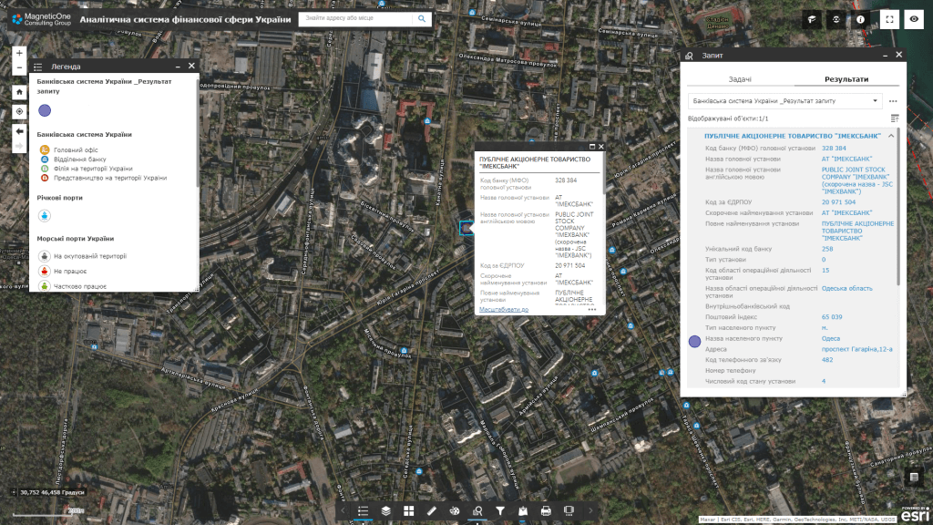
- financial institutionsmonitor the security of its branches, ATMs and other management facilities;
- chain storesto monitor the security of their facilities, identify potential risks;
- logistics networksto monitor the safety and efficiency of its warehouses, transport routes and other facilities;
- franchise networksmonitor the security of their franchise units.
Companies that haveextensive network of objectsproperty management, such as hotel chains, restaurant chains or travel agencies, can use the system to ensure the safety and efficiency of their facilities and services.
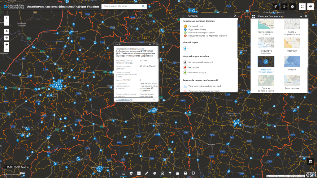
A set of layers of the geoinformation system of early response to risks:
- border of Ukraine;
- boundaries of administrative regions of Ukraine;
- boundaries of administrative regions of Ukraine;
- boundaries of territorial communities;
- infrastructure objects;
- data on the territory of temporary occupation;
- front line
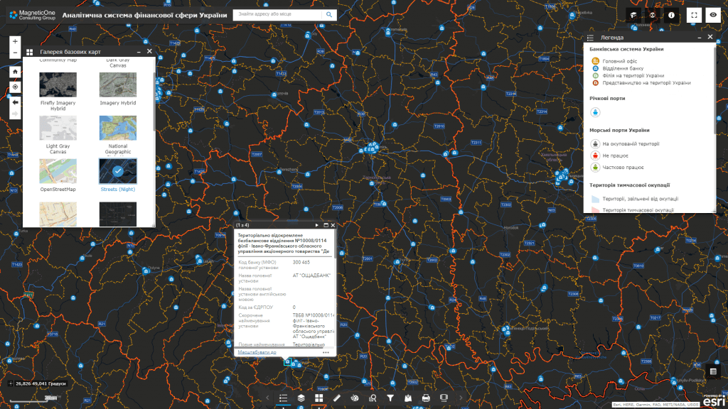
A typical structure of a geoinformation system
- visualization of current risks and the front line on an interactive map;
- operational accounting subsystem;
- subsystem of monitoring and registration of appeals.
The cost and thatroomand order fulfillment
MagneticOne Municipal Technologies provides a full range of services related to the development of a geoinformation system for early response to risks in the field of property management, namely the supply, installation and configuration of hardware and software, filling GIS data, training specialists, technical support and support of the geoinformation system. Development terms are agreed upon additionally.
Services that precede the creation of a geoinformation system for early response to risks in the field of property management
- Consulting
- Scanning maps and documents
- Georeferencing cartographic materials
- Digitization
- Geospatial database population