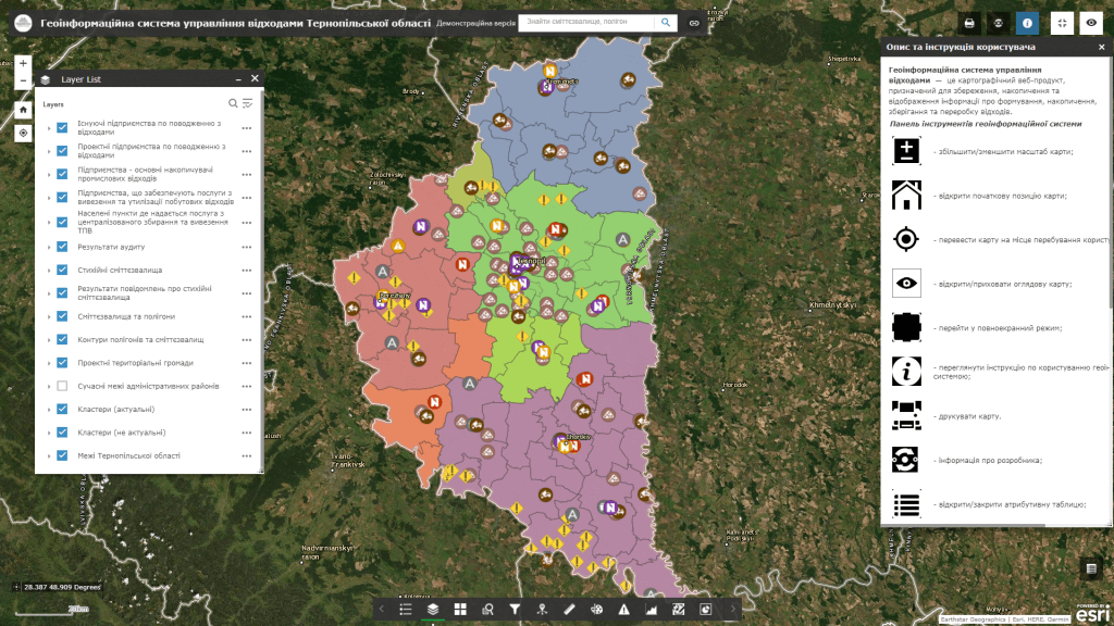
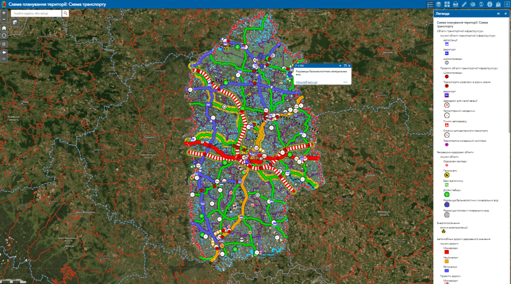
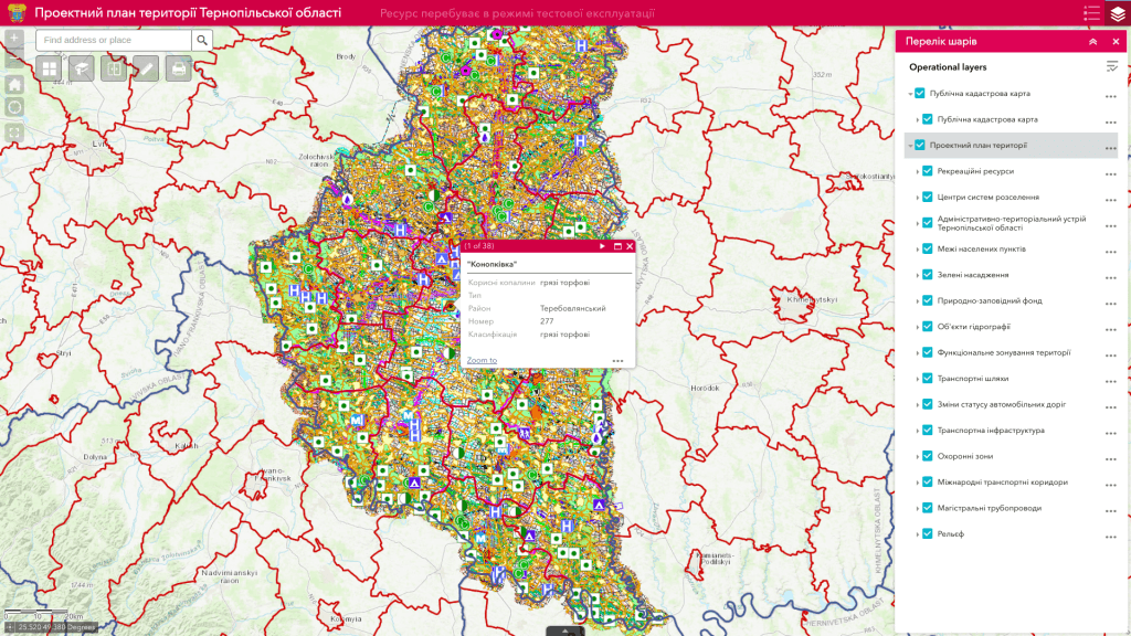
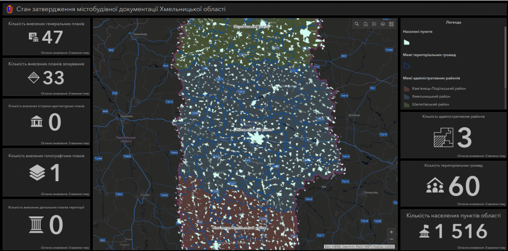
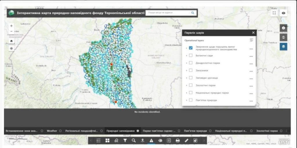
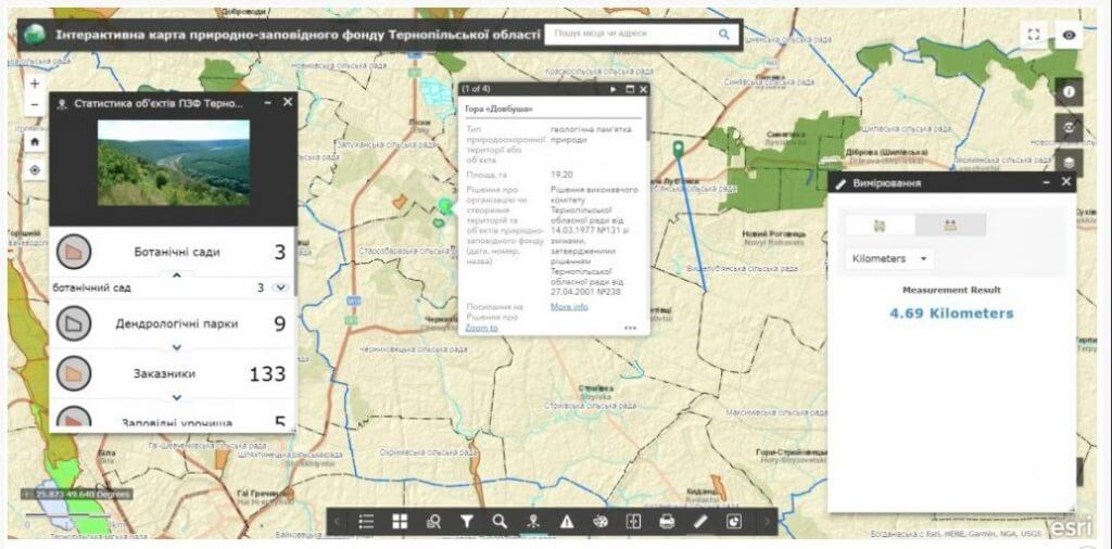
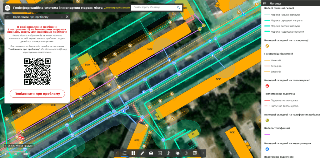
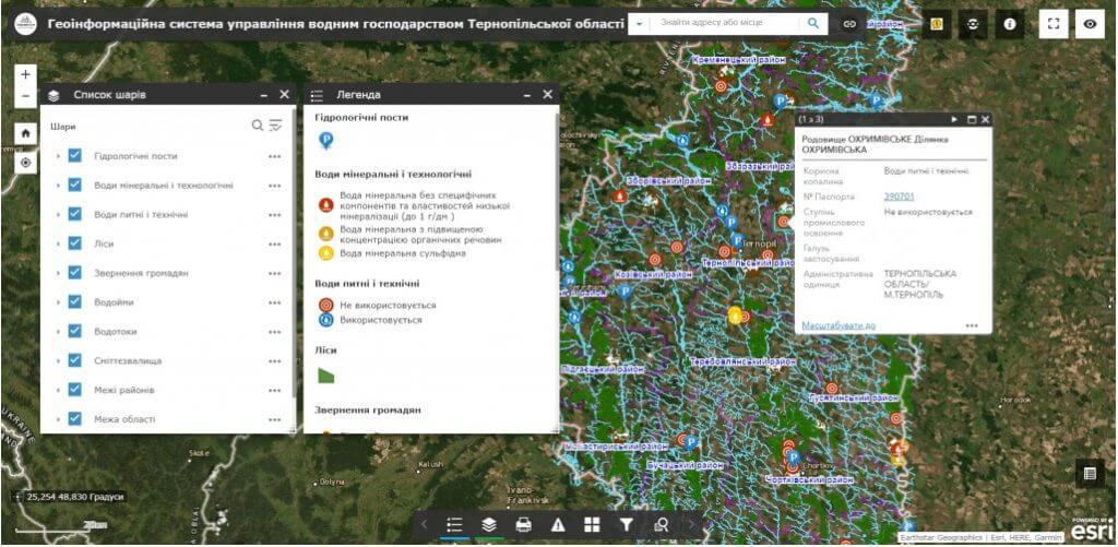
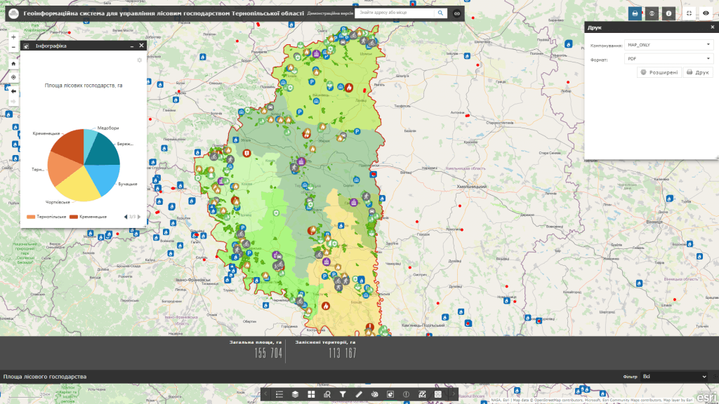
Analytical system of regional development– is an electronic cartographic information and analytical resource based on a geoinformation system that combines, stores and displays information and indicators from various spheres of life in cities, villages, territorial communities, and regions of the region. The main task of the system is information support in the field of solving practical tasks of accounting for natural resources (land, water, forest, mineral raw materials, energy, recreation), objects of engineering and transport infrastructure, tourism, etc., providing current analysis and comprehensive assessment of information about the state of objects critically important for the functioning of the region.
Analytical systemaimed at employees of state and local authorities, public organizations, research institutions, mass media and residents of the region. The resource allows comprehensive analysis of large volumes of data from all regions of the region about the population, budget, water and forest resources, indicators of economic development, planned repair works, transport infrastructure, health care, safety, culture, administrative services and control construction by visualizing them with the help of interactive maps, diagrams, graphs and widgets.