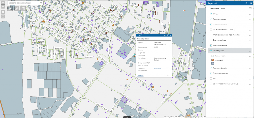
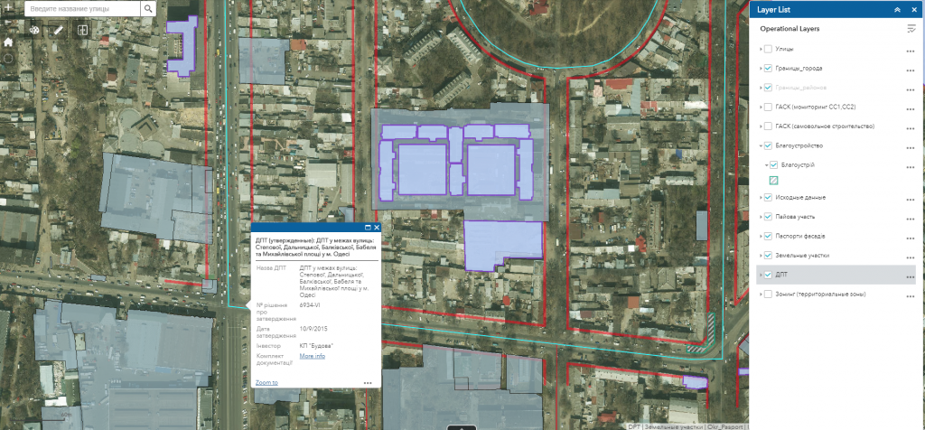
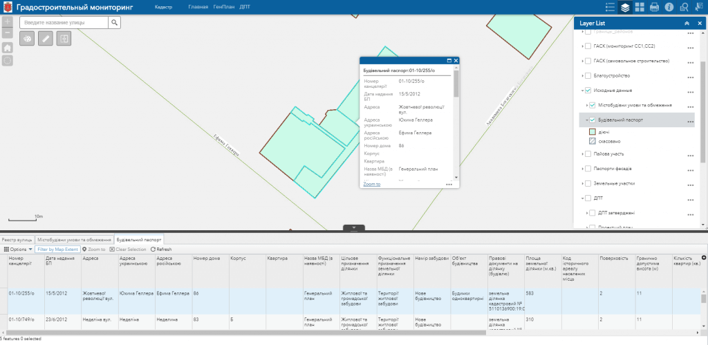
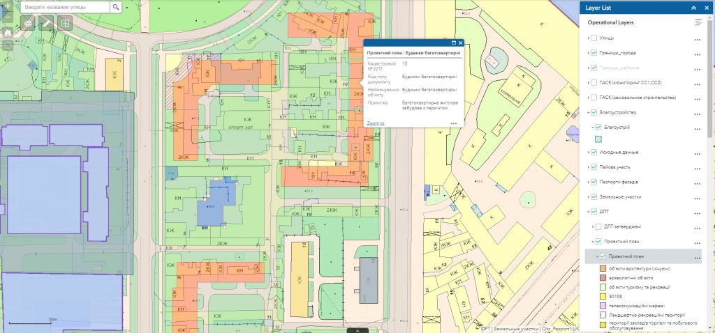
Use geoinformation systems in the area of human activity where the cost of errors made at the stage of product creation and design is extremely high – in the construction industry. It is here that even slight deviations in calculations may lead to catastrophic consequences, both in terms of increasing the cost of the project, and in terms of reducing the level of security for its users. Specialized GIS-solutions not only automate the daily work of the experts and allow to avoid errors in construction works but also reduce risks associated with the influence of the human factor. On the basis of predetermined algorithms and rules, practical GIS will simply not allow you to choose a construction spot on a seasonally flooded territory, unstable soil, within the sanitary zone, or in disregard for the rules of fire safety.
Geoinformation system for construction industry
Optimize construction works by means of specialized geoinformation system
- select construction spots with due regard for all the necessary parameters (distance from industrial zones, type of soil and depth of groundwater, geological structure of the earth shell, exact boundaries of administrative districts, state and parameters of real estate market in the adjoining territories, etc.);
- plan location of social infrastructure in residential construction areas with due regard for existing infrastructure of surrounding areas;
- design utilities of the construction area with account for the terrain and type of soil;
- plan transport networks within the construction area, main and auxiliary routes for public transport;
- determine the required amount of equipment, forces and facilities for construction works;
- determine the nearest suppliers of construction and decoration materials, specialized organizations providing engineering and other services that may be required in construction;
- design the most suitable routes for delivery of construction materials in order to save time and minimize delivery costs;
- estimate influence of construction on the environment.
Approximate structure of GIS database for the construction industry: basic geoinformation resources or cartographic basis
- basic geoinformation resources or cartographic basis: a unified digital topographic and geodetic base of the city, digital orthophoto maps, digital model of the relief with the register of geographical names, etc.;
- thematic information resources are supplemented with corresponding semantic content: register of land plots, register of buildings and constructions, network of certain type of utilities (material and diameter of water pipes, pressure of gas pipelines, voltage of power cables), register of natural resources of a certain type, register of architectural monuments, highways (type of covering), etc.;
- complex or problem-oriented information resources that are a combination of basic and thematic resources, which are united into a certain system with the creation of a new resource for solving a certain problem of territory management, as restricted areas (protected areas of gas pipelines, sewage networks, power lines, etc.).


