Geoinformational demining management system for the demining operator

The work of demining operators requires accuracy, efficiency and access to up-to-date information about the state of the territories. Analytical demining management system for operators provides a full range of tools for effective performance of tasks.

Geoinformational demining management system for the demining operator– is a specialized digital platform that allows effective coordination of work on detection, fixation and cleaning of territories from explosive objects.
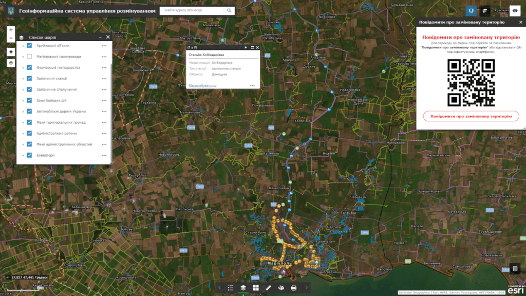
GIS demining management for the demining operator is created with the needs of demining operators in mind and provides:

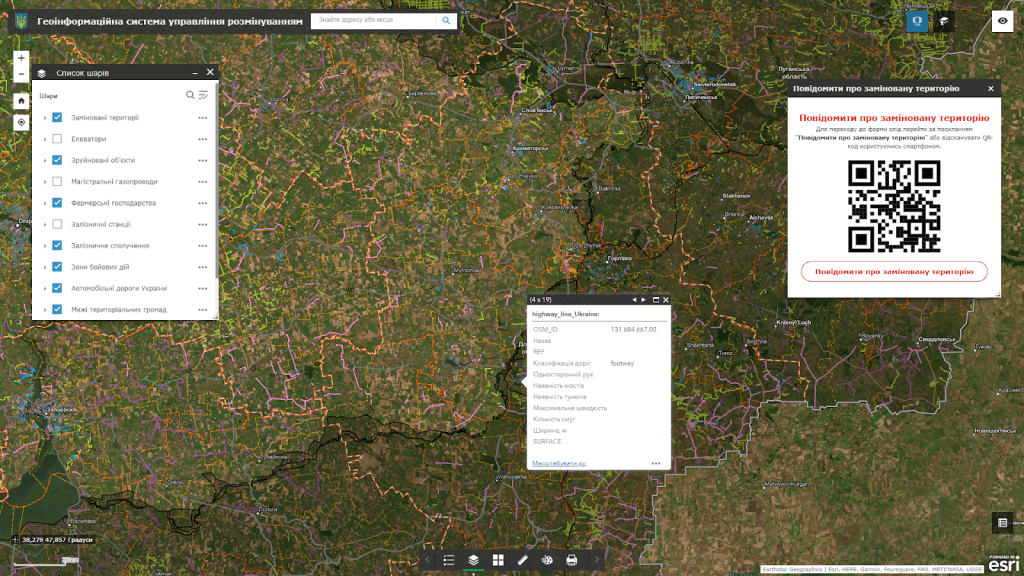
  • integration with electronic maps allows identifying mined areas with exact geographic coordinates;
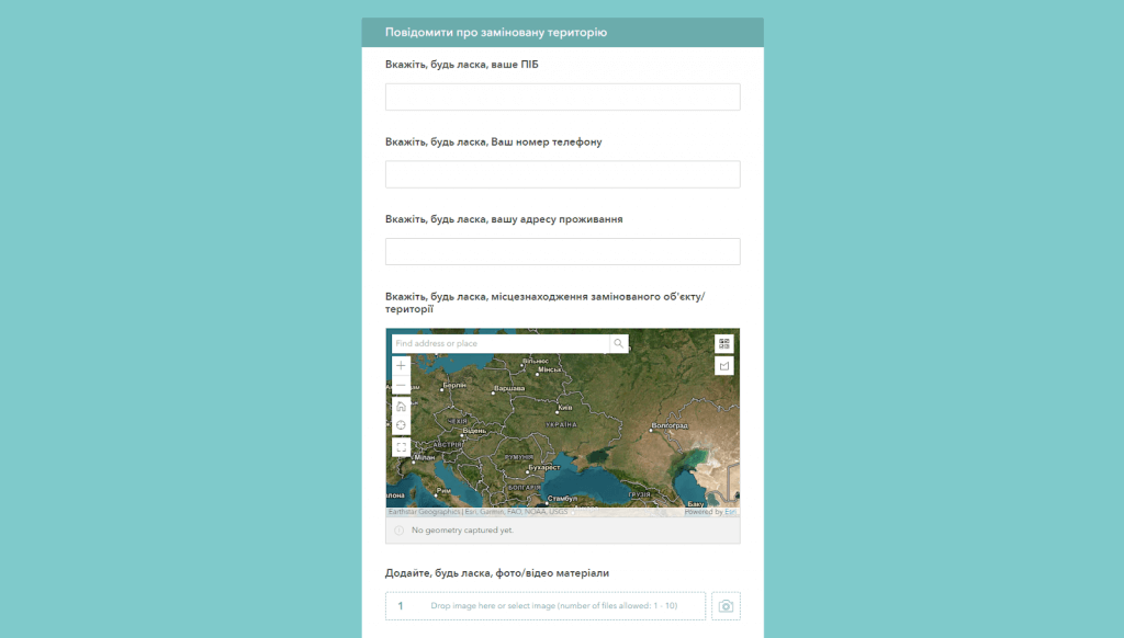
  • operators can add text descriptions, photo reports and other details that facilitate further processing of information;
  • data update and visualization of demining processes online;
  • the system supports the use of drones with magnetometers for remote detection of metal objects such as mines;
  • GIS allows you to store, analyze and transmit data on mined areas, as well as create maps of magnetic anomalies;
  • only a web browser and Internet access are required for operation, making the system easy to use even in the field.

Advantages of using GIS demining management for demining operators:

  • automation of accounting and data analysis significantly speeds up the process of planning and execution of works;
  • thanks to the integration of modern technologies, operators receive accurate information, which reduces the risks to their lives;
  • the system allows exchanging information with other teams, state bodies and international organizations;
  • intuitive interface and multifunctionality ensure comfortable work even for new users.

Geoportal dataset:

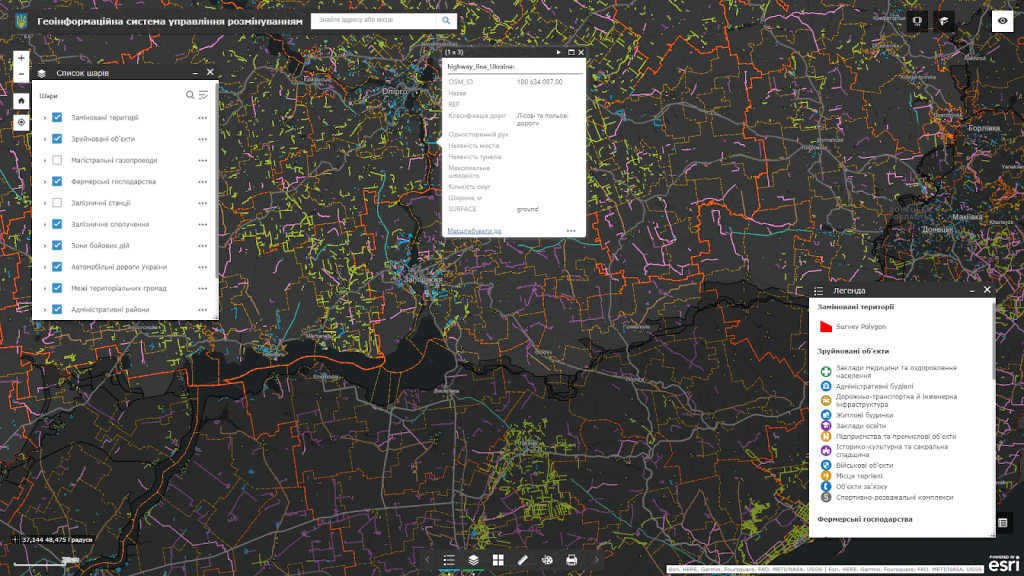
  • modern administrative and territorial structure of the region;
  • satellite images of the area in the pre-war period (images of the area obtained from satellites before the start of the war);
  • graphic representation of the relief of land plots that can be mined;
  • information about objects on which mines may be installed, including bridges, buildings and other objects;
  • geographical data on areas where hostilities are taking place;
  • information about territories where demining has already been carried out and the absence of mines has been established.

The cost and thatroomand order fulfillment

  • MagneticOne Municipal Technologies provides a full range of services related to the development of a demining management geoportal, namely supply, installation and configuration of hardware and software, filling the map with data, training specialists, technical support and support of the geoportal. Development terms are agreed upon additionally.