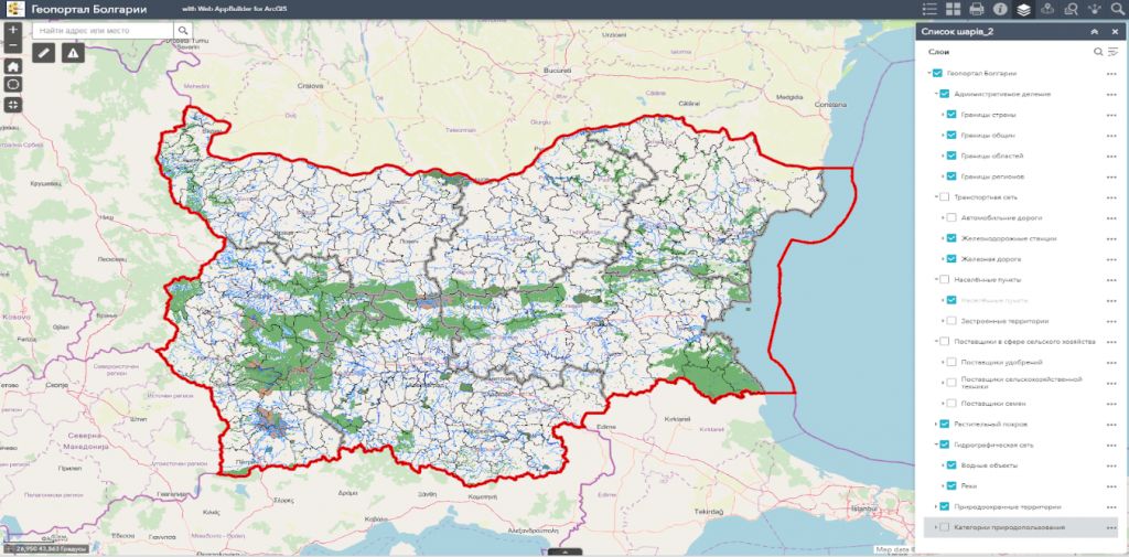
Geoinformation system (GIS) of the country’s agricultural management– a complex decision-making platform in the field of agriculture, built on the basis of GIS technologies and the concept of precision agriculture.
GIS capabilities:
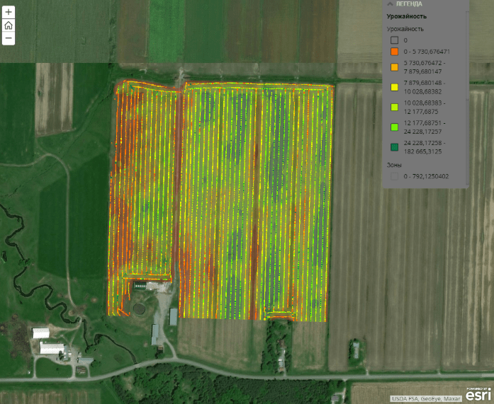
- Vegetation monitoring and identification of problem areas. The platform contains built-in components for the assessment of agricultural crops based on Earth remote sensing data;
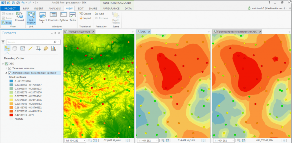
- Automated calculation of morphometric characteristics of the terrain and various indicators: linear erosion susceptibility index (SPI), topographic humidity index (TWI), etc. As a result, a justified assessment of the need to apply fertilizers;
- Real-time monitoring of agricultural machinery and workers;
- Inspection of the condition of fields: from the condition of crops to the operation of equipment and accounting of commodity and material values through a mobile application integrated with GIS;
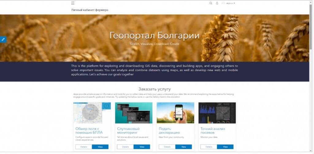
- The only space for ordering services in the field of agriculture, available through the farmer’s personal account.