
Interactive map of relocation of enterprises– is a platform for the interaction of local self-government bodies and executive authorities with existing businesses that have suffered from the occupation regime of the Russian Federation in the war zone. The platform is designed to ensure bilateral coordination regarding the transfer of production capacities of enterprises to safe territories of active communities, to promote the evacuation of Ukrainian production to favorable regions of Ukraine. The product is designed to provide state authorities, local governments, legal entities and individuals with reliable information about the physical condition of property and infrastructure in communities suitable for business and production relocation.
Interactive map of relocation of enterprises

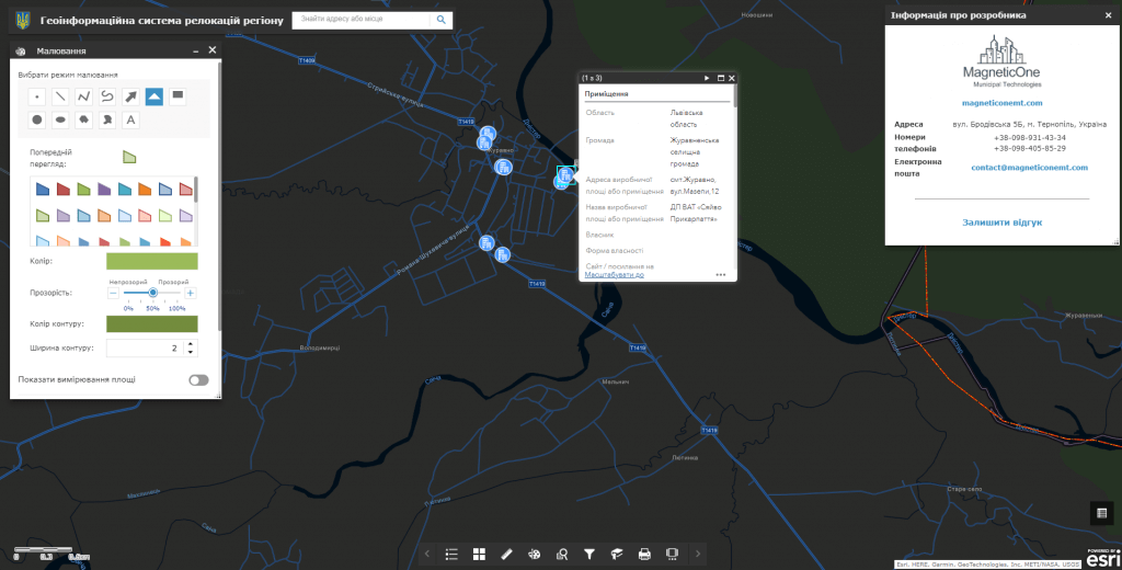
Features of the interactive map:
- dissemination of information on possible business relocation options to the territory of the community, visualization of the investment potential of the community, its economic opportunities;
- a convenient system for filtering enterprise relocation offers by key parameters (property type, connection to a specific type of engineering networks, etc.), territorial principle, etc.;
- automating the submission of an official application to the relevant executive authorities and local self-government bodies with a proposal to relocate the enterprise.
Interactive map modules:
- a subsystem for displaying free industrial areas and free land plots proposed for relocation in combination with popular cartographic resources (Google Maps, OpenStreetMap);
- subsystem of visualization of the investment potential of the region as an information panel (dashboard);
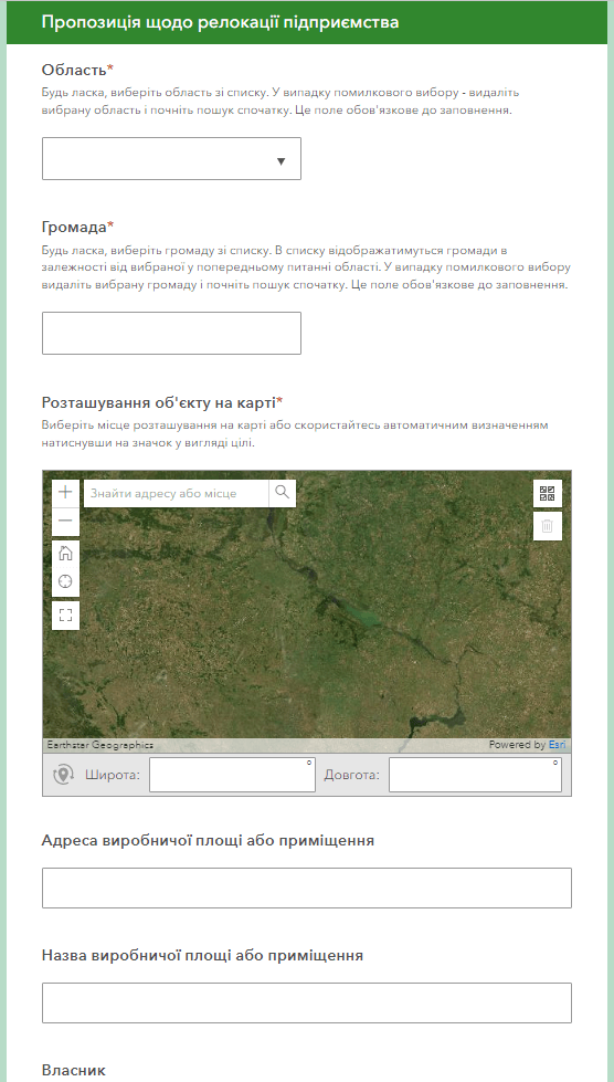
- the operational audit and proposal submission subsystemunused industrial premises and free land plots for the implementation of investment projects;
- a subsystem for the formation of the text of the application for relocation of the enterprise and its submission to local self-government bodies and executive authorities.
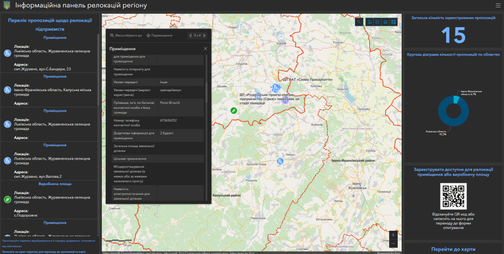
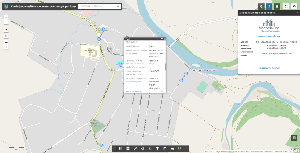
Advantages of using an interactive map for the community and authorities:
- prompt submission by the community of free land plots and free production areas for the relocation of enterprises from the war zone and temporarily occupied territories;
- visualization of the actual state of property and production assets available in the community for the relocation of production with the possibility to leave a photo gallery, information about the type of property, connection of production areas to engineering networks (water supply and drainage, gas supply, electricity supply, etc.), conditions of transfer of property (rent, sale, permanent use), etc.;
- the possibility of attracting a promising investor, increasing income to the community budget, creating new jobs.
Business opportunities:
- review and analysis of proposals from communities regarding business relocation with the possibility of interactive transition to each of them and review of important criteria for choosing one or another object (property condition, area of the premises, lease term, etc.);
- the possibility to promptly contact the responsible persons from local self-government bodies or executive authorities regarding the possibility of relocation of the enterprise to the territory of the territorial community, district, oblast;
- automation of submitting an electronic application to local self-government bodies and executive authorities regarding the relocation of the enterprise and tracking the status of the application.
The cost and thatroomand order fulfillment
MagneticOne Municipal Technologies provides a full range of services related to the development of an interactive map of relocations of the region, namely supply, installation and configuration of hardware and software, filling the map with data, training specialists, technical support and support of the interactive map. Development terms are agreed upon additionally.