Geoinformational system of farm management

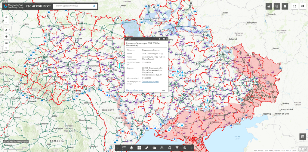
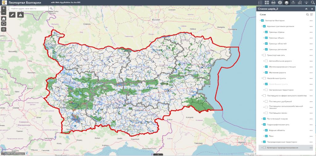
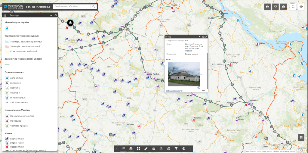
Geoinformation system (GIS) of farm management– a complex decision-making platform in the field of agriculture, built on the basis of GIS technologies and the concept of precision agriculture.

GIS capabilities:

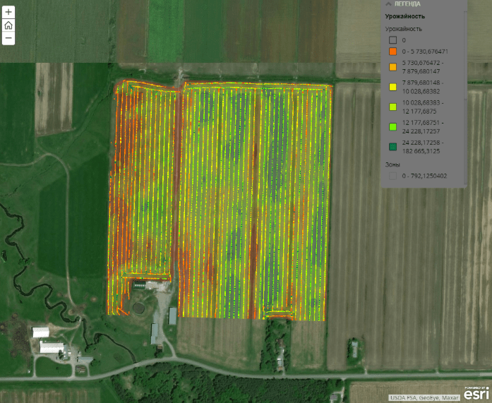
  • Vegetation monitoring and identification of problem areas. The platform contains built-in components for the assessment of agricultural crops based on Earth remote sensing data;
  • Automated calculation of morphometric characteristics of the terrain and various indicators: linear erosion susceptibility index (SPI), topographic humidity index (TWI), etc. As a result – a reasonable assessment of the need to apply fertilizers;
  • Real-time monitoring of agricultural machinery and workers;
  • Inspection of the condition of fields: from the condition of crops to the operation of equipment and accounting of commodity and material values through a mobile application integrated with GIS;
  • The only space for ordering services in the field of agriculture, available through the farmer’s personal account.
The geoinformation system for managing farming is a tool for increasing the efficiency of agriculture

  • Monitor the condition of individual agricultural crops and adapt the work according to the types of soils and slopes, the amount of fertilizers and sunlight;
  • Receive and structure field information and engineering data;
  • Use the entire set of information to assess key indicators and plan measures to improve them;
  • Discover trends and patterns with access to all tabular data linked to a map;
  • Increase work efficiency through GIS integration with 1C, Microsoft Excel, Salesforce;
  • Control patterns in the distribution of quantitative characteristics that determine soil moisture, the content of salts and fertilizers in the surface layer of the soil;
  • Get detailed information on yield per unit area.

Benefits of implementing a geoinformation system for farmers and agrarians

  • integration of field data collection processes, operational monitoring of equipment, assistance in planning future crops;
  • providing the farmer and agronomist with the means of daily acquisition and analysis of the current situation in the fields;
  • providing the economy with visual tools for analyzing vegetation dynamics and factors affecting it;
  • a convenient tool for collecting agrochemical indicators;
  • a platform for accumulating data important for agricultural production;
  • a convenient farmer’s portal is available from a mobile device;
  • a platform for every farmer to order agriculture related services.

Services that precede the implementation of the solution

  • Консультування
  • Сканування паперових документів та карт
  • Просторова прив'язка картографічних матеріалів
  • Оцифрування
  • Наповнення бази даних ГІС