Updating the database of the geoinformation system of land resources management

Updating the database of the geoinformation system of land resources management (GIS ZK)
Data sources for GIS of community land resources management:

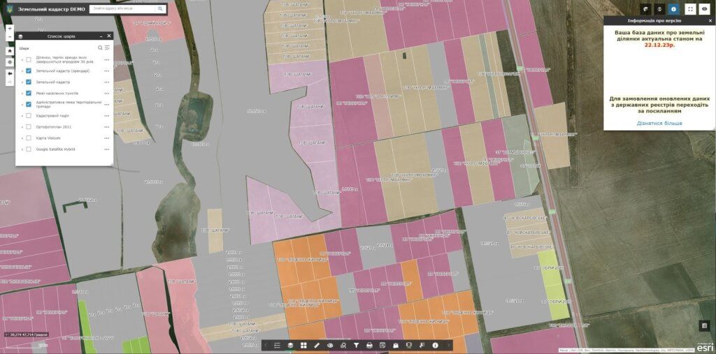
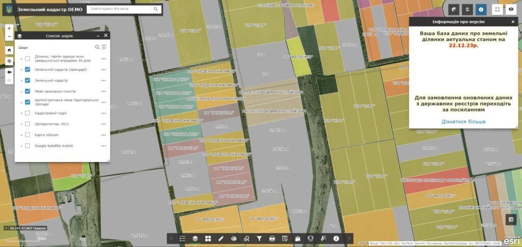
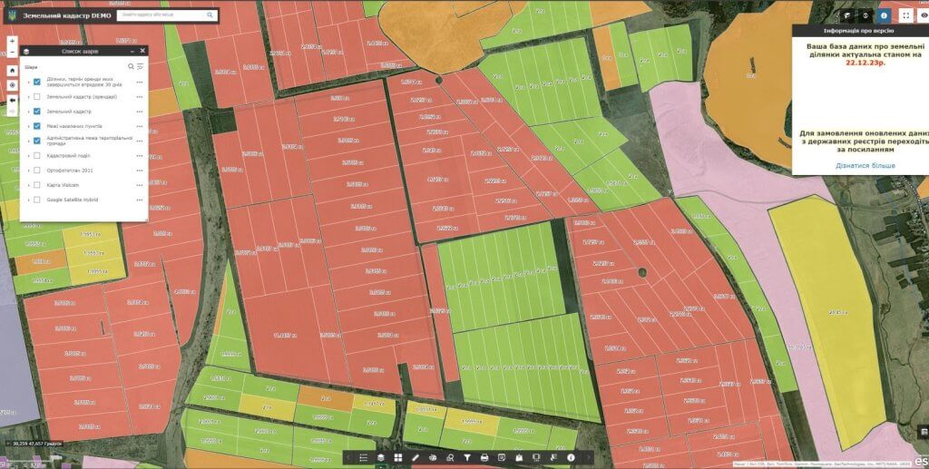
The geoinformation system of community land resources management (GIS ZK) is based on data from more than 6 state registers and information sources, which makes it a powerful tool for making informed decisions about land resources at the community level.
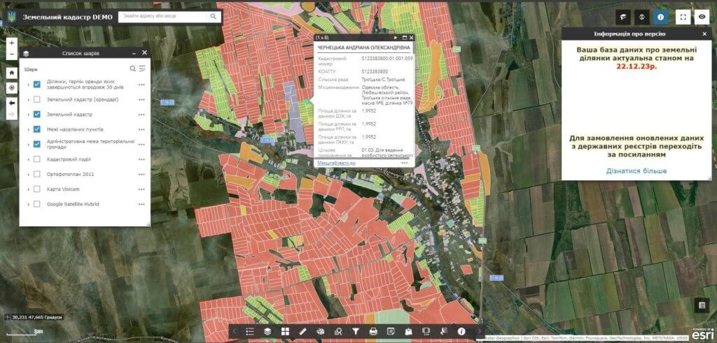
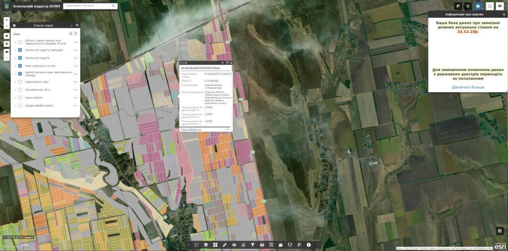
Here are some of the key data sources:

State Land Cadastre (DZK):Contains information about all land plots in Ukraine, including their location, area, owners and intended purpose.

State Register of Property Rights to Immovable Property (DRRP):Contains information on property rights and other real property rights, including land plots.

Register of movable property encumbrances:Contains information about encumbrances, such as mortgages and liens, on movable property, including land.

Register of court decisions:Contains information about court decisions that may affect ownership rights to land plots.

Tax registers:Contains information about land taxes and other tax obligations related to land plots.

In addition to these main data sources, the GIS of the ZK may also include data from:

Open sources:Data that is freely available to the public, such as satellite imagery, census data, and statistical data.

Local cartographic materials:Data produced by local authorities, such as township master plans, boundary maps and land resource maps.

It is important to note that all data in GIS ZK are updated in accordance with the update schedules of official registers. This ensures that the information presented in the GIS is accurate and up-to-date.

Thanks to a wide range of data sources, GIS ZK can be used for:

  • Tracking land use:Monitoring how land is used in a community over time.
  • Identification of vacant land:Identification of lands that are not used or used irrationally.
  • Assessment of land potential:Determination of the best use of land plots.
  • Management of land resources:Making informed decisions regarding the management of the community’s land resources.
  • Decision support:Providing information for decision-making on land management, planning and development.
  • The geoinformation system for managing land resources of a territorial community is a valuable tool for local self-government bodies, land managers, owners of land plots and other interested parties.It can help improve land management, promote sustainable development and ensure a more equitable distribution of land resources.

The cost and thatroomand order fulfillment

The list of documents and materials for the creation of a geoinformation system is agreed upon additionally. The calculation of the cost of creating a product is carried out taking into account a number of parameters: software, number of editors and entry points, thematic layers of the map, branching of the database, as well as individual wishes of the customer. The terms of GIS creation are additionally agreed on the basis of the ordered functionality.

Services that precede the implementation of the geoinformation system

  • Консультування
  • Сканування паперових документів та карт
  • Просторова прив'язка картографічних матеріалів
  • Оцифрування
  • Наповнення бази даних геоінформаційної системи