Geoinformation system of city improvement– is a separate module of the geoinformation system of the community, which reflects the order of complex performance of works on engineering protection, cleaning and clearing, greening of the territory, public service, provision of socio-economic, organizational-legal and environmental measures to improve the microclimate, sanitary cleaning, reduction of noise level, disposal of recycled materials, etc. The geoinformation system of city improvement serves as a tool for monitoring compliance andimplementation of local programs and implementation of measures for the improvement of the city.
Geoinformation system of city improvement
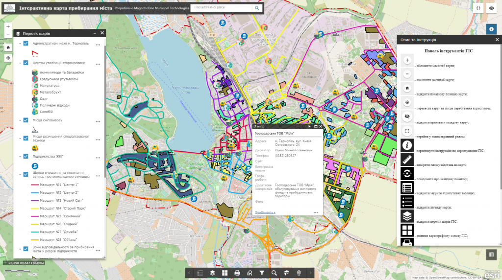
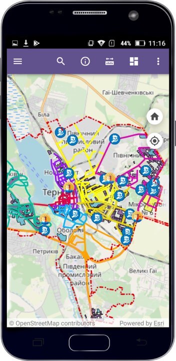
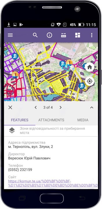
Capabilities of the geoinformation system:
- informing the population about the responsibilities of participants in ensuring cleanliness and order in the city;
- display on an interactive map of the network of specialized services engaged in maintaining the level of service and cleaning of the city;
- moving on the interactive map, changing the scale;
- connection to a set of display of space images, orthophoto plans, urban planning documentation, raster diagrams of engineering networks, etc.;
- display of data and detailed reference information on a separate object;
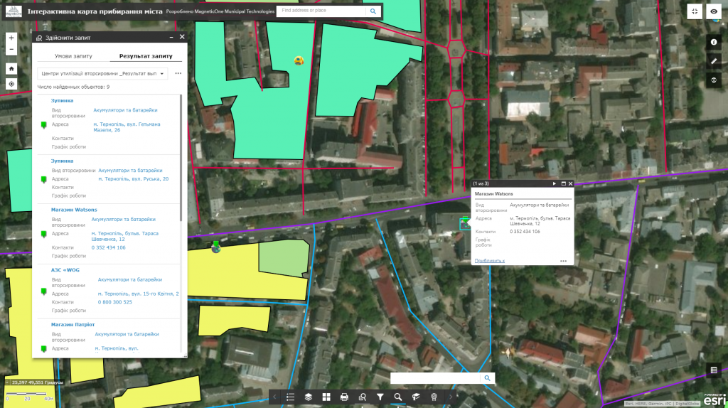
- execution of spatial and attributive queries, the possibility of searching;
- management and monitoring of the state of city cleaning from a mobile phone;
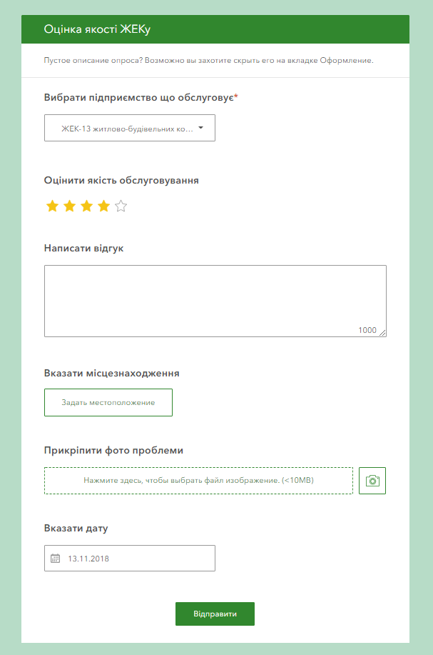
- assessment of the quality of providing services to the population through the system of appeals.
Create a comfortable urban environment with the help of GIS:
- get a comprehensive view of areas of responsibilityindividuals and organizations (housing complex, condominiums, private enterprises, etc.) for cleaning, greening and cleaning of the urban environment;
- get complete reference information about state and private organizations that provide services to the city in the field of improvement (their addresses, e-mails, phone numbers, information about responsible persons);
- optimize the work of garbage collection, snow removal and other special equipment by tracking traffic routes in real time;
- inform the public about the collection points for secondary raw materials (glass, plastic, electronic equipment, batteries, lamps, etc.), marking them on an interactive map;
- provide the function of public control over compliance with the rules of improvement of the territory of the settlement through the system of electronic appeals: assessment of the quality of service provision, sending electronic messages about improper performance of duties, occurrence of emergency situations with the possibility of creating a photo report, etc.;
- increase the speed of response to the public’s requests from communal services and, as a result, improve the quality of service provision.
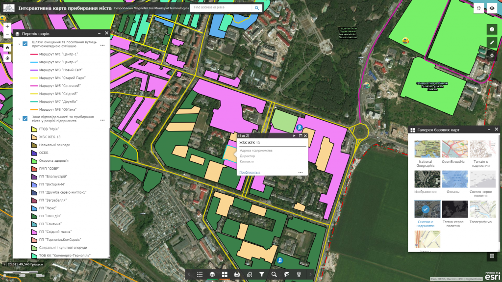
A set of layers of the geographic information system:
- a single address register of streets, buildings (with additional information about the type, material, number of floors of the building, etc.) and other named objects;
- enterprises of housing and communal services;
- areas of responsibility of individuals and organizations for cleaning the territory;
- traffic routes of special equipment;
- recycling sites (glass, plastic, batteries, lamps, computer equipment, etc.);
- places for snow removal, storage of garbage, leaves, etc.
Materials necessary for the creation of a geo-informational system of city improvement
- To create a geoinformation system the customer must provide in tabular form a list of housing and communal services enterprises that are responsible for maintenance and cleaning of the city with relevant data (contact information, location address, areas of responsibility, availability of special equipment, etc.), which will be displayed in the database of the interactive map.
The cost and thatroomand order fulfillment
- MagneticOne Municipal Technologies provides a full range of services related to the development of a geoinformation system for city improvement, namely, supply: installation and configuration of hardware and software, scanning and vectorization of paper documents and the implementation of real-time engineering and geodetic searches for filling GIS data, training specialists, technical support and support of the geoinformation system. Development terms are agreed upon additionally.
Services that precede the implementation of GIS
- Consulting
- Scanning maps and documents
- Georeferencing cartographic materials
- Digitization
- Populating the interactive map database