
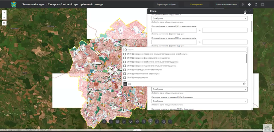
On 7 November 2025, MagneticOne Municipal Technologies delivered online training for employees of Skvyra urban territorial community in Kyiv region. The session covered the land-management GIS and its use in everyday work.
What the GIS supports
- analysis of the community’s available land data;
- preparation of analytical selections and reports;
- identification of records and situations requiring legal or documentary review;
- monitoring lease information and upcoming expiry dates;
- visual comparison of parcels and related information.
The GIS is a working environment and does not replace official registers or the formal procedures required to change their records.
Interactive dashboard
The dashboard presents key indicators in a more accessible form and helps specialists monitor changes without repeatedly compiling separate spreadsheets. Lease information can be reviewed in advance, reducing the risk of missed deadlines.
The exact indicators depend on the datasets available to the community and their update schedule.
Would your land department benefit from a GIS?
We can demonstrate the system, assess available data, and plan implementation and staff training.