
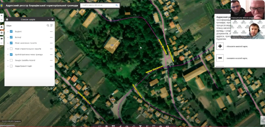
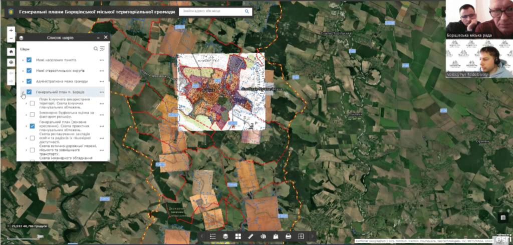
On November 12, 2021, an online presentation of the Geo-information system of the town-planning cadastre and address register of the Borshchiv community took place, which was conducted by the company “MagneticOne Municipal Technologies”.During the event, Volodymyr Podobivskyi, director of MagneticOne Municipal Technologies, presented a solution based on the ArcGIS platform — one of the world's leading technologies in the field of geographic information systems. The system makes it possible to significantly increase the efficiency of the community's urban development management, providing specialists with accurate and up-to-date data for making informed decisions regarding the planning and use of land resources.The main capabilities of the GIS urban cadastre:
- detailed analysis of spatial data;
- information modeling and visualization;
- increasing the efficiency of work in urban planning and architecture
 During the presentation, special attention was paid to the address register module of the Borshchyv community. This module automates the process of maintaining the address register, which includes planning of addresses of settlements, maintaining the register of streets and buildings. Thanks to the implementation of this technology, local authorities will be able to quickly and accurately provide addresses for new buildings, store documentation and ensure data transparency for citizens and businesses.Expected results of implementation:
- simplification of urban development processes;
- prompt access to up-to-date data for all interested parties;
- development of electronic governance and digitization of management processes in the community.
The implementation of the geoinformation system will contribute to the effective management of the resources of the Borshchyv community and increase the quality of the provision of administrative services.
To receive advice on the implementation of GIS in your community, contact the phone: 380631256683, or fill out the form:https://magneticonemt.com/about-us/contact-us/