
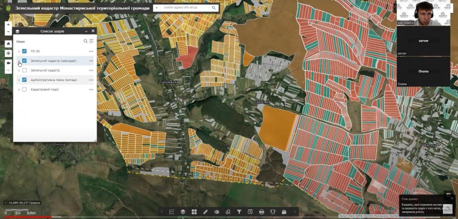
Monastyriska urban territorial communityTernopil region has joined digital communities of Ukraine.
We congratulate the Monastry urban territorial community on the implementation of the geoinformation system.
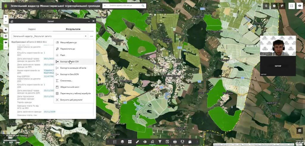
Zorema, the geo-information system of the Monastyris community includes a land cadastre module on the ArcGIS platform, which allows the use of modern geo-information technologies to ensure accounting and rational use of the community's lands.
We thank the management and specialistsMonastyriska urban territorial communityfor cooperation and trust in MagneticOne Municipal Technologies.
More detailed information about geoinformation systems is available on the company's website:
 Regarding the implementation of the geoinformation system, please contact: 38 063 125 66 82
or fill out the form: