
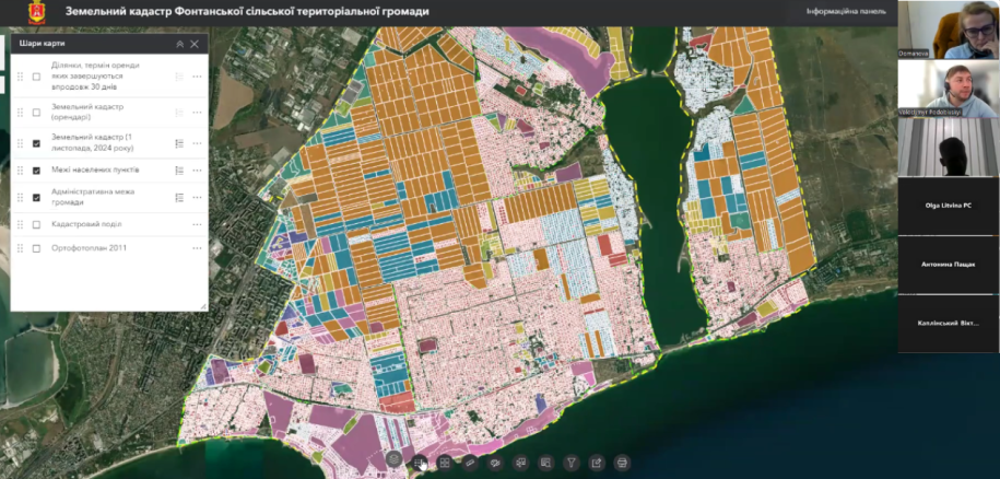
7 November 2024 toteam MagneticOne Municipal Technologiessuccessfullyspentonlinepresentation of the geoinformation system of land resources managementFontanskacommunityOdesa regionon the ArcGIS platform, which allows modern information technologies to ensure accounting and rational use of community lands.
Especially valuable for decision-making now are electronic systems and services that allow prompt answers to questions in the field of land management.
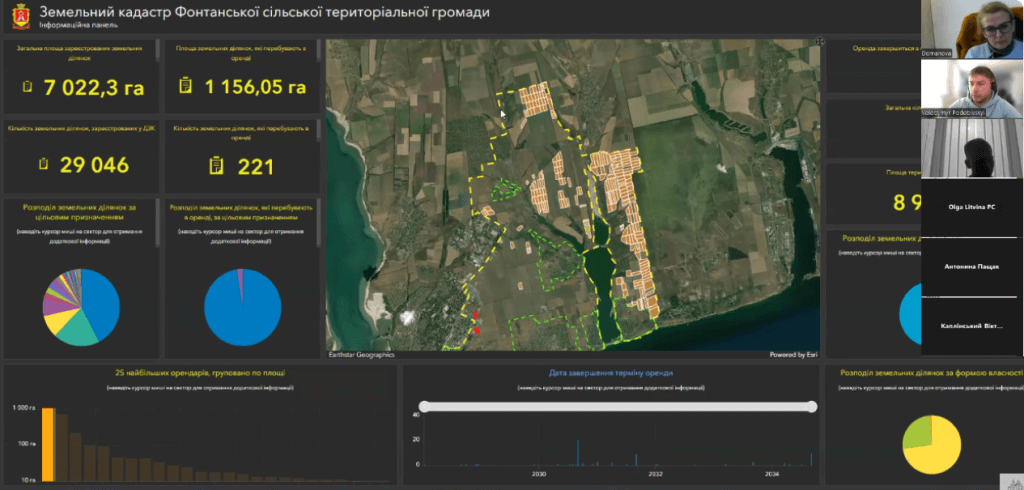
Thanks to the development team, the Fontansk community received a resource that allows you to comprehensively analyze the community's land resources, review information from state registers about the owners and users of land plots, monitor the terms of validity of lease agreements, see restrictions on the use of land, their normative monetary assessment, court decisions and many others. The tools of the geoinformation system make it possible to fill it with information important for decision-making in the field of land management, to carry out inventories of community lands, to ensure the filling of the community budget at the expense of .
Thanks to the managementFontanskaterritorial community and all participants of the presentation for cooperation and trust inMagneticOne Municipal Technologies.
To receive advice on the implementation of GIS land management
To obtain a tool for managing land management activities, we invite communities to cooperate by phone: 380631256683 and e-mail: Show email.