
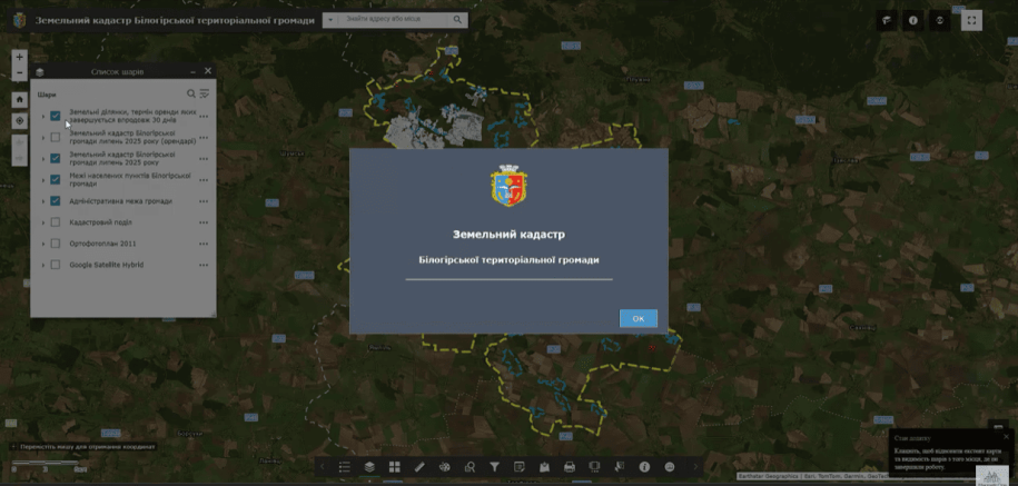
On August 19, the company's specialists started a training course on working with the geoinformation system for the Biloghirsk Territorial Community of the Khmelnytskyi Region.
On the resource land cadastreadded: community boundaries, Starostyn district boundaries, and settlement boundaries. A list of layers of information added to the system was also presented. If we talk about the filling (database) itself, when you click on any land plot, you can view the list of parameters.
On the resource land cadastreadded: community boundaries, Starostyn district boundaries, and settlement boundaries. A list of layers of information added to the system was also presented. If we talk about the filling (database) itself, when you click on any land plot, you can view the list of parameters.
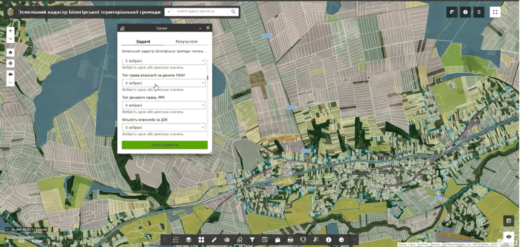
Data source to create a geo-informational system for managing community land resources, there are data from more than 20 state registers and information sources, namely the Register of the State Land Cadastre and the Public Cadastral Map of Ukraine, the State Register of Real Property Rights, the Register of Encumbrances of Movable Property, the Register of Court Decisions, tax registers, etc. All data, according to their relevance, correspond to the terms of updating the official registers.
The second component of the geoinformation system is there is an information system, that is, the so-called dashboard. This resource is presented as an information summary based on the data available in the system. This panel allows you to determine the state of land use of the territory of the community, owners and users, as well as to identify risks and shortcomings of land use, which lead to violations of the law and shortfalls in the local budget of local self-government bodies.