
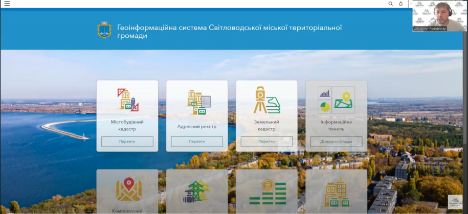
Recently, an online presentation was held on the implementation of the geo-information system of the urban cadastre and address register in the Svitlovodsk urban territorial community.
Implementation of the geoinformation system: a new step towards effective management
During the presentation, Volodymyr Podobivskyi, director of MagneticOne Municipal Technologies, demonstrated the advantages of implementing a geographic information system (GIS) for managing urban development activities of the Svitlovodsk community. This system is developed on the basis of the ArcGIS platform, which is one of the world's leading GIS technologies.
The main goal of this system is to provide specialists with accurate and up-to-date data for making informed decisions regarding the planning and use of land resources. The system allows for detailed analysis, modeling and visualization of spatial data, which significantly increases the efficiency of work in the field of urban planning and land use.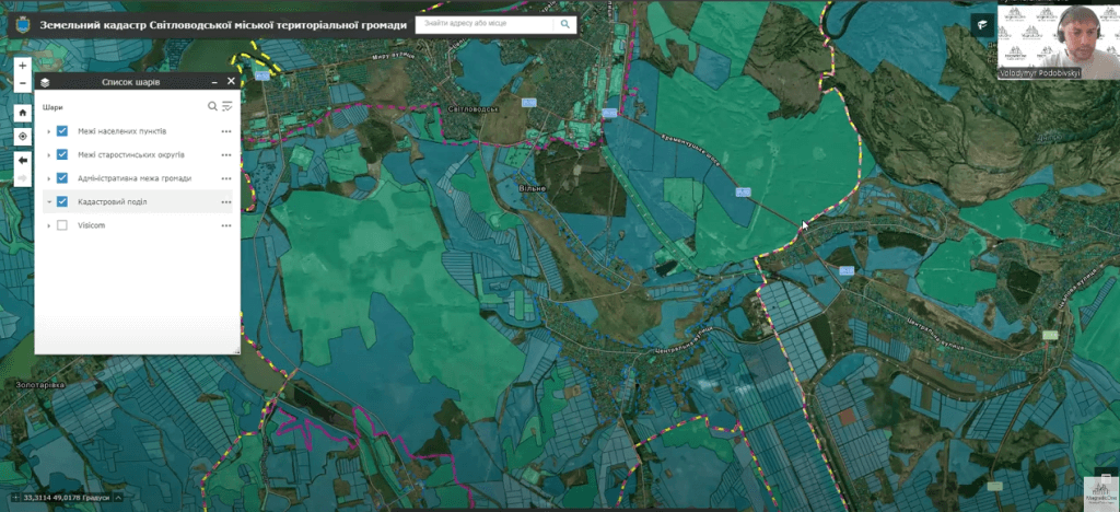
Urban cadastre: new opportunities for community development
The urban cadastre, as one of the key subsystems of the geoinformation system, opens up wide opportunities for controlling and managing the development of the community's territory. The participants of the presentation had the opportunity to familiarize themselves with examples of the use of this subsystem for the design of new residential and industrial zones, infrastructure analysis, as well as for monitoring construction activities on the territory of the community.
In particular, one of the most important aspects of the system is the ability to integrate different data sets, which allows creating a comprehensive picture of the development of the territory, taking into account all important factors – from environmental to socio-economic.
Address register: automation and transparency of processes
During the presentation, particular attention was paid to the community address register module. This module is an important element of the system, which ensures the automation of the processes of keeping the register of addresses, the address plan of settlements, the register of streets and buildings. Thanks to its implementation, local self-government bodies get the opportunity to quickly and accurately provide addresses to buildings, store all necessary documentation, and also ensure transparency and accessibility of this data for citizens and legal entities.
The Svitlovodsk community, thanks to the implementation of this module, will be able to significantly simplify the processes of urban planning activities, providing prompt access to relevant data for all interested parties. This is especially important in the context of the development of e-government and digitization of management processes in the community.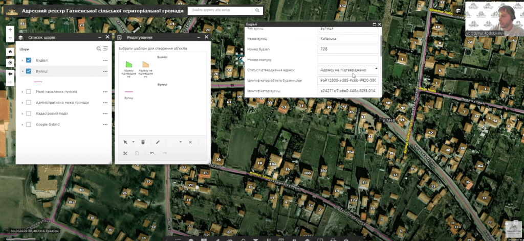
Benefits for the community: from transparency to investment attractiveness
Thanks to the implementation of GIS, the Svitlovodsk community not only increases the efficiency of land resource management and urban planning activities, but also becomes more attractive for investors. Transparency and availability of data, the possibility of forecasting and planning the development of the territory — all this makes the community competitive on a par with other regions of Ukraine.
In addition, the system contributes to increasing the level of trust on the part of citizens, as they get the opportunity at any time to familiarize themselves with current information on the use of land resources and the urban development situation in their locality.