
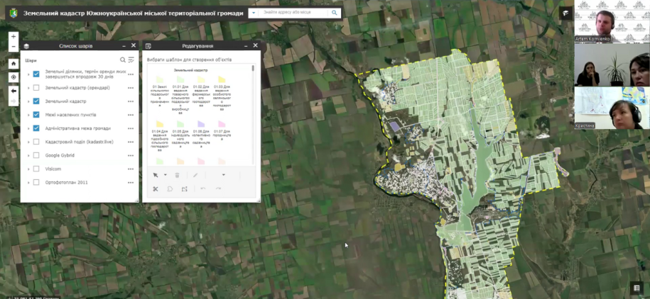
MagneticOne Municipal Technologies continues active cooperation with communities throughout the territory of Ukraine, helping them to improve the management of land resources with the help of modern technologies. Online training was recently held for employees of the Southern Ukrainian Territorial Community of the Mykolaiv Oblast on the use of a geographic information system (GIS) for land management.
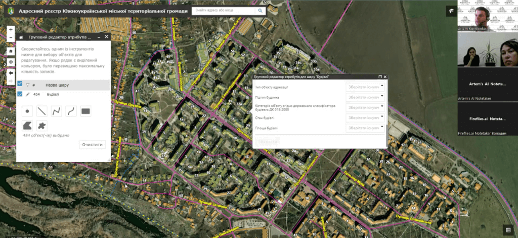
The geoinformation system on the ArcGIS platform provides an analysis of the community's land resources, allows you to generate analytical reports, and most importantly, identify risks related to violations of the law, rent evasion, which lead to losses from the community budget. Provides a complete visualization of the community's land bank, allowing local government officials to have access to up-to-date information on land parcels.
One of the key features of the system is the information panel (dashboard), which provides an opportunity to monitor all important events and respond to them in a timely manner. This greatly facilitates the work of the land resources department and minimizes the risk of loss of income due to untimely renewal of lease agreements.More detailed information on creating an interactive investment map:https://magneticonemt.com/m1gis-interaktivna-karta-investitsijnoyi-privablivosti/