
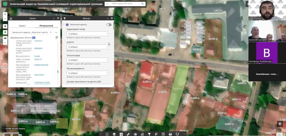
It is very valuable for us that the specialists of the land department of the territorial community use the geoinformation system of land resources management in order to identify opportunities for obtaining additional funds for the development and development of the community.
That is why Ivankiv Territorial Community of Kyiv Oblast recently implemented a geo-information system with a land cadastre module and started a training course on using the system's tools on the ArcGIS platform.
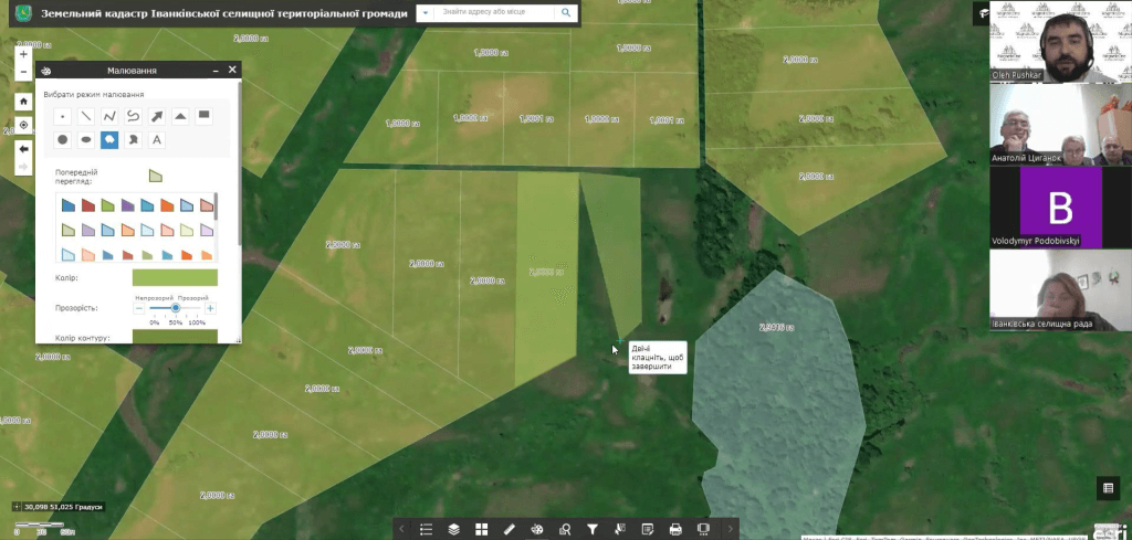
Geoinformation system of the Ivankiv Territorial Community provides an analysis of the community's land resources, allows you to generate analytical reports, and most importantly, identify risks related to violations of legislation, rent evasion, which lead to losses from the community's budget.