
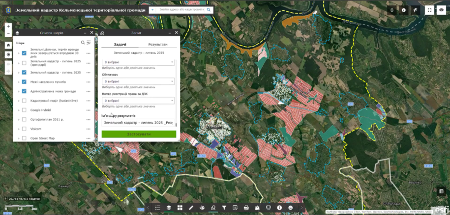
On 16 September 2025, MagneticOne specialists began an online training programme for representatives of Kelmentsi territorial community in Bukovyna. The course focuses on practical work with the community’s new geographic information system.
Spatial data available on the map
The land cadastre already displays the boundaries of the community, its starosta districts and settlements. Integrated information layers allow users to select a parcel on the map and review its available characteristics.
More than twenty official sources
The platform was created using information from more than twenty state registers and databases, including the State Land Cadastre, the Public Cadastral Map, property-rights registers, court decisions and tax sources. Information is updated according to the schedules of the official sources.
An analytical dashboard
The interactive dashboard summarises land-use information. It helps identify owners and users, assess resource use, and reveal risks that may cause budget losses or legal violations. Training enables municipal specialists to use these functions confidently in everyday work.
Prepare your specialists to work with GIS
We provide implementation, role-based training and continued support.