
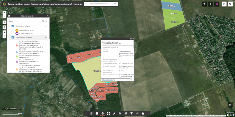
We are glad to announce that the presentation of the project Interactive investment map of the Byshiv territorial community of the Kyiv region (implemented on the ArcGis platform) took place.
We express our gratitudeByshiv territorial communityfor cooperation
The functionality of the system allows you to quickly supplement the map with information about new areas or objects.
After making a few clicks, the investor has the opportunity to get detailed information on each potential investment object, to make a decision based on information about the object (location and its advantage in relation to other objects, its area, a detailed description of the object, information about the form of ownership or use, target and functional purpose).
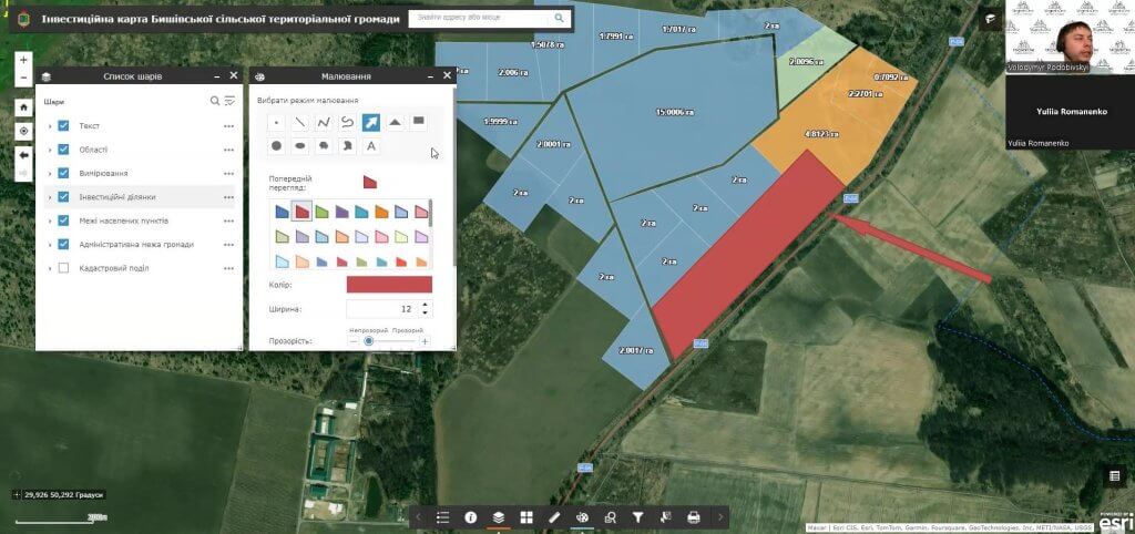
More detailed information on creating an interactive investment map: