
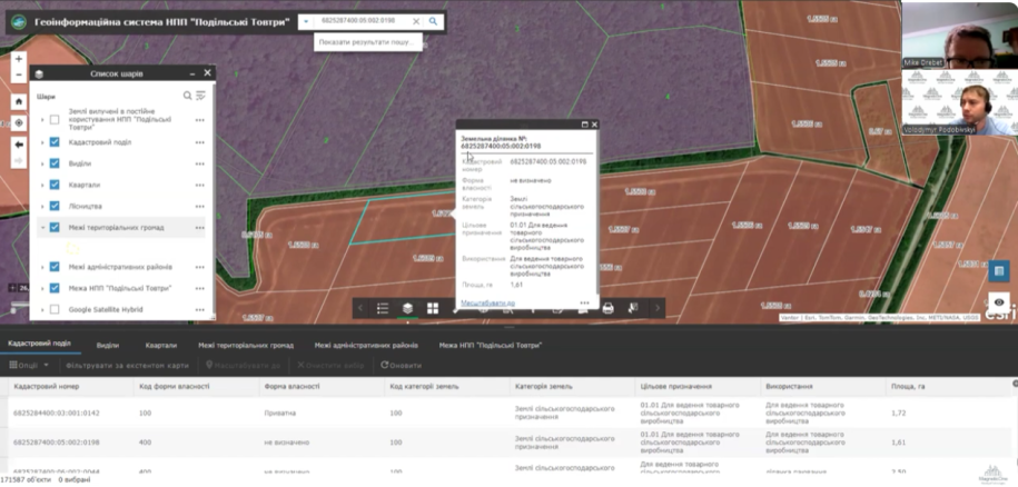
On 7 November 2025, an online presentation introduced the GIS created to support management of Podilski Tovtry National Nature Park. Volodymyr Podobivskyi, Director of MagneticOne Municipal Technologies, demonstrated the completed work and discussed the next stages of data population.
Spatial datasets available in the system
- the boundary of Podilski Tovtry National Nature Park;
- administrative districts and territorial communities;
- forestry units, compartments, and subcompartments with descriptive attributes;
- a cadastral layer containing more than 171,000 land parcels;
- land assigned for the park’s permanent use.
The project update stated that the cadastral dataset was current as of September and included parcel geometry, designated use, ownership category, and land category.
Consistent coordinates for reliable analysis
The datasets were aligned in Ukraine’s USK-2000 coordinate system. This improves the consistency of overlays between parcels, orthophotos, park boundaries, and forestry information.
The GIS provides a shared environment for reviewing territory, identifying spatial relationships, and gradually adding operational information needed by park specialists.
Does your protected area need a unified GIS?
We can assess available spatial datasets and design a system for mapping, analysis, and controlled updates.