
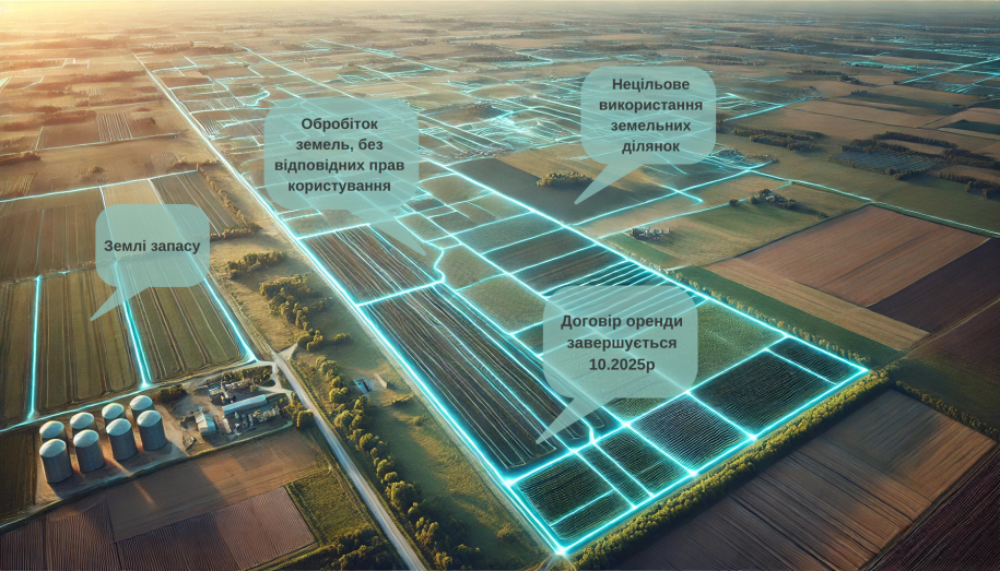
In modern realities, when the competition for resources and investors is intensifying, the optimal management of community land resources becomes not just a necessity, but a strategic advantage. Having accurate information about your land fund, organizing data with the help of modern technologies and using them is about the functionality of a geographic information system (GIS).
Land under control — the community wins
Despite the existence of the electronic Public Cadastral Map, which has been functioning since 2013, many territorial communities still do not have complete information about their land fund. What does this mean? Non-transparent use of resources, loss of potential income from land taxes and failure to offer investors favorable conditions.
GIS: a development tool
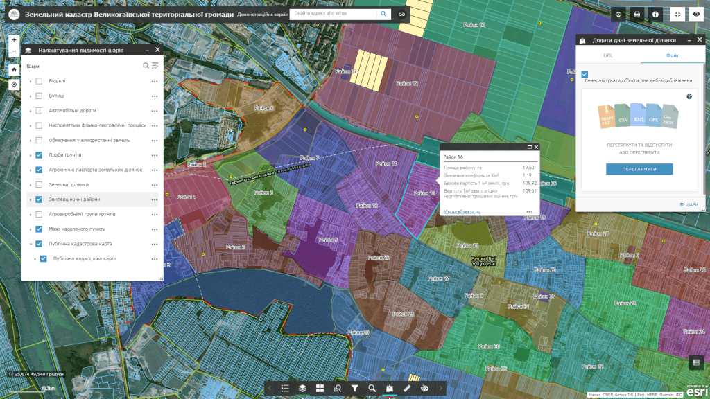
The geoinformation system of land management is not just a database. It is an innovative platform that provides:
• transparent management: automation of accounting and creation of analytical reports;
• reliable data: obtained from state registers updated to current terms;
• operational access: to all cartographic data in real time;
• investment promotion: a clear map of available land for potential tenants and investors.
Potential benefits
• complete accounting of the land fund;
• increase in income from land taxes;
• prevention of legal disputes regarding land plots;
• increasing transparency in resource management.
Implementation of GIS is a strategic decision that helps communities to use their resources effectively, attract investments and ensure sustainable development. GIS tools allow us to better understand, analyze and plan the use of land resources, creating a strong foundation for economic growth.
As of today, the teamMagneticOne Municipal Technologieshelped implementover sixtyof geoinformation systems of land resource management for communities throughout the territory of Ukraine.d