
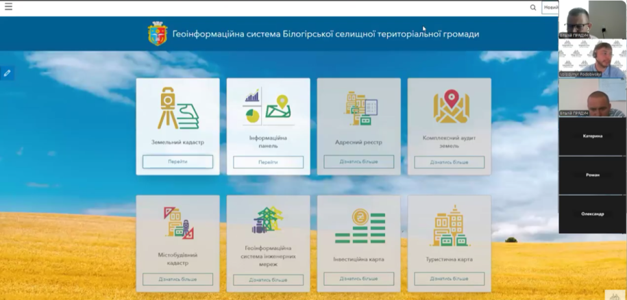
On August 5, 2025, an online presentation of the geographic information system (GIS) of the land resources management of the Biloghir community of the Khmelnytskyi region took place.
Effective management of land resources is the key to the development of any community. It was this goal that became the basis for the creation of the modern oneGIS system of Biloghirsk community, which opens up new opportunities for control, planning and transparency in the field of land use.
Why traditional tools were limited
Despite its existence since 2013Public cadastral map of Ukraine, local communities did not have full access to up-to-date cadastral data for a long time. This complicated the process of managing the land bank, limited the control over the use of plots, and restrained strategic planning.
 Innovative management system
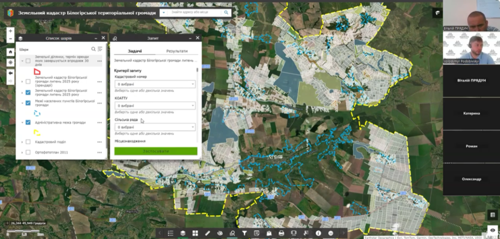 Innovative management system
NovaGeoinformation system (GIS) of Biloghirsk communitybecame a tool of a new generation. The platform combines data from more than six state registers, including:
-
state land cadastre;
-
registers of property rights;
-
tax and court registers.
This allows you to get a complete picture of the land bank of the community: from the exact boundaries of the plots to their legal status, information about tenants, lease terms andregulatory monetary assessment.
Transparency and community development
The implementation of modern GIS opens the way to a qualitatively new level of land resource management. It makes the process transparent, accessible and convenient for both local self-government bodies and community residents.
Learn more about opportunitiesGIS of community land resources managementcan be found out bylink