
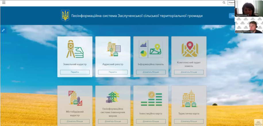
Bilohiria community has expanded its municipal GIS with an Address Register module. The cooperation with MagneticOne Municipal Technologies began with a land-management GIS, and the new module was presented on 27 November 2025.
Core functions of the module
- a structured catalogue of settlements, streets, and buildings;
- spatial presentation of address objects on the map;
- quick access to current working attributes;
- controlled updates by authorised municipal staff;
- preparation of information for further verification and exchange.
Connecting the address layer with the existing municipal GIS makes it possible to compare address objects with parcels and other spatial information.
Verification and protection against errors
The building-verification workflow helps staff check the completeness and accuracy of records. It is intended to reduce duplicates, omissions, and technical errors that often accumulate in older databases or during manual transfer from paper documents.
The tool supports local preparation and maintenance. Official changes to state information still follow the procedures established for the relevant state registers.
Would you like to add address data to your municipal GIS?
We can review existing materials, demonstrate the workflow, and propose a staged implementation.