
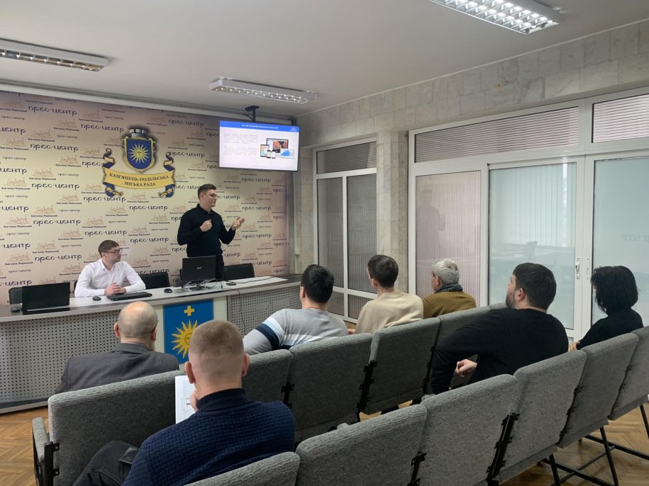
The MagneticOne Municipal Technologies delegation held an on-site presentation of the geoinformation system indoorsKamianets-Podilskyi City CouncilKhmelnytskyi region.
The geoinformation system of land resource management of the Kamianets-Podilskyi urban territorial community was created on the ArcGIS platform, which allows the means of modern geoinformation technologies to ensure accounting and rational use of the community's lands.
CongratulationsKamianets-Podilskyi City CouncilKhmelnytskyi region with the introduction of a geoinformation system.
The Kamianets-Podilskyi urban territorial community has been moving in the direction of digitalization of all spheres of community life for a long time.
Especially valuable for decision-making now are electronic systems and services that allow prompt answers to questions in the field of land management.
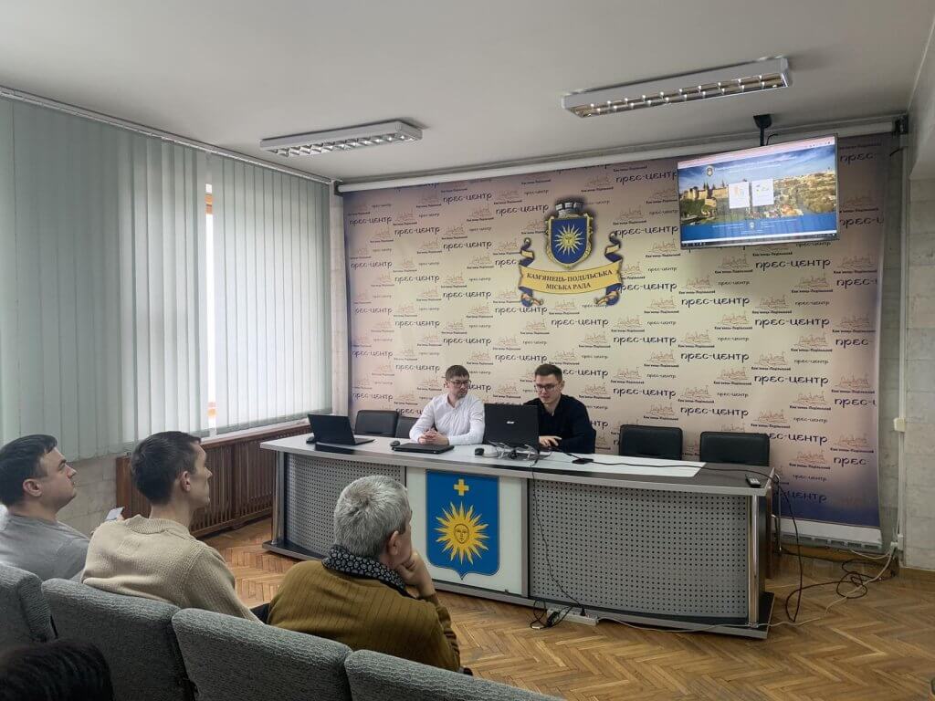
Thanks to the managementKamianets-Podilskyi City Counciland to all participants of the presentation for cooperation and trust in MagneticOne Municipal Technologies.