
News
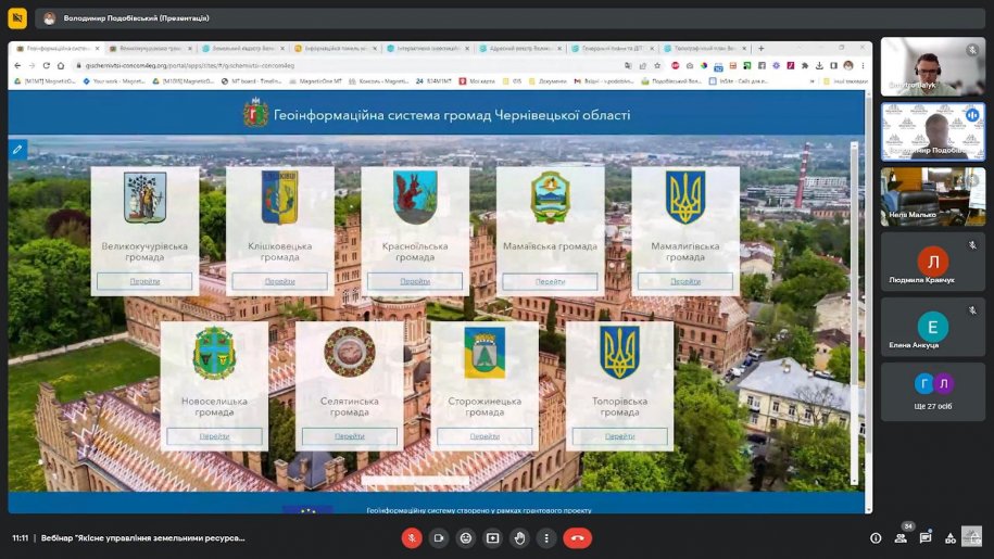
Webinar 08/22/2023 – Geoinformation system for communities of Chernivtsi region
Recently, a webinar was held: Geoinformation system for communities of Chernivtsi region, which was organized by MagneticOne Municipal Technologies andBukovyna Community Development Agency. Representatives of 38 territorial communities of Chernivtsi region took part in the webinar. The topic of the … Read More
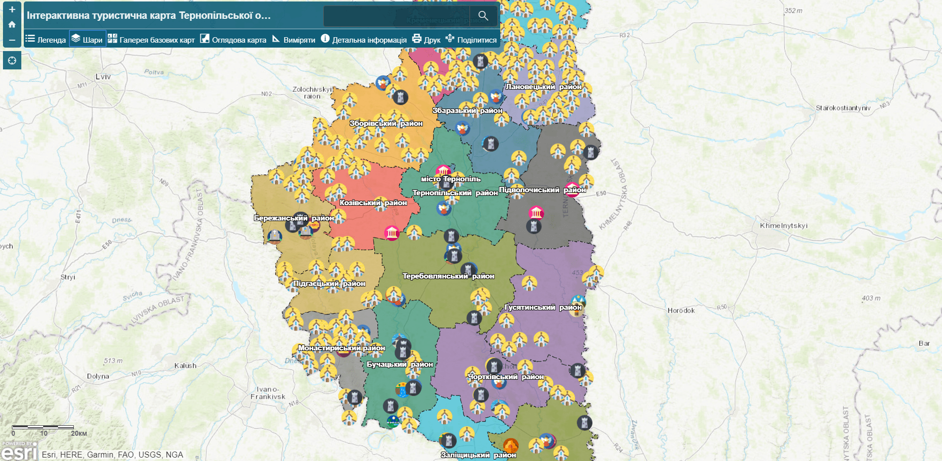
Interactive tourist map of Ternopil region
Customer: Department of Tourism of Ternopil Regional State Administration. Implementation date: September 2018.
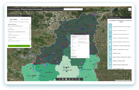
Interactive map “Wooden temples of Ternopil region”
Customer: Department of Internal Policy, Religion and Nationalities of the Ternopil Regional State Administration. Date of implementation: August 2018. Purpose of the project: creation of a spatial electronic database of monuments of the wooden sacral heritage of Ternopil region; visualization … Read More
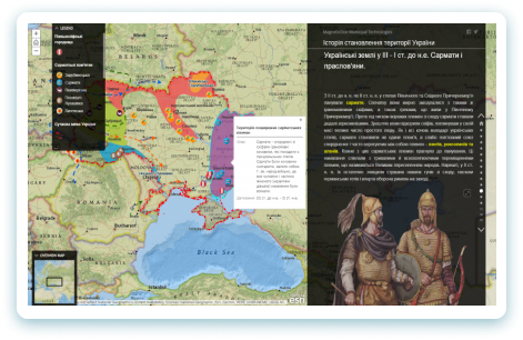
Interactive learning map of “The history of becoming the territory of Ukraine”
Customer: Department of Education and Science of the Ternopil City Council. Date of implementation: September 2018. Purpose of the project: visualization of historical places and events, including changes in the state territory of Ukraine by means of cartographic, photo and … Read More
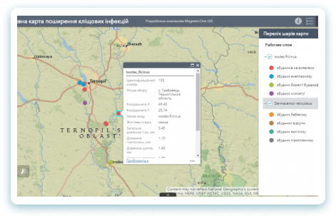
Medical geoinformation dissemination system for tick-borne infections
Customer: Ternopil State Medical University. Date of implementation: February 2018 Purpose of the project: creation of a platform for fixing, storing and displaying data about places of distribution of pathogens of tick-borne infections; analysis of morphometric indicators of ticks as diagrams … Read More