
Climatic adaptation and sustainability of territories
Climate data into understandable risks and an action plan
The platform combines historical observations, climate projections, land characteristics, population and infrastructure to determine vulnerability and adaptation priorities.
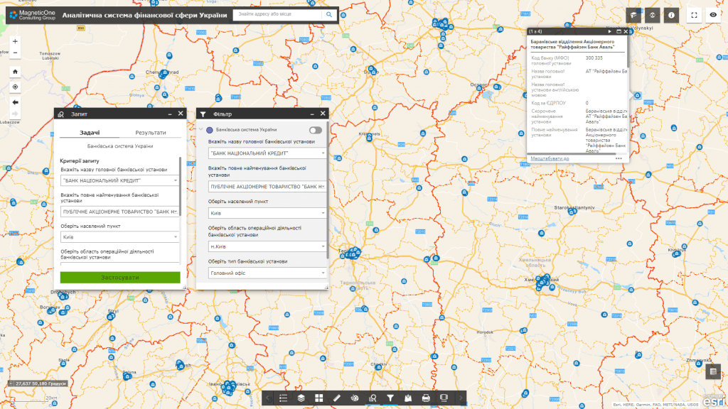
For which management decisions
Climate Intelligence helps to move from general climate forecasts to specific areas, sites, population groups and investment decisions.
Risk map
Where and for whom are the most dangerous heat, drought, flooding, fires, heavy rainfall and other phenomena.
Adaptation priorities
Which territories, objects and population groups require priority measures.
Climate consideration of projects
How future conditions affect the life cycle of infrastructure, construction and investment.
Monitoring of events
Are adaptation plans being implemented and how are impact, vulnerability and preparedness indicators changing.
What data does the system combine
The list of sources is determined during the discovery stage. The system can combine spatial, registry, statistical, documentary and operational data without public disclosure of information with limited access.
The climate
- temperature, precipitation and wind
- droughts, heat waves and extreme events
- climate projections according to scenarios
Territory
- relief, cover and catchment
- building and green areas
- soils, forests and water bodies
Vulnerability
- population and social groups
- critical and social infrastructure
- economic sectors and natural systems
Reaction
- adaptation plans
- projects and budgets
- events, losses and measures taken
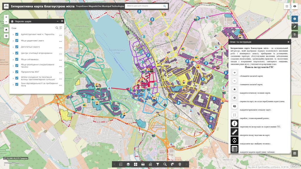
Key analytical modules
The system shows not only the hazard, but also the exposure, vulnerability and adaptive capacity of the territory.
Climate profile
Basic trends, extreme phenomena and scenarios for the selected area.
Multi risk card
Combination of multiple hazards with population, infrastructure, natural systems and economy.
Adaptation portfolio
Prioritization of activities, responsible parties, deadlines, budgets and territorial coverage.
Resilience monitoring
Indicators of impact, readiness, implementation of plans and changes in vulnerability over time.
How implementation works
We define management tasks, users, available data and access requirements.
We agree on classifiers, indicators, integrations, quality rules and updates.
We configure priority maps, panels, analysis scenarios and user roles.
We connect new territories, sources, modules, reporting and support.
Usage levels
Architecture can be formed for a national level, a ministry or public agency, a region, a municipality or an individual organization. Each level gets its own set of data, powers, indicators and reports.
National level
National risks, policies and international reporting.
Region
Territorial risks and inter-municipal measures.
Municipality
Adaptation plan, critical facilities and local projects.
Organization
Climate risks of assets, operations and investments.
Related solutions and services
The platform can work as an independent analytical system or as an add-on to existing registers, geoportals and industry systems.