
Bioresources and regional development
Data on bioresources — in solutions for sustainable development
The platform helps assess the resource base, value chains and territorial constraints in agriculture and forestry, food processing, organic waste and bioenergy.
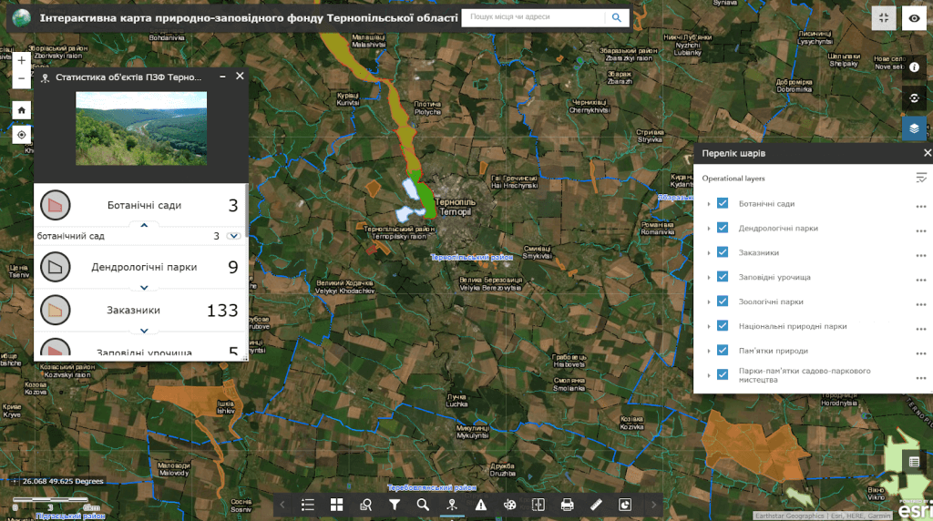
For which management decisions
Bioeconomy Intelligence forms a common data language for authorities, science, manufacturers, investors and municipalities.
Resource balance
Where, in what volume and with what seasonality are biological resources and side streams formed.
Value chains
What resources leave the territory without processing and where it is appropriate to create new production links.
Placement of capacities
Comparison of sites taking into account raw materials, logistics, water, energy, population and environmental restrictions.
Circular-economy scenarios
Searching for opportunities to reuse organic residues, heat, water and material flows.
What data does the system combine
The list of sources is determined during the discovery stage. The system can combine spatial, registry, statistical, documentary and operational data without public disclosure of information with limited access.
Bioresources
- agricultural raw materials
- forest resources and growth
- organic residues and by-products
Production
- enterprises and production facilities
- structure of production and consumption
- supply and processing chains
Territory
- land use and soils
- water and environmental restrictions
- engineering and transport infrastructure
Economy
- employment and human capital
- investment sites
- prices, costs and market indicators
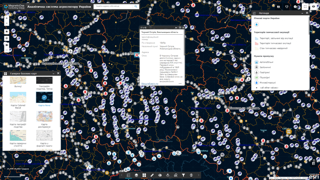
Key analytical modules
The system supports analysis at the intersection of natural resources, economy, spatial planning and infrastructure.
Atlas of bioresources
A map of the origin, availability, seasonality and limitations of resource use.
Map of value chains
Links between suppliers, processors, logistics, consumers and by-streams.
The search for industrial symbiosis
Identifying potential pairs where waste or by-products from one process can become a resource for another.
Scenario planning
Comparison of options for the development of territories, clusters and processing infrastructure.
How implementation works
We define management tasks, users, available data and access requirements.
We agree on classifiers, indicators, integrations, quality rules and updates.
We configure priority maps, panels, analysis scenarios and user roles.
We connect new territories, sources, modules, reporting and support.
Usage levels
Architecture can be formed for a national level, a ministry or public agency, a region, a municipality or an individual organization. Each level gets its own set of data, powers, indicators and reports.
National level
Monitoring of the resource base and support of industry policies.
Region
Territorial specialization, clusters and investment planning.
Municipality
Local resources, sites and cooperation of producers.
Organization
Search for raw materials, partners and scenarios of circularity.
Related solutions and services
The platform can work as an independent analytical system or as an add-on to existing registers, geoportals and industry systems.