Geoinformation system for agriculture

Use the benefits and new opportunities for managing agriculture and its main resource – the land, based on geoinformation systems get the opportunity to share a database that constantly grows. Use GIS technology to develop and analyze a significantly larger number of design options, create advisory and management maps in the agrosphere.

Accelerate and improve the efficiency of the decision-making procedure, provide answers to queries and spatial data analysis functions that reflect the results of the analysis in a visual and easy-to-understand way. Solve tasks related to providing access to information at the request of planning bodies, resolve territorial conflicts (land seizure, inconsistency between the actual use of land and the target), choose the best (from different points of view and by different criteria) places to locate objects, etc.
ГІС для сільського господарства

Increase agricultural efficiency by GIS implementing

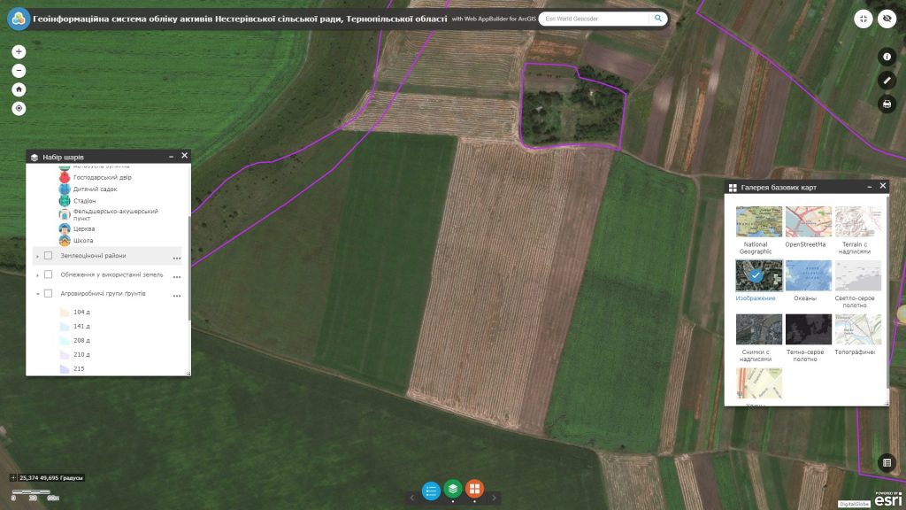
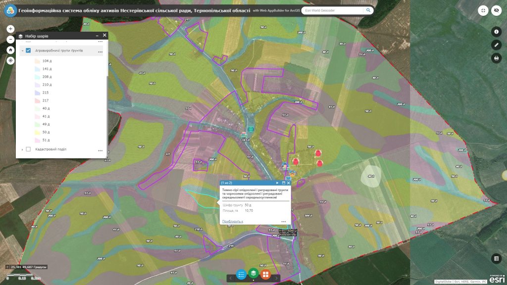
  • carry out centralized storage and management of a cartographic database of an agricultural enterprise (the resource contains information on the boundaries of land plots and agricultural territory, cartograms of agro-industrial soil groups, crop rotation projects, agrotechnical passports of land plots, land allocation projects with all accompanying documentation, digital elevation models, orthophotoplans, etc);
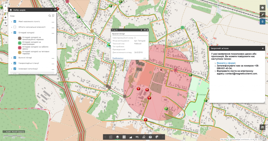
  • efficiently manage land resources: quickly resolve territorial conflicts and illegal seizure of land, monitor land owners and users;
  • monitor agricultural work in the fields, track crops in the context of crops and fields;
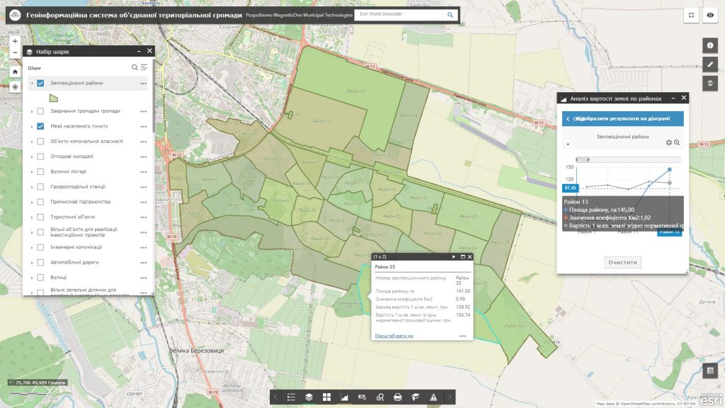
  • evaluate soil quality, potential yield, agro-ecological condition, degradation processes (classification of agricultural land, the allocation of particularly valuable soils, the nature of the soil cover, the distribution of land by steepness and slope exposure, pollution by chemical products);
  • analyze the efficiency of agriculture (justifying the expediency of land division and land formation, compliance with the target use of the land of the agricultural production potential of the soil, the efficiency of growing crops, etc.);
  • perform operational audits of agricultural land, monitor the activities of remote (field) workers (land surveyors, agronomists), ensure the possibility of collecting spatial data in the field in real-time thanks to a mobile mapping app connected to an interactive map;
  • automate the process of reporting, planning and forecasting the development of the industry.

The approximate structure of the GIS for agriculture database

  • basic geoinformation resources: a unified cartographic basis as detailed digital terrain orthophoto maps and geographical names registries;
  • thematic information resources are supplemented with the corresponding attribute component: agricultural land system with multidimensional attribute (semantic) information: geometric data, nature of use (type of land, type of actual agricultural crops), soil cover indicators (humus horizon thickness, humus content, particle size, eroded level, stoniness, salinity, alkalinity, acidity, marshiness, etc.), erosion dangerous areas;
  • complex or problem-oriented information resources – a multi-layered web map of the economy (mesorelief, slope steepness and exposure, their microclimate, groundwater level, humus content in the soil, etc.) with a database of field history.
Створення інтерактивної карти

Services which will be provided prior to solution

  • Consulting
  • Scanning of paper documents and maps
  • Georeferencing of cartographic materials
  • Digitization
  • Provisioning of interactive map database
Коротка інформація

[contact-form-7 id=”10714″ title=”Форма партнерства”]


×