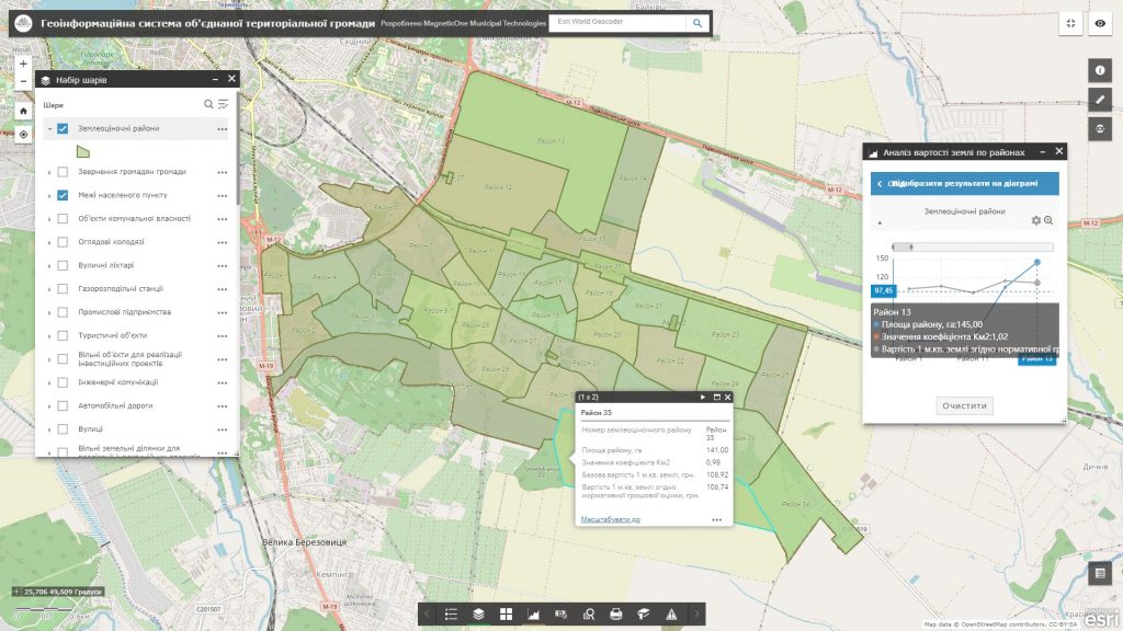
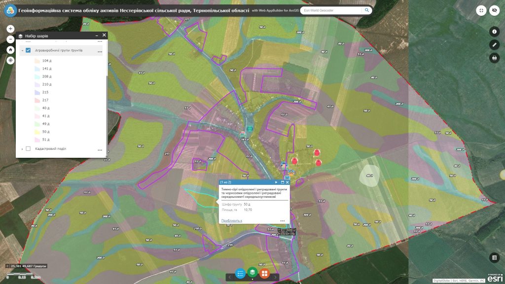
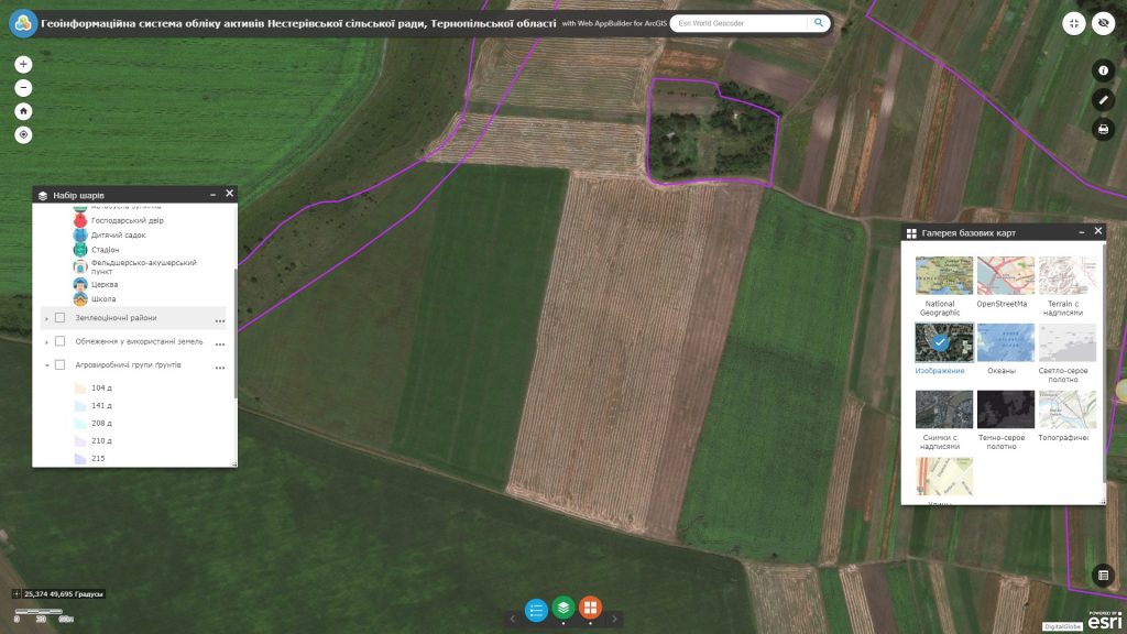
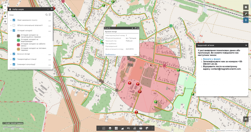
Use the benefits and new opportunities for managing agriculture and its main resource – the land, based on geoinformation systems get the opportunity to share a database that constantly grows. Use GIS technology to develop and analyze a significantly larger number of design options, create advisory and management maps in the agrosphere.
Accelerate and improve the efficiency of the decision-making procedure, provide answers to queries and spatial data analysis functions that reflect the results of the analysis in a visual and easy-to-understand way. Solve tasks related to providing access to information at the request of planning bodies, resolve territorial conflicts (land seizure, inconsistency between the actual use of land and the target), choose the best (from different points of view and by different criteria) places to locate objects, etc.


