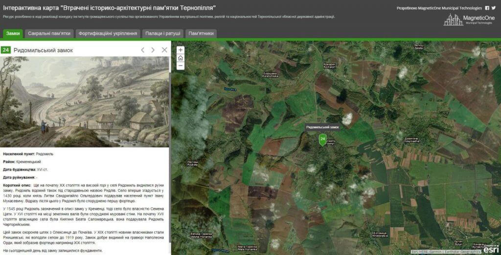
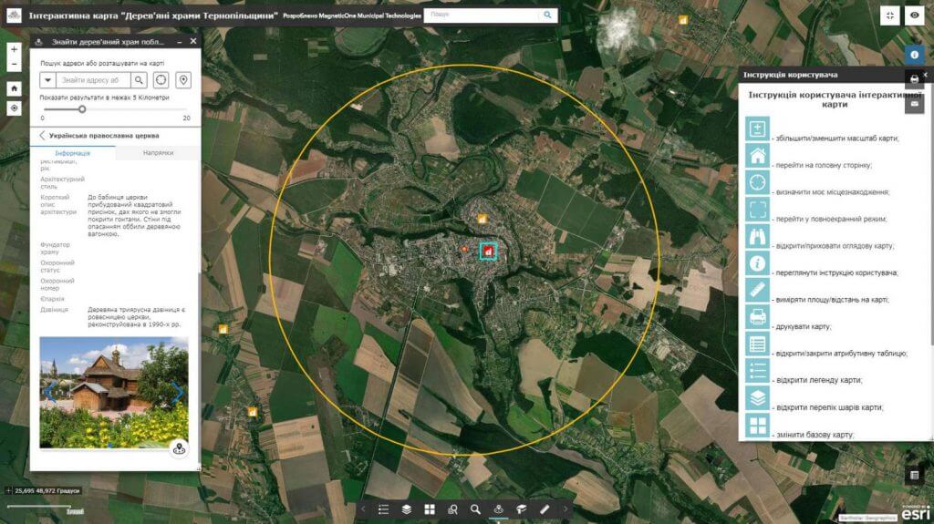
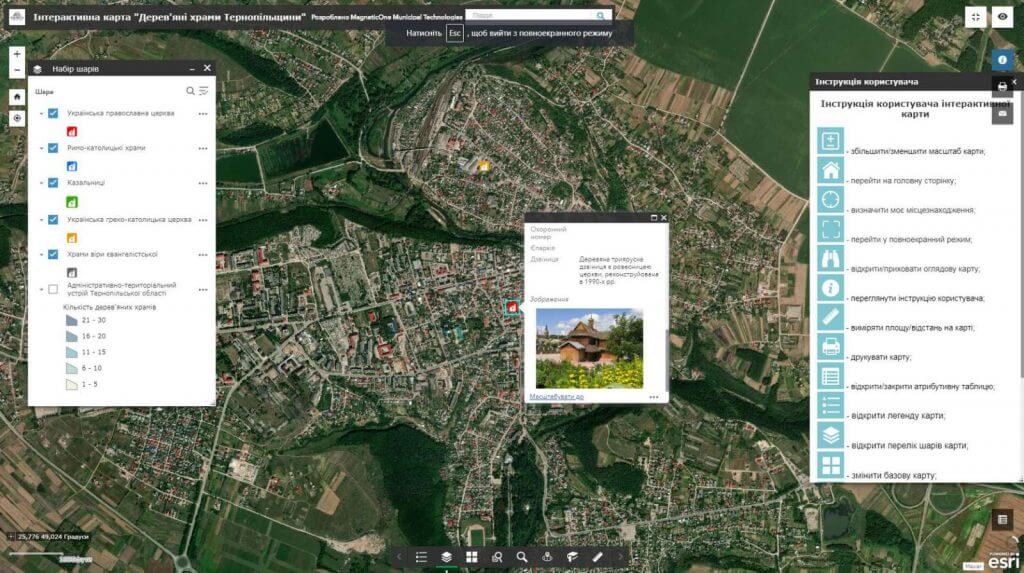
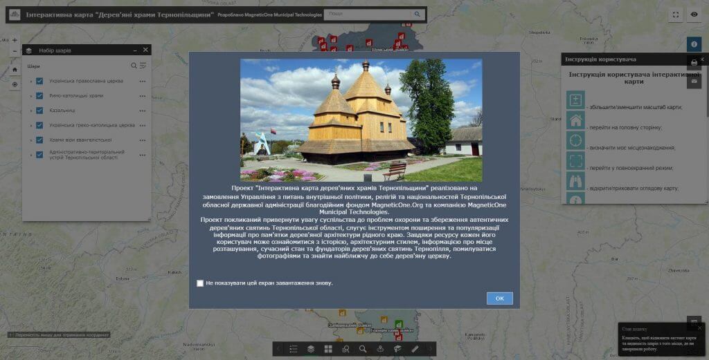
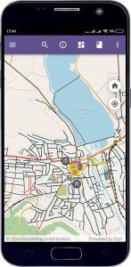
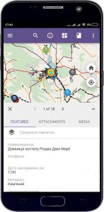
M1MT: Interactive tourist map – a web-mapping product designed for storing, accumulating and displaying information about tourist sites and routes, tourist infrastructure. Spatial information on the map is divided into thematic categories, each of which contains several cartographic layers with the possibility of finding a tourist object and obtaining additional information about it. The map consists of a geographic data system (spatial reference) and tourist sites with numerous places of interest, additional information about the tourist infrastructure and the possibility of detailed familiarization with these objects. Use technology to manage the tourism industry – implement a geographic information system and a synchronized with it mobile app for tourists.
Interactive map features
- display of tourist sites and routes of the region on any device connected to the Internet;
- moving around the map, changing the display scale;
- connecting and disconnecting to the display of data sets, satellite images;
- visualization of data and detailed reference information on an individual object;
- execution of spatial and attribute queries, the ability to search;
- possibility of group data editing, constant readiness of a resource for work.
